Curated OER
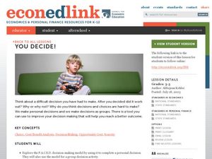
You Decide
Fourth graders, who live on a Native American reservation, investigate how land management is addressed at Tribal Council meetings. They participate in a simulation of a meeting as the discover the workings of tribal government. They...
TeachEngineering
Teach Engineering: Digital Mapping and Geographic Information Systems (Gis)
Geographic information systems (GIS), once used predominantly by experts in cartography and computer programming, have become pervasive in everyday business and consumer use. This unit explores GIS in general as a technology about which...
TeachEngineering
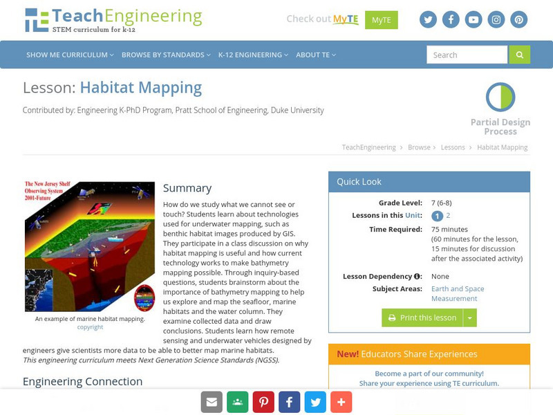
Teach Engineering: Habitat Mapping
The marine environment is unique and requires technologies that can use sound to gather information since there is little light underwater. In this lesson, the middle schoolers will be shown benthic habitat images produced by GIS. These...
FNO Press
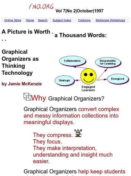
From Now On: Graphical Organizers as Thinking Technology
From Now On explains the purpose and advantages of graphic organizers such as converting complex information into meaningful displays, helping students plan their research, and sometimes acting as mind maps. There are several examples...
Geographypods
Geographypods: Global Interactions: Changing Space the Shrinking World
This learning module examines how the world has become smaller as time and space have converged. Transportation is much faster, making places more accessible, goods can be more quickly and easily transported, and the Internet connects...
Curated OER
Educational Technology Clearinghouse: Maps Etc: Drawing Asia, 1872
A chart from 1872 illustrating instructions for drawing Asia. "General instructions for drawing the continents. Make a scale by marking on a slip of paper or pasteboard the measures 1,2,3, etc., as on the sides of this map. Every measure...
Curated OER
Educational Technology Clearinghouse: Maps Etc: South China, 1971
"South China comprises the drainage basins of the middle and lower Yangtze River, the basin of the His Chiang (West River) in Kwangtung and Kwangsi; and the mountainous coastal provinces of Fukien and Chekiang. The division between the...
Apple
Apple Learning Interchange: Classroom Ideas
Do you use Appleworks in your classroom? Would you like some ideas that others have used? This site presents some exemplary lessons from other teachers.
TeachEngineering
Teach Engineering: Weather and Atmosphere
In this unit, students learn the basics about weather and the atmosphere. They investigate materials engineering as it applies to weather and the choices available to us for clothing to counteract the effects of weather. Students have...
Alabama Learning Exchange
Alex: Land Surveying Project
This project resulted from of the collaboration of a computer aided drafting teacher, Chris Bond, and a math teacher, Lee Cable, (Hewitt-Trussville High School) to provide higher math expectations in CT and real life application in...
University of Washington
A Visual Sourcebook of Chinese Civilization [Pdf]
The goal of this "visual sourcebook" is to add to the material teachers can use to help theirstudents understand Chinese history, culture, and society. It was not designed to standalone; we assume that teachers who use it will also...


