Curated OER
Mapmakers' Perspective
Students examine several maps and consider mapmakers' perspective in early depictions of North America.They determine how the spherical shape of the earth makes any north-south and east-west orientation a matter of perspective. For...
Curated OER
Journey on the Underground Railroad
Students use Indiana and Michigan state road maps to trace a route to Canada from Madison, IN. with the many possible stops along the way. They make a picture book that depicts a runaway slave's journey on UCR.
Curated OER
Population Change in Vermont, 1990-2000
Students improve their mapping skills and knowledge about population distribution and change in Vermont at the county level. They are divided into groups of two or four. Each group is given two county base maps and the population...
Curated OER
Exploring Ancient Greece
Sixth graders use play dough to create a relief map of Greece and through personal investigation and class discussion, draw conclusions about the impact of the geography of Greece on daily life and culture in Ancient Greece.
Curated OER
Using Cartograms t Learn about Latin American Demographics
Students make cartograms while drawing connections between physical, economic, social and cultural geography.
Curated OER
Traveling Through North America
Students identify places and landmarks in North America, specifically Canada and the United States, by using and constructing maps. Six lessons on one page; includes test.
Curated OER
The White Mountain Region 213
Middle school classes describe the White Mountains in New Hampshire using the five themes of geography. They discuss the five themes, categorize objects into each, and develop a list of words to describe the White Mountains. This lesson...
Curated OER
Geological Forces and Topography
Students discuss and research the Earth's geological processes. For this geology lesson, students study maps of Utah and the United States to learn about geological features. Students then complete the research cards for each area of...
Curated OER
Oceans of the World
Second graders demonstrate their ability to find the five oceans on a globe and on a world map and relate their knowledge of mountains and other physical characteristics of land masses to the physical characteristics of the ocean floor.
Curated OER
China
Sixth graders become more aware of how land features, climate, and vegtation affect civilization. Students are divided into groups and research one of China's regions. They make a relief of their designated area.
Curated OER
Seas, Gulfs and Bays
Students define gulf, bay, and sea. In this bodies of water mapping instructional activity, students locate seas, gulfs and bays and explain how they knew which body of water it was.
Curated OER
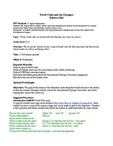
World Cities and the Olympics
High schoolers examine the various cities in which Olympics have been held. Using a map, they describe the reasons why those cities were chosen and choose their own city for the Olympics and state the reasons why. They examine...
Curated OER
Controlling the Flow of the Colorado River: A Study of Dams
Students research and map the Colorado River and its dams and predict the effects of a dam on an area. They suggest reasons a dam would be built and compare the Colorado River system with other major river systems within the US and...
Curated OER
Hawaii
Fourth graders become knowledgeable about Hawaii the state and Hawaii the island. They also work on reading maps of the islands. They come to know the customs, climates and other fun little facts. They also come to know the eight islands.
Curated OER
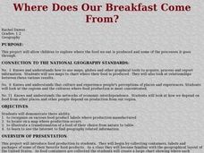
Where Does Our Breakfast Come From?
Students bring in the cartons and containers of some of their favorite foods. They locate the origin of these foods on a map and visit a farm to view how food is grown and processed by a farmer. Students read books, complete worksheets...
Curated OER
Native Americans and Topography at Rose Bay
Students visit a wetland ecosystem. While they are there, students explore how to read topography maps of Rose Bay.
Curated OER
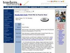
Point Me to Puerto Rico
Students research the physical features and geography of Puerto Rico as well as locate it on a world map and identify its major characteristics. Pictures and postcards are shown to each class for a visual connection to Puerto Rico as...
Curated OER
The World At Your Fingertips
In this the world at your fingertips worksheet, learners bring in 5 items from home that are not made in the U.S., then complete a chart, indicate on a map and answer 6 questions about imported items.
Curated OER
The Human Face of Flagstaff
Students make a brochure for Flagstaff, Arizona. In this geography instructional activity, students look at a map of Arizona and the Flagstaff Chamber of Commerce sheet to find natural and human features of the city. They create a...
Curated OER
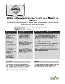
Maize to Maquiladoras: Movement from Mexico to Arizona
Students label maps of Arizona and Mexico of the products that moved from one place to another. In this Arizona and Mexico lesson plan, students also summarize the effects of the movement on life in Arizona.
Curated OER
Colorado
Third graders complete a variety of activities to increase their knowledge of Colorado. They make leafprints, read and listen to stories, write fiction, make collages, participate in discussions and invite their parents to come and see...
Curated OER
Who Dropped What into the Melting Pot?
Pupils show the movement of people to the United States from other countries on maps. They study the geographic cultural roots of foods that contribute to the melting pot of food in America. They research where an ingredient comes from...
Curated OER
The Dynamic Earth
Students participate in assessments related to the layers of the Earth. They read chapters of text, answer questions, watch videos, and identify and label continents and oceans on a map. They design posters, create vocabulary cards,...
Curated OER
Earth and Space Science: Exploring Earthquakes
Students explore earthquakes. In this earthquake lesson, students research earthquakes and identify where they take place. Students use map skills to track down earthquake locations. There are internet sites suggested in this lesson.

