Curated OER
Oh, the Places You'll Go!
Students read about and discuss the fifty-three recommended travel destinations for 2008 from the Travel section of The New York Times. They list three places they would each like to visit, read and discuss the news article, and create...
Curated OER
Hunters and Gatherers
Sixth graders participate in mapping and other activities to understand why ancient civilizations developed as they did. In this ancient civilization instructional activity, 6th graders recognize that there were three important climate...
Curated OER
Tracing the Route of Bracero
Students make a map showing the work of a Bracero Worker. In this Bracero lesson plan, students listen to a worker in an online oral history as he explains his work locations and crops. They use a map to plot the areas he worked and the...
Curated OER
We Found It!
First graders identify and describe landforms. They demonstrate an understanding of the compass rose and a map key using the trail of Lewis and Clark and the Corps of Discovery. They generate a map key.
Curated OER
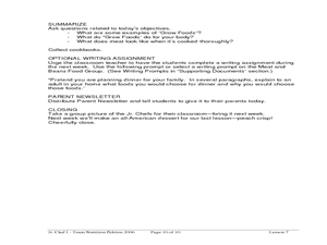
Delicious Dinners by Jr. Chefs
Students create a protein-rich dinner. In this nutrition lesson, students brainstorm foods that are rich in protein. Students make burritos and identify the color of meat when it is cooked thoroughly.
Curated OER
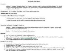
Social Studies: African Folklore and Geography
Students discover the connection between geography and folklore in several African nations. In groups, they record information from maps of their assigned countries. Students observe the pictures in books and match the geographic...
Curated OER
Map Lesson Plan
Fourth graders locate and label major sites related to the Revolutionary War in the Hudson River Valley. They examine topographical features of each site and list a few of these features and list two advantages of each military site.
Curated OER
Put the Mountains on the Map
Students discuss what they know about the regions where snow leopards live. They observe the worksheets to see if they can identify any of the mountain ranges and then use atlases to check and complete the country identification worksheet.
Curated OER
Tissue Paper Geography
Young scholars explore geographic features of the desert and apply their understanding of the topography of the desert by creating a tissue paper painting.
Curated OER
Utah History & Geography
Fourth graders practice large digit addition. Students become familiar with column addition. Students develop knowledge of counties and county seats.
Curated OER
Recreate the Race
Young scholars research and find the route of the Alaskan dog sled race.In this Iditarod race lesson students find the checkpoints for the Iditarod on a map. Young scholars research information in pairs about each one of the checkpoints....
Curated OER
Arkansas is Our State: Differentiating Between a State and a Country
An ambitious geography lesson is geared toward kindergartners. They discover what the differences are between states and countries. They look at maps of Arkansas, and learn what the shapes and lines mean. Additionally, they create a...
Curated OER
Colonial Vacation Planner
Looking for a good lesson on the Colonial Period for your upper-elementary class? Then, this lesson is for you! They use website designs, U.S. travel publications, and maps to plan a family vacation to states which were part of the...
Curated OER
The Bear Facts
Students explore various kinds of bears and gather information about them. In this research and habitats lesson plan, students chart their bear information on large posters with illustrations of their bears. Students map the...
Curated OER
Who's The Boss?
Upper elementary and middle schoolers research and analyze some different types of governments. Democracies, Monarchies, and Dictatorships are some of the types that are looked at. Learners use the Internet to gather information that...
US Mint
Absolutely and Relatively: The Puerto Rico Quarter Reverse
How much does your class know about Puerto RIco? How much can they learn from the back of a 2009 quarter? Use the coin, part of a series of quarters that depict US territories, to teach learners about the geography, culture, and history...
Curated OER
Giving Students a Little Latitude
Students use a world outline map to locate places using coordinates of latitude and longitude. They answer questions about places based on their knowledge of the map and on their research and make up more questions of this sort for each...
National Geographic
Rescuing, Relocating, and Rehabilitating Wildlife
Bring up the Deepwater Horizon (BP) oil spill that occurred in the Gulf of Mexico in 2010. Display the colorful diagram of the coastal and marine organisms living in the area. Show a video about relocating the eggs of the Gulf's sea...
Curated OER
Where in the World Is ...?
Students move themselves around a "world" map on the classroom floor, using lines of latitude and longitude to locate specific spots. They determine the locations of 11 countries where Peace Corps Volunteers are serving and identify in...
Curated OER
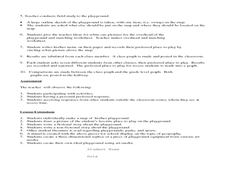
Where Oh Where on the Playground, Do I Love To Be?
Students listen to poem, Where Oh Where On the Playground, Do I Love to Be?, and practice reading, interpreting, and making maps, charts, and graphs in surveying classmates and discussing their favorite places to play in school playground.
Curated OER
Community Map of The Giver
Students read "The Giver" after finishing the unit on inventions and inventors. Using the information in the novel, they develop a geographic map illustrating the community in the story. They identify human and physical features and...
Curated OER
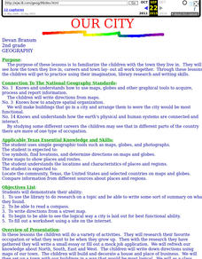
Our City
Second graders familiarize themselves with the town they live in by practicing their imagination, library research and writing skills.
Curated OER
Tracking Satellites Using Latitude and Longitude
Students, viewing an Internet site, plot the path of several satellites using latitude and longitude over the course of an hour. They learn the four basic types of satellites and their purpose.
Curated OER
Valentine City
Learners construct a small city on a table in the classroom. Each student is given a lot to develop. They give directions from one location to another, and write letters with correct addresses to their classmates.


