Curated OER
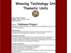
Tallahassee Project
Sixth graders gather information from technological sources such as TV, radio, and Internet as well as from newspapers and maps and produce a final printed report. They use the data to create a spreadsheet and read a Florida state...
Curated OER
Mi país
Students research Spanish-speaking countries on the Internet and make a presentation.
Curated OER
Exploring Explorers
Learners research a selected explorer and teach their small group about their explorer during a jigsaw activity. Independently they write a letter as if they were on a voyage with their explorer, and create a world map that includes the...
Curated OER
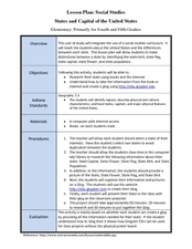
States and Capitals of the United States
Learners label states and capitals on a United States map and complete research on one of the states. In this states lesson plan, students fill in the states on blank maps.
Curated OER
Animals of China and in Asia
Students write an animal report. In this research lesson, students use varied reference materials to find information about animals that live in China and Asia. They write a report about an animal and complete extension activities such...
Curated OER
Let's Travel!
Students review the rules and expectations, they earn points each day by making the correct behavioral choices. They read maps and do Internet reserach, students become aware of United States and or world geography. Students check...
Curated OER
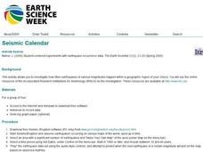
Seismic Calendar
Students discover how often earthquakes happen in a region of their choice. In this science lesson, students use online resouces to help them do their investigations. Students make their own map of their region and show how many...
Curated OER
Cartography
Students follow directions to draw a map of an island. They complete the island map adding their own details using symbols and a legend.
Curated OER
Continents
Learners investigate World Geography by researching the different continents. In this Asian Geography lesson, students discuss the continent of Pangaea and color a worksheet of the continents. Learners locate China on the map worksheet...
Curated OER
U.S. Geography: The Northeast
Students investigate U.S. Geography by creating a map in class. In this natural resource lesson, students create a map of the United States and research the Northeast based on their resources and recyclable materials. Students...
Curated OER
Images of Katrina
High schoolers use maps and online data to find specific geographic areas. In hurricane Katrina lesson plan students use aerial photographic imagery to see some impacts of hurricane Katrina.
Curated OER
Information, Please!
Fourth graders research jobs by using different software programs. In this researching jobs lesson plan, 4th graders conduct a Webquest in order to see what they need to do to complete certain jobs.
Curated OER
Traveling Through Europe with Brochures
Students research a chosen European country. They create travel brochures and expression booklets to present their information to the class.
Curated OER
Dig Into Ireland
Students study Ireland and its distinctive culture. In this exploring Ireland lesson students view a program on Ireland, answer questions then divide into groups and research the Irish connection.
Curated OER
Mapping the Middle East
Students examine how the countries of the Middle East were created. They explore the influence of various political and geographic factors in their creation. They list the things they should consider in deciding how to draw new borders...
Curated OER
How to Make a Lake
Young scholars examine the Michigan state quarter and discuss the effects glaciers have on land formation. They perform an investigate using ice cubes and sand to show how glaciers have carved the land.
Curated OER
Mind Mapping
Students explore the functions of the brain. They create their own "live" model comparing a phrenology chart to our modern understanding of brain function and anatomy. Students compare and contrast brain models.
Curated OER
Edible Resource Maps
Third graders work in groups to create an edible resource map showing locations of at least five resources in the United States. Students research on the internet different regions and the resources that are found in those areas. They...
Curated OER
Determining the Form of Representation for Presenting Research
Students make appropriate choices regarding the form of representation for presenting their research projects, taking into consideration six questions before making decisions.
Curated OER
Researching the World's Oceans
Students research and compare important features of the oceans based on current data. They examine the globe or map, determine the major oceans of the world, and record their names on the data sheet.
Curated OER
Research a State in the United States
Students research one state of the United States of their choice. Using the internet, they gather as much information about the state as possible along with appropriate images. They present their findings to the class in the form of a...
Curated OER
International Relations: Concept Mapping With Inspiration
Students create concept maps comparing and contrasting Neo-realism vs. Realism and Neo-liberalism vs. Liberalism using the Inspiration educational software. This lesson is intended for a high school level social studies class and...
Curated OER
Making a Karst Dictionary
Pupils practice using the correct vocabulary in geology and hydrology. They use the Internet to research topics and practice their researching skills.
Curated OER
What Makes the Writer Write
Students chose a novel which includes social criticism to read. After reading the book, they use the internet to research the issue in the novel and work with others to develop a presentation. In their presentation, they identify the...
