Science Buddies
Science Buddies: Making Species Maps
Conservation biologists know which places are important to protect. How nature guides know which animals can be found in which places, are made possible partly by conservation biology. This experiment allows you to discover how maps can...
TeachEngineering
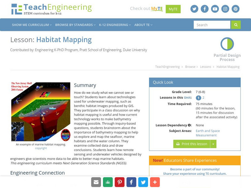
Teach Engineering: Habitat Mapping
The marine environment is unique and requires technologies that can use sound to gather information since there is little light underwater. In this lesson, the middle schoolers will be shown benthic habitat images produced by GIS. These...
National Geographic
National Geographic: Mapping Ocean Currents
An unfortunate spill of 92,000 rubber ducks into the ocean in 1992 elicited invaluable information about global ocean currents as scientists tracked their journeys around the world. In this lesson, students first learn about the Ocean...
Other
National Atlas
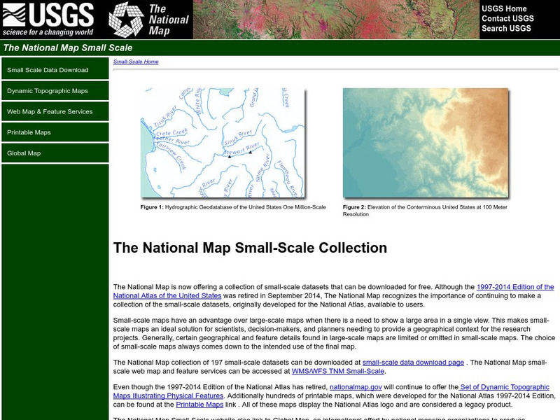
This site is excellent for mapping. You can create ANY kind of map you need. Select all kinds of layers: agriculture, biology, boundaries, climate, history, and more, and then select the geography. It does take some time to figure out...
Harvard University
Harvard University: Maps and Mapping
This site is provided for by Harvard University. Students follow a map on a scavenger hunt, create a map of their classroom and their town, learn how to read topographic maps, and discover latitude and longitude in these inquiry activities.
Alabama Learning Exchange
Alex: Don't Get Lost in Story Writing: Follow the Map!
In this lesson, teachers will guide the students, as a group, through the process of writing a meaningful story using a story map. First the teacher will review the parts that make up a successful story. Then, the students will be guided...
Science Buddies
Science Buddies: Using Weather Balloon Data to Map Atmospheric Temperature
Snow-capped mountains make a picturesque scene, especially in summertime when the peaks are in such contrast to the warmth below. This project shows you a way to see how temperature changes with altitude using data collected twice daily...
NASA
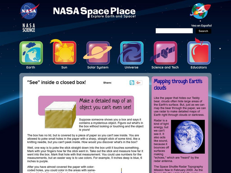
Nasa: Probing Earth Through the Clouds
This site from the National Aeornautics and Space Administration provides a fun activity for the subject. "Clouds often hide large areas of the Earth's surface. We can use radar to make detailed maps of Earth right through clouds or...
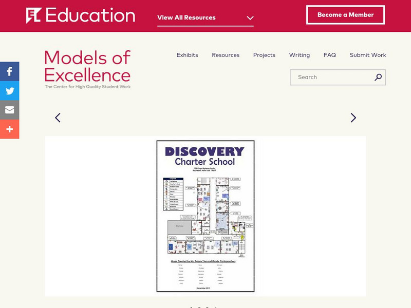
EL Education
El Education: Discovery Charter School Map
Second grade students at Discovery Charter School created this map as the final product for an expedition titled "Discovering Discovery." This expedition was an opportunity for students to explore maps and map-making through the lens of...
TeachEngineering
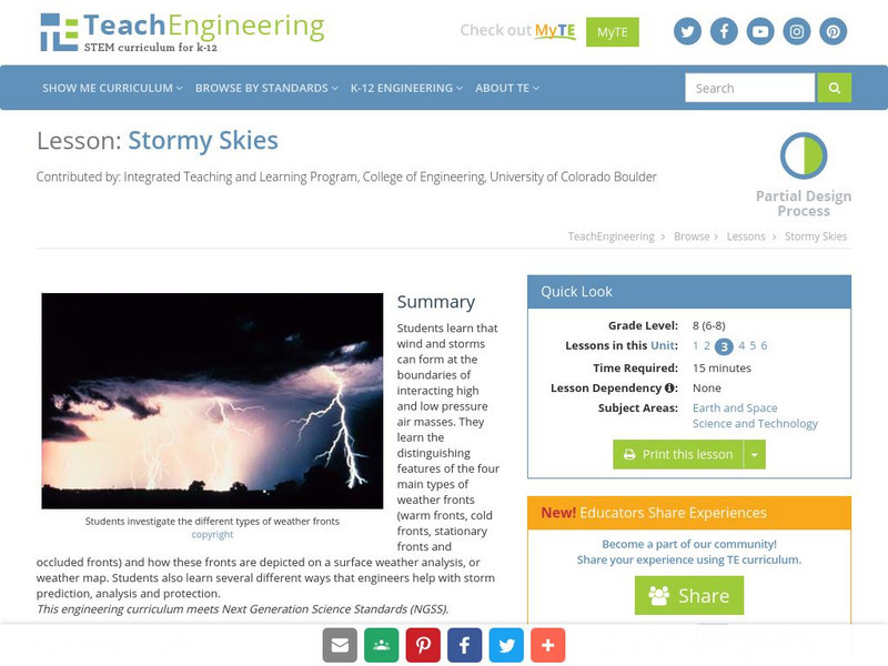
Teach Engineering: Stormy Skies
Young scholars learn that wind and storms can form at the boundaries of interacting high and low pressure air masses. They learn the distinguishing features of the four main types of weather fronts (warm fronts, cold fronts, stationary...
E-learning for Kids
E Learning for Kids: Science: Hawaii: What Makes Up Our Respiratory System?
Run a race with Sandra and learn what our respiratory system is and how it functions.
NASA
Nasa Earth Observatory: Mapping Malaria
This article demonstrates how by mapping malaria outbreaks, the local governments would be capable of spraying these houses with insecticides and reducing malaria outbreaks by half. Medical databases and airplane photographs help...
TeachEngineering
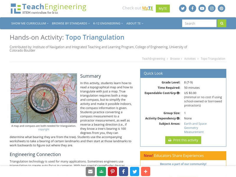
Teach Engineering: Topo Triangulation
In this activity, students will learn how to read a topographical map and how to triangulate with just a map. True triangulation requires both a map and compass, but to simplify the activity and make it possible indoors, the compass...
Science Buddies
Science Buddies: Dry Spells, Wet Spells: How Common Are They?
Here's a project that looks at what the weather was like for over a hundred years. The goal of the project is to compare long-term precipitation patterns in different regions of the country. You will work with historical climate data,...
National Library of France
National Library of France: Heaven and Earth
Learn how art through the ages has been influenced by the Earth and the heavens. See paintings that attempted to explain the Earth's creation from a scientific standpoint, sacred architecture that provided a place to worship the heavens,...
Other
Maine Office of Tourism: It Must Be Maine
This award-winning site makes you want to jump in a car and head for Maine. Pictures, one more beautiful than the last, change before your eyes in celebration of this pristine State. Lots of activities and suggestions for travel.
Better Lesson
Better Lesson: Let's Write About the American Flag
Students will brainstorm adjectives to describe the American Flag and will write two descriptive sentences for homework. Students will also create star art to accompany their writing to show the relationship between words and pictures...
The Dirksen Congressional Center
Congress for Kids: Elections
One of the greatest rights of the American People is the right to vote for the candidate of their choice. Take a look at how this process works at this resource. Information is provided on Election Day, Voting, Election of the President,...
Science Buddies
Science Buddies: Watch Out! That Wild Animal Might Be Rabid!
The word rabid often makes people think of an animal that is extremely violent, crazy, and maybe even foaming at the mouth. But not all animals infected with the rabies disease fit that description. Nevertheless, it is important to avoid...
Other
University of Wisconsin Green Bay: Faults and Earthquakes
This site is primarily set up as an outline and is loaded with graphs, maps, and images. It covers a variety of earthquake-related topics, such as what causes earthquakes, fault lines and structures, seismology, a historical look at...
E-learning for Kids
E Learning for Kids: Math: Igloo: Multiplication
On this interactive website students practice various math skills using a real life scenario with a hockey team. Those skills include completing multiplication facts up to 100, making a list of multiples of a number, and locating factors...
PBS
Wnet: Thirteen: New York: A Walk Around Brooklyn
This is the web companion to a TV series of video walking tours of famous New York Neighborhoods. Take a virtual tour through the borough of Brooklyn, New York and see all the landmarks and treasures it is famous for. You can also read...
Science Buddies
Science Buddies: Molecular Scissors
Ever used a pair of molecular scissors? Restriction enzymes are molecular scissors that cut DNA into pieces. Find out which enzymes will cut, and where by making a restriction map. Then you can figure out what will happen if you change...
Geographypods
Geographypods: Global Interactions: Changing Space the Shrinking World
This learning module examines how the world has become smaller as time and space have converged. Transportation is much faster, making places more accessible, goods can be more quickly and easily transported, and the Internet connects...
Other popular searches
- Making Maps Geography
- Making Maps and Research
- Making Maps Using Technology
- Making Maps of History
- China, Making Maps
- Making Maps of Community
- Reading Making Maps
- Neigborhoods and Making Maps
- Making Maps Lesson Plans
- Making Map Scales
- Making Maps Usign Technology
- Making a Map Project
