PBS
Pbs: Journey to Planet Earth: Rivers of Destiny
Journey to four major river systems - the Mississippi, Amazon, Jordan and Mekong rivers - and take a look at the challenges happening to the people whose livelihood hinges around them.
University of Illinois
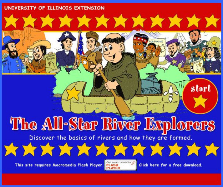
University of Illinois Extension: All Star River Explorers
An interactive site to teach students how rivers are formed, how they change, and why they are important. Cross-curricular activities in language arts, math, science, social studies, and art, some of which include worksheets to download,...
Texas State Historical Association
Texas State Historical Association: Texas Rivers Map [Pdf]
A blank outline map showing the major rivers of Texas. A full color, labeled map of these rivers is available in the Texas Almanac, which is free to download from the main website.
World Geography Games
World Geography Games: Rivers
Explore the major rivers of the world through this interactive quiz.
Enchanted Learning
Enchanted Learning: Major Rivers of Texas
This is a very brief site that offers a map with the major rivers of Texas.
ClassFlow
Class Flow: Major Topographical Features of the u.s.
[Free Registration/Login Required] In this flipchart students will locate major topographical features of the United States of America. Website links covering Identify rivers, mountain ranges, the equator, prime meridian, and lines of...
Siteseen
Siteseen: Civil Conflict: Battle of Stones River (Murfreesboro): Civil War for Kids
Article summarizing and outlining major events at the Battle of Stones River during the Civil War. Includes Fun Facts, video [3:00] on Abraham Lincoln and informational text.
Open Library of the Internet Archive
Open Library: The Bears of Blue River
This ebook version of Charles Major's "The Bears Of Blue River" has been made available in multiple formats by the Open Library. Editions of the full novel, organized by year of publication, may be accessed here.
Enchanted Learning
Enchanted Learning: Kentucky
This site is an organized list of information about the state of Kentucky. The list includes things like the state's nickname, major rivers, symbols, flag, and lots more.
United Nations
United Nations: Cartographic Section: Southeast Asia [Pdf]
This map from the United Nations shows the countries of Southeast Asia. Major rivers are labeled, as are cities.
Curated OER
University of Texas: Afghanistan: Relief Map
A relief map of Afghanistan from the Perry-Castaneda Collection showing how truly mountainous much of Afghanistan is. You can also trace the borders of the provinces and follow the major rivers.
United Nations
United Nations: Cartographic Section: Central Asia [Pdf]
The countries of central Asia are shown on this map from the United Nations. It also shows the major rivers and cities.
Curated OER
University of Texas: Bangladesh: Relief Map
Click on this relief map of Bangladesh to get a close up look of the major rivers that flow across this flat country and form the mouths of the Ganges. From the Perry Castaneda Collection.
PBS
Pbs: American Experience: Fatal Flood
This resource is a companion site to a documentary about a major flooding of the Mississippi River in 1927, where in Greenville, Mississippi, efforts to contain the river pitted the majority black population against an aristocratic...
Curated OER
University of Texas: Bhutan: Political Map
This political map of Bhutan from the Perry-Castaneda Collection shows the major cities, rivers, rail lines, and major trails that traverse this tiny country.
Curated OER
University of Texas: Bangladesh: Political Map
A political map of Bangladesh showing its major cities, the boundaries of its divisions (provinces), roads, and, most spectacularly, the rivers flowing across this country.
Curated OER
University of Texas: Bangladesh: Small Map of Bangladesh
On this small map of Bangladesh, you can clearly see the rivers, major cities, and outline of the country.
Other
Arkansas Department of Parks and Tourism: Arkansas Virtual Regional Map
Take a virtual tour of Arkansas by clicking on each of its major regions .. the Ozarks, River Valley, Central, Delta, Timberlands, and the Ouachitas region. Terrific photos, video clips, maps, and descriptive information is included for...
United Nations
United Nations: Cartographic Section: Great Lakes Region (Map 1) [Pdf]
The United Nations offers this very clear map of part of the Great Lakes region in eastern Africa. The lakes, of course, are labeled, as are the rivers, major cities, and countries.
Curated OER
University of Texas: Small Map of Vietnam
Look at a map of Vietnam with all the major cities and the Mekong River and delta. Very easy to read.
Curated OER
University of Texas: Small Map of India
See India's major cities and rivers in this easy-to-read map from the Perry Castaneda Collection.
Curated OER
University of Texas: Pakistan: Political Map
A political map of Pakistan from the Perry-Castaneda Collection showing the major cities, province boundaries, rail lines, highways, and rivers.
Curated OER
University of Texas: Sierra Leone: Political Map
This political map of Sierra Leone shows the province boundaries, the major cities and highways, the neighboring countries, and the many rivers running through it. From the Perry Castaneda Collection.
Curated OER
University of Texas: Shaded Relief Map of India
On this relief map of India from the Perry Castaneda Collection, you can easily see the major physical features of India along with the major cities and the states.
Other popular searches
- Geography Major Rivers
- Major Rivers in Tennessee
- World Major Rivers
- Major Rivers in Arkansas
- Major Rivers in Us
- Major Rivers u.s.
- Major Rivers in World
- Major Rivers United States
- Major Rivers United Statea
- Major Rivers Us
- Major Rivers United Stat Ea
- Major Rivers Texas Map


![Texas State Historical Association: Texas Rivers Map [Pdf] Graphic Texas State Historical Association: Texas Rivers Map [Pdf] Graphic](https://d15y2dacu3jp90.cloudfront.net/images/attachment_defaults/resource/large/FPO-knovation.png)


![United Nations: Cartographic Section: Central Asia [Pdf] Graphic United Nations: Cartographic Section: Central Asia [Pdf] Graphic](http://content.lessonplanet.com/resources/thumbnails/457764/large/bwluav9tywdpy2symdi1mdqyoc04mzc3ndeta3hlc25wlmpwzw.jpg?1745828800)

