Curated OER
Getting to the Core of World and State Geography
Students create topography relief maps. In this geography skills lesson, students review geography core knowledge skills, design and make a state relief map, and compile a student atlas.
Curated OER
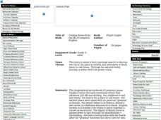
Coming Home from the life of Langston Hughes
In this Coming Home from the life of Langston Hughes worksheet, students read the book Coming Home from the life of Langston Hughes and answer short answer questions about it. Students complete 10 questions total.
Curated OER
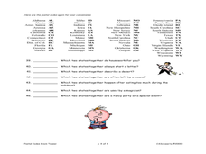
States Quizzes
In this state postal code worksheet, students respond to 45 fill in the blank questions that require them to use the listed state postal codes as answers.
Curated OER
Mexican Independence Day
Learners realize that countries have celebrations unique to them and demonstrate their understanding of the concept of tradition. They identify a family tradition that is important to each of them and demonstrate their understanding of...
Curated OER
Old Man River
Learners place the four reservoirs of the Kansas-Lower Republican Basin correctly on a map adding creeks and rivers flowing into them. Students explain uses for the reservoirs.
Curated OER
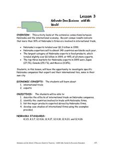
Nebraska Does Business with the World
Tenth graders examine the connections between Nebraska and the international economy. They identify the countries involved in trade with Nebraska firms and investigate specific Nebraska companies that export and their international ties.
Curated OER
What's Your Reference
For this reference material worksheet, young scholars choose the correct reference for each question given. Students discover the differences in the materials found in the dictionary, the almanac, the atlas, the newspaper, and the...
Curated OER
Subsidence/ Erosion
Students utilize prior knowledge about the Pontchartrain Basin. In this subsidence/erosion lesson, students study the chart on land subsidence and must them identify and find solution for problems caused by erosion.
InterKnowledge Corp.
Geographia: Mexico Introduction
Explore the magical world of Mexico. Learn about the history and culture of this diverse country as well as tour the country through pictures.
CRW Flags
Flags of the World: Hidalgo Mexico
This Flags of the World site offers a short description of Hidalgo with an image of the flag.
Other
Best Day: Attractions and Sightseeing in Mexico City, Mexico
Major attractions in Mexico City, with pictures and brief descriptions.
InterKnowledge Corp.
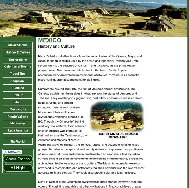
Mexico: History and Culture
A complete history (with several pictures) of Mexico, including its major wars.
Ducksters
Ducksters: United States Geography for Kids: New Mexico
Kids learn facts and geography about the state of New Mexico including symbols, flag, capital, bodies of water, industry, borders, population, fun facts, GDP, famous people, and major cities.
Mex Connect
Mex connect.com: Map of Michoacan
MexConnect offers a map of Michoacan that shows the locations of the major cities located within.
Geographic
Mexico (Maps)
Maps of Mexico, including one with major cities, and another with the Mexican states.
Encyclopedia of Earth
Encyclopedia of Earth: Rio Grande
Read here about the infamous Rio Grande Rivers. This article includes information regarding its history and various facts and figures about it including its agriculture, major cities, dams and other issues.
Curated OER
Etc: Maps Etc: Mexico, Central America and the West Indies, 1852
A map from 1852 of Mexico, Central America, and the West Indies. The map shows territorial boundaries at the time, including the Mexican States, capitals and major cities and ports, railroads, rivers, lakes, mountain systems, and terrain...
Curated OER
Educational Technology Clearinghouse: Maps Etc: Mexico, 1906
A map from 1906 of Mexico showing the states, major cities and towns, railroads, mountains, and coastal features. An inset map shows the City of Mexico and vicinity, including the lakes, railroads, mountains, and neighboring cities.
Curated OER
Educational Technology Clearinghouse: Maps Etc: Mexico, 1902
A map from 1902 of Mexico showing the states and state capitals, major cities and towns, trunk and secondary railroad lines, mountains, and coastal features. This map shows isotherms of mean annual temperature in degrees Fahrenheit, and...
Curated OER
Educational Technology Clearinghouse: Maps Etc: Mexico, 1904
A map from 1904 of Mexico showing the states, major cities and towns, railroads, mountains, and coastal features. An inset map shows the island of Cuba. "Mexico is divided into twenty-seven States with two Territories and the federal...
Curated OER
Educational Technology Clearinghouse: Maps Etc: Mexico, 1872
A map from 1872 of Mexico, showing states and state capitals, major cities, towns, and ports, railroads, lakes and rivers, mountain systems, terrain, and coastal features. Steamship routes to major ports are shown, with distances marked...
Curated OER
Educational Technology Clearinghouse: Maps Etc: Mexico, 1914
A map from 1914 of Mexico showing the states and state capitals, major cities and towns, railroads, mountains, rivers, lakes, and coastal features of the country. A grid-key in the margin references the locations of states and...

