Hi, what do you want to do?
NSTATE
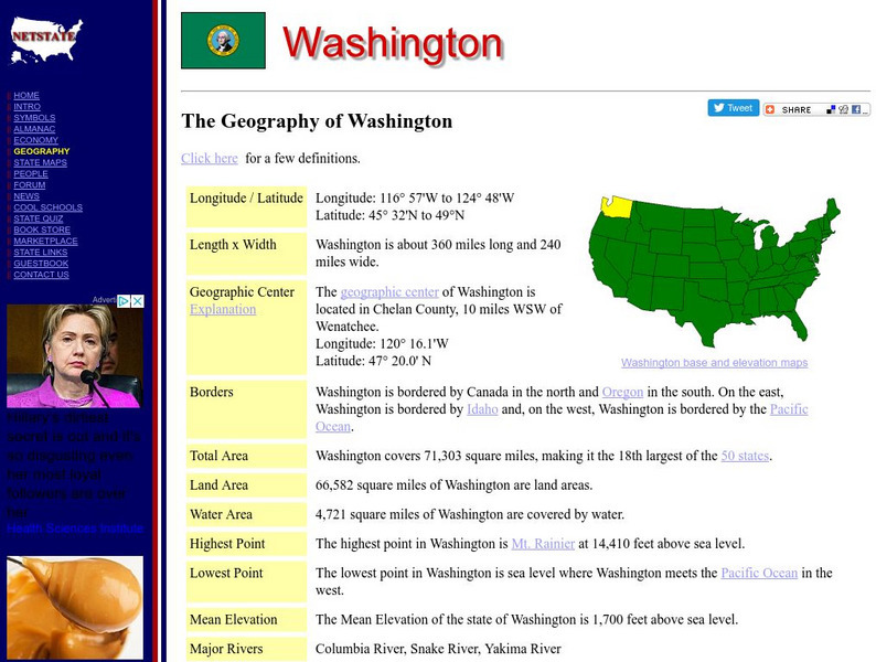
The Geography of Washington
Here you will find a variety of cool facts about the geography of the state of Washington. Find out the geographic center, total area, elevations and much more.
NSTATE
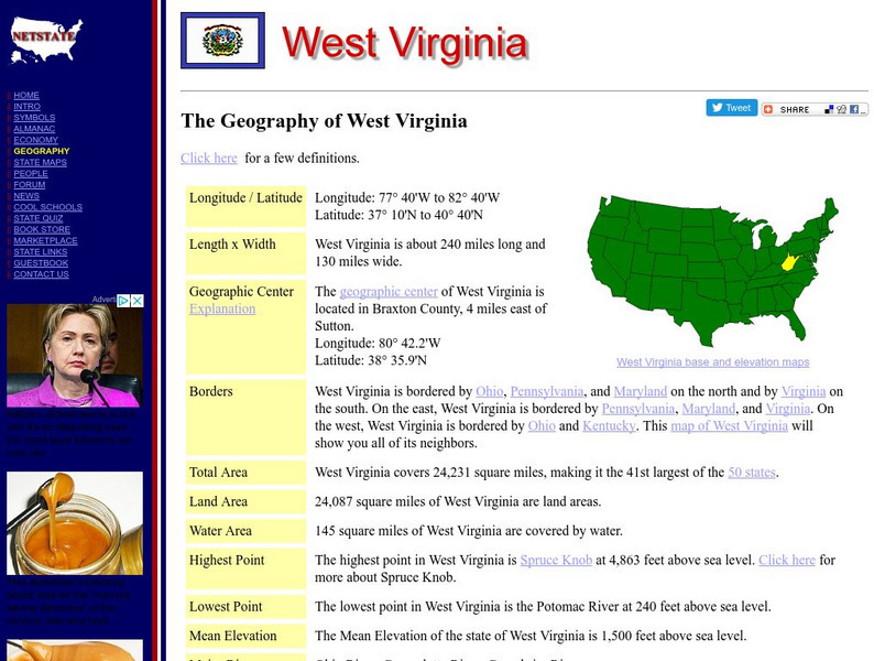
The Geography of West Virginia
Here you will find a variety of cool facts about the geography of the state of West Virginia. Find out the geographic center, total area, elevations and much more.
NSTATE
The Geography of Wisconsin
Here you will find a variety of cool facts about the geography of the state of Wisconsin. Find out the geographic center, total area, elevations and much more.
NSTATE
The Geography of Wyoming
Here you will find a variety of cool facts about the geography of the state of Wyoming. Find out the geographic center, total area, elevations and much more.
NSTATE
Net State: The Geography of Kansas
Here at NetState you will find a variety of cool facts about the geography of the state of Kansas. Find out the geographic center, total area, elevations and much more.
Latimer Clarke Corporation
Altapedia Online: World Map Resources
Features downloadable World Political and Physical Maps that include country names, country borders, ocean features, island names, and lat/long graticules. Clicking on any part of the map enlarges it.
NSTATE
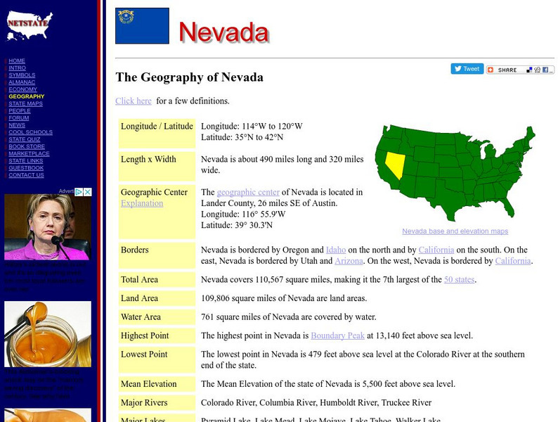
Net state.com: The Geography of Nevada
Here you will find a variety of facts about the geography of the state of Nevada. Find out the geographic center, total area, elevations and much more.
NSTATE
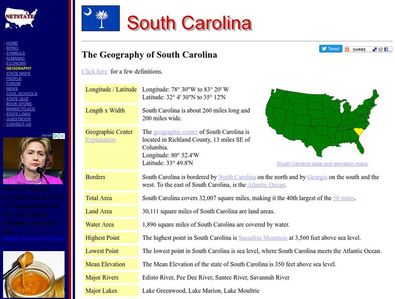
The Geography of South Carolina
Here you will find a variety of cool facts about the geography of the state of South Carolina. Find out the geographic center, total area, elevations and much more.
NSTATE
Netstate.com: The Geography of Arkansas
Quick facts about the geography of Arkansas including land area, highest and lowest points, elevations, lakes, rivers, regions, and climate.
NOAA
Noaa: Solar Calculators
This resource allows users to find sunset/sunrise calculations based on latitude and longitude for various locations. Provides a glossary of related terms and an explanation of their calculations.
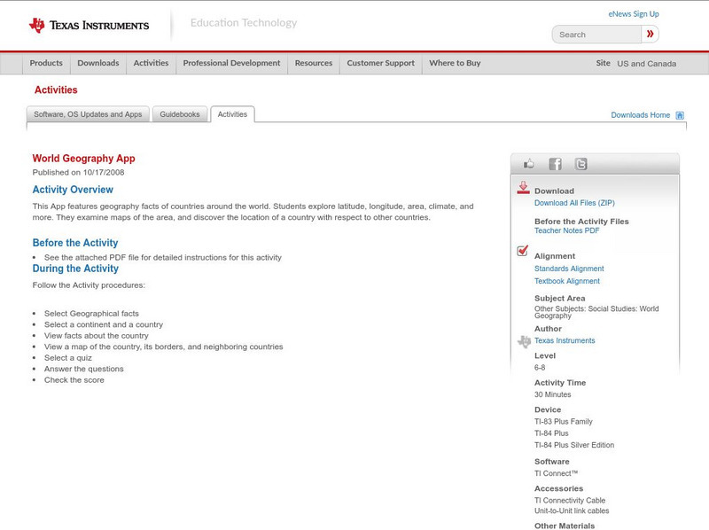
Texas Instruments
Texas Instruments: World Geography App
This classroom activity features geography facts of countries around the world. Students explore latitude, longitude, area, climate, and more. They examine maps of the area, and discover the location of a country with respect to other...
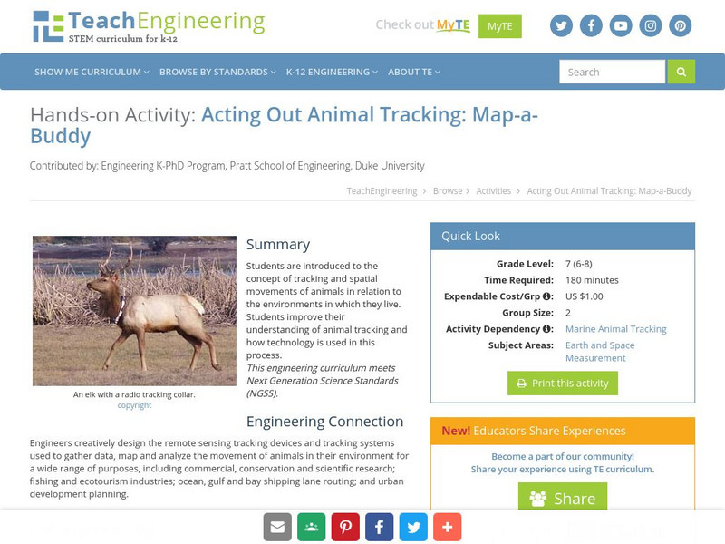
TeachEngineering
Teach Engineering: Map a Buddy
This activity serves to introduce the concept of tracking and spatial movements of animals in relation to the environment in which they live. The following activity will aid student understanding of animal tracking and how technology...
Curated OER
Etc: Maps Etc: United States Canal Zone Isthmus of Panama, 1912
A map from 1912 of the United States Canal Zone in Panama. The map shows the location of the canal, the deepened approaches to the canal, and the locks. The map also shows mountain ranges, railroads, projected railroads, post offices,...
CK-12 Foundation
Ck 12: Earth Science: Location on the Earth
[Free Registration/Login may be required to access all resource tools.] Using latitude and longitude to find a location.
Ohio Test Prep
Ohio Test Prep: Module 4: Geography Skills
Test preparation material for the Ohio tests in Social Studies provides video tutorials, practice interactives and assessment on geographic tools, latitude and longtitude, and regions.
Ducksters
Ducksters: Earth Science for Kids: Topography
Kids learn about the Earth science subject of topography including features such as landforms, elevation, latitude, longitude, and topographical maps.
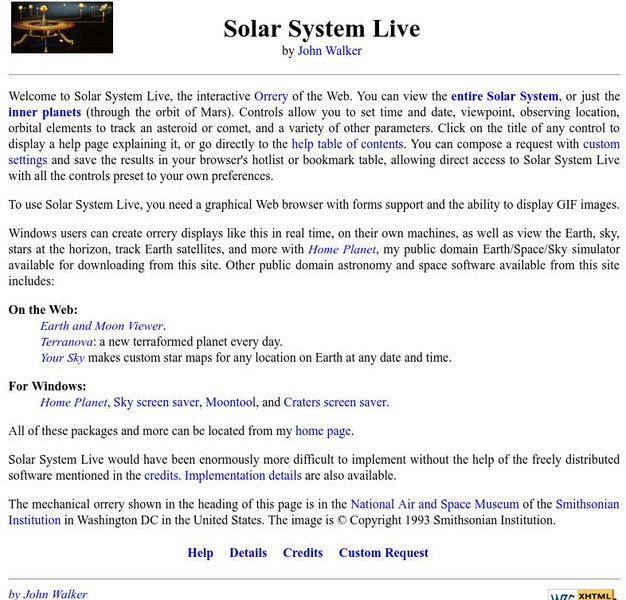
Fourmilab Switzerland
John Walker: Solar System Live
This planetarium program allows you to create an accurate model of the solar system with icons or pictures of each planet. You can specify a date in the past or the future, change the viewpoint to any latitude/longitude, and even view in...
University of Georgia
University of Georgia: Map of Southern States of America 1795
A large and detailed map of the southern U.S. States and territories to the immediate west. Indicates rivers, the Appalachian Mountains and latitude and longitude.
University of Hawai'i
The Hawai`i Space Grant Consortium: Lunar Images
Part of the Exploring Planets in the Classroom series, this site provides images of the Moon, with Latitude and Longitude reference lines.
ClassFlow
Class Flow: Major Topographical Features of the u.s.
[Free Registration/Login Required] In this flipchart students will locate major topographical features of the United States of America. Website links covering Identify rivers, mountain ranges, the equator, prime meridian, and lines of...
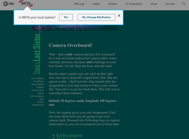
PBS
Pbs Teachers: Titanic's Lost Sister: Camera Overboard!
Learn about different diving equipment in order to determine which would be most useful in recovering a sunken object and exploring underwater. Find a location on a globe or map using latitude and longitude coordinates.
National Council of Teachers of Mathematics
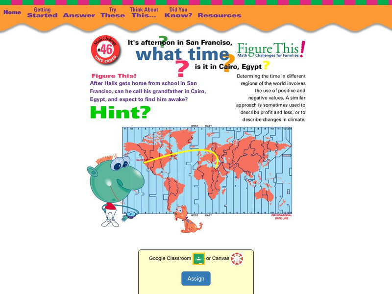
Nctm: Figure This: What Time Is It In?
Can you figure this? If it is afternoon in San Francisco, California, what time is it in Cairo, Egypt? Explore positive and negative number values in this one page activity using time zones from different parts of the world.
ClassFlow
Class Flow: Geographical Skills
[Free Registration/Login Required] In this lesson students understand how physical processes (weathering, erosion, climates, soils, and landforms) shape earth's surface patterns and systems.
NSTATE
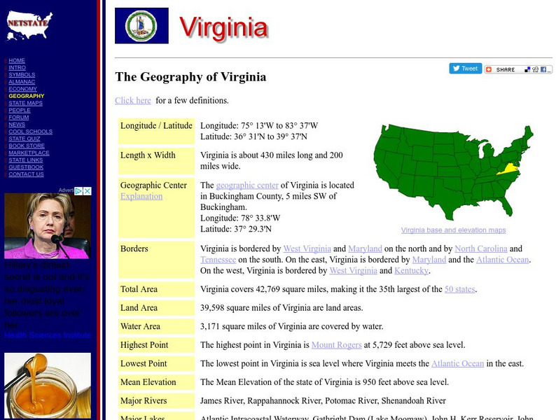
Netstate.com: The Geography of Virginia
Find a variety of facts about the geography of Virginia: geographic center, total area, elevations, and much more.
Other popular searches
- Latitude and Longitude
- Latitude and Longitude Games
- Latitude and Longitude Maps
- Longitude and Latitude Game
- Longitude and Latitude Math
- Longitude and Latitude Lines
- Longitude and Latitude Grid
- Gps Longitude and Latitude
- Map Longitude and Latitude
- Maps, Longitude and Latitude
- Gaps Longitude and Latitude
- Finding Latitude and Longitude


