Hi, what do you want to do?
TeachEngineering
Teach Engineering: Who Can Make the Best Coordinate System?
Students learn about coordinate systems in general by considering questions concerning what it is that the systems are expected do, and who decided how they look. They attempt to make their own coordinate systems using a common area...
TeachEngineering
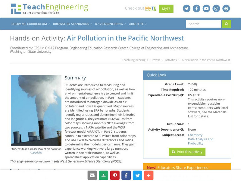
Teach Engineering: Air Pollution in the Pacific Northwest
Students are introduced to measuring and identifying sources of air pollution, as well as how environmental engineers try to control and limit the amount of air pollution. In Part 1, students are introduced to nitrogen dioxide as an air...
Curated OER
Etc: Maps Etc: West Indies and Central America, 1872
A map from 1872 of the West Indies and Central America. The map shows political boundaries at the time, capitals, major cities, and ports, railroads, main steamship routes, rivers, terrain and coastal features, and banks. The map shows...
Curated OER
Clip Art by Phillip Martin: Latitude and Longitude
A clipart illustration by Phillip Martin titled "Latitude and Longitude."
Texas Instruments
Texas Instruments: Math Today Dangerous Births
In this activity, using the USA TODAY Snapshot "Dangerous births" students will explore the geometric relationships of triangles using perpendicular bisectors of the sides, bisectors of the angles and medians of the triangle. They will...
Science Education Resource Center at Carleton College
Serc: Plotting Earthquakes With Near Real Time Data
This lesson teaches the concept of plate tectonics. Students will access the United States Geological Survey National Earthquake Information Center and plot the longitude latitude and depth of earthquakes on a physiographic chart.
Alabama Learning Exchange
Alex: Gps Scavenger Hunt
This lesson will provide 7th and 8th grade students the opportunity to utilize GPS Handheld Tracking Units in order to understand latitude and longitude. Students will work in groups of four to complete a scavenger hunt around the...
TeachEngineering
Teach Engineering: Sextant Solutions
The earliest explorers did not have computers or satellites to help them know their exact location. The most accurate tool developed was the sextant to determine latitude and longitude. In this activity, the sextant is introduced and...
Texas Instruments
Texas Instruments: Numb3 Rs: Traveling on Good Circles
Based off of the hit television show NUMB3RS, this high-level math lesson has students delve into the topic of Great Circles on a sphere (specifically, the Earth), in order to find the shortest distances between locations. Students will...
Enchanted Learning
Enchanted Learning: Types of Maps
Enchanted Learning provides an easy-to-understand explanation of projections. Site also provides a graph of related terms such as conic projection, cylindrical projection, Mercator projection, and more.
NSTATE
Net State: The Geography of North Carolina
Here at NetState you will find a variety of facts about the geography of the state of North Carolina. Find out the geographic center, total area, elevations and much more.
NSTATE
The Geography of Texas
Here you will find a variety of facts about the geography of the state of Texas. Find out the geographic center, total area, climate and much more.
NSTATE
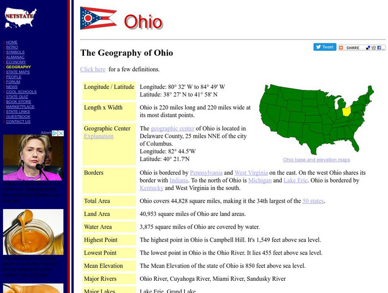
Net State: The Geography of Ohio
Here at NetState you will find a variety of facts about the geography of the state of Ohio. Find out the geographic center, total area, elevations and much more.
NSTATE
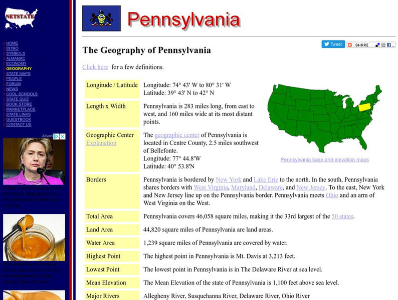
The Geography of Pennsylvania
Here you will find a variety of cool facts about the geography of the state of Pennsylvania. Find out the geographic center, total area, elevations and much more.
NSTATE
The Geography of California
Here you will find a variety of facts about the geography of the state of California. Find out the geographic center, total area, elevations and much more.
NSTATE
The Geography of Florida
Here you will find a variety of cool facts about the geography of the state of Florida. Find out the geographic center, total area, elevations and much more.
NSTATE
The Geography of Alabama
Get the facts about the geography of the state of Alabama from its geographic center to its total area, to elevations and much more.
NSTATE
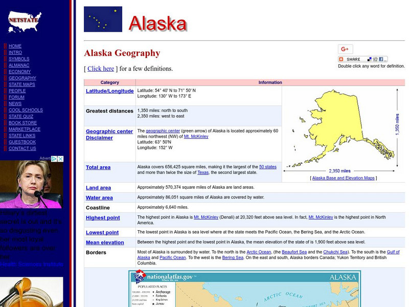
The Geography of Alaska
Netstate provides facts about the geography of the state of Alaska such as its geographic center, total area, elevations and much more.
NSTATE
Net State: The Geography of Arizona
NetState provides a variety of facts about the geography of the state of Arizona. Find out the geographic center, total area, elevations and much more.
NSTATE
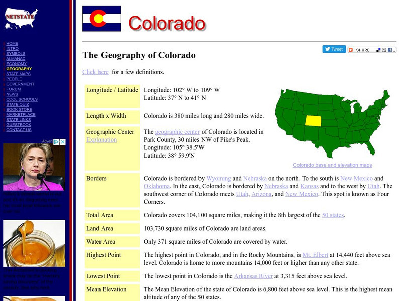
The Geography of Colorado
Netstate provides a variety of facts about the geography of the state of Colorado. Find out the geographic center, total area, elevations, and much more.
NSTATE
The Geography of Connecticut
Netstate provides a variety of cool facts about the geography of the state of Connecticut. Find out the geographic center, total area, elevations and much more.
NSTATE
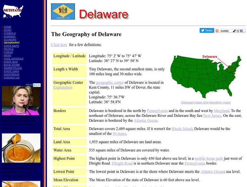
The Geography of Delaware
Netstate provides a variety of facts about the geography of the state of Delaware. Find out the geographic center, total area, elevations and much more.
NSTATE
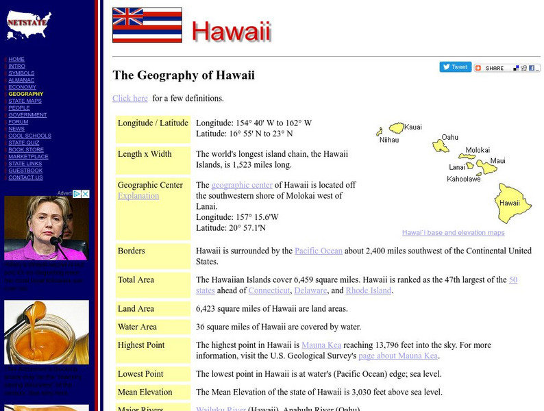
Nstate, Llc.: The Geography of Hawaii
NSTATE, LLC. provides a variety of facts about the geography of the state of Hawaii. Find out the geographic center, total area, elevations and much more.
NSTATE
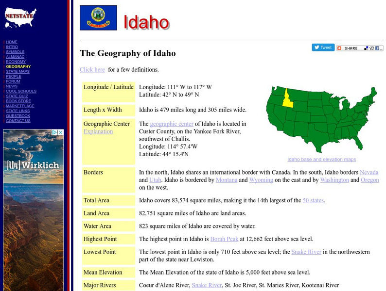
Net State: The Geography of Idaho
Here, at NetState, you will find a variety of cool facts about the geography of the state of Idaho. Find out the geographic center, total area, elevations and much more.
Other popular searches
- Latitude and Longitude
- Latitude and Longitude Games
- Latitude and Longitude Maps
- Longitude and Latitude Game
- Longitude and Latitude Math
- Longitude and Latitude Lines
- Longitude and Latitude Grid
- Gps Longitude and Latitude
- Map Longitude and Latitude
- Maps, Longitude and Latitude
- Gaps Longitude and Latitude
- Finding Latitude and Longitude


