Curated OER
Egyptian Profile Portraits
Second graders design Egyptian style portraits. They use the correct proportions while drawing and painting the facial features.
Curated OER
Wisconsin History and Information
Fourth graders complete a multi-faceted project about the people, places, and government of Wisconsin. Working with traditional and technological resources, they research various topics related to the history of Wisconsin and create a...
Curated OER
Owning a Pet
Fourth graders identify and use different forms of writing for various purposes. Using the internet, they read and gather information and write quesitons for their own investigations on the various pets they could own. They practice...
Curated OER
The Fine Art of Paper-Cutting
Learners create original examples of the ancient Chinese Folk Art technique of Paper-Cutting in this middle-level instructional activity highly adaptable for either the Art classroom or a Social Studies class.
Curated OER
Nebraska: Using Pictures
Learners create a scrapbook about Nebraska history focusing on Post Office murals. They choose their favorite murals and write a story to go along with the mural. In groups, students present their murals to the class and visit the...
Curated OER
Scientists and Statesmen in Early America
Explore the historic and cultural context of the foundations of the United States of America. They identify the political and scientific contributions of early American scientists.
Curated OER
Chemical Changes by Gems
Seventh graders observe that heat is produced when two substances are combined. They brainstorm how, and then experiment to find out which of two chemicals created the heat.
PBS
Pbs Learning Media: Earth's Systems: Map It
Explore different types of maps and how different things are represented on maps in this media gallery from WGBH. Maps are used to help locate different places and different things. Map symbols are representations of larger things in the...
National Geographic
National Geographic: Places in the Park
Modeling the use of maps in and out of school can help learners to recognize the value of maps and gain confidence with them. Using maps of places that are familiar to students will strengthen their spatial thinking skills before...
Annenberg Foundation
Annenberg Learner: China Through Mapping
In this lesson, Mimi Norton integrates world geography with the study of Chinese culture and history by engaging her young students in a variety of activities to locate natural and human-made landmarks on maps of China. To build...
HotChalk
Hot Chalk: Lesson Plans Page: Find Captain Hook's Treasure
Lesson that helps students understand maps, map directions, and map symbols. Students use teacher-created maps to locate numbered keys on the playground.
Other
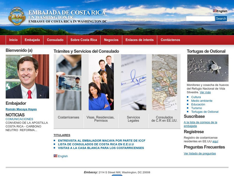
Embassy of Costa Rica in Washington, d.c.
The home of the official website of the Embassy of Costa Rica is full of excellent information about the government, geography, economy, culture, tourism, national symbols, and environment of this beautiful country. Includes photos and a...
New York Times
New York Times: The Roanoke Island Colony: Lost, and Found?
[Free Registration/Login Required] The mystery of what happened to the Lost Colony of Roanoke has gripped imaginations for centuries. Now archaeology may be able to provide answers before long. This article describes the history of the...
Geographyiq
Geography Iq
Detailed geographical information on any country is available at this site. Within the World Map section, you can get facts and figures about each country's geography, demographics, government, political system, flags, historical and...
Adventure Learning Foundation
Adventure Learning Foundation: Chile Expedition
Thorough, informative site about the country of Chile. Besides factual information, this location also features a journal and photographs of the "World of Wonders" expedition.
Adventure Learning Foundation
Adventure Learning Foundation: Argentina Expedition
Thorough, informative site about the country of Argentina. Besides factual information, this location also features a journal and photographs of the "World of Wonders" expedition.
Curated OER
Etc: Plan of the Parliament House, Budapest, 1885 1902
This is a plan of the Parliament House in Budapest, Hungary. It is an example of Modern Architecture. Construction lasted from 1885 to 1902. The Parliament House is located on Pest's Riverbank. The building is a symbol of Hungary's...


