Hi, what do you want to do?






NOAA
Noaa: Pacific Marine Environmental Laboratory: North Pacific Ocean
This site shows a map of the North Pacific Ocean and the surrounding seas. You can study the islands, or the ocean currents in detail.
Missouri Botanical Garden
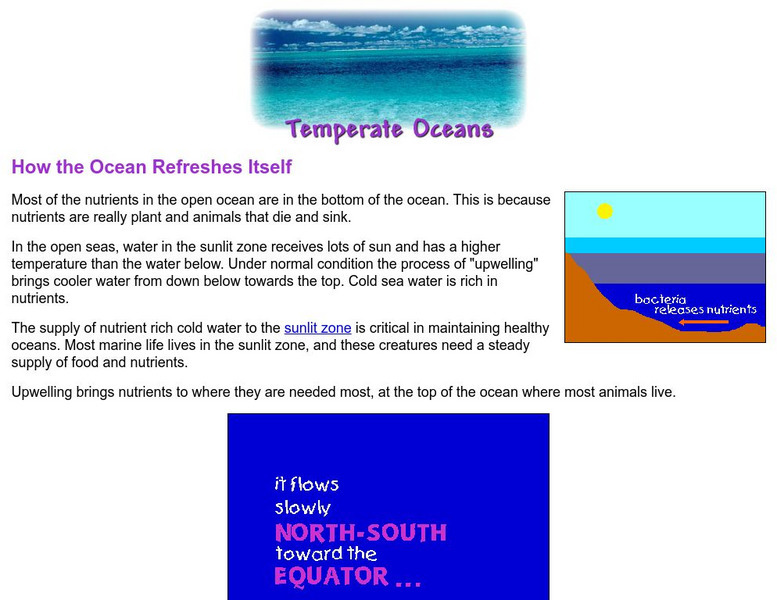
Missouri Botanical Garden: How the Ocean Refreshes Itself
Watch the animated illustrations to see how the nutrients at the bottom of the ocean get circulated to the top. This upwelling is necessary in order to maintain a healthy ocean.
National Library of France
National Library of France: The Unknown Sea
An image-rich exposition of visual art that takes the sea as its a theme. Mythology, fantasy, mapmaking, and the history of sailing and marine exploration are all investigated as are fears about the ocean's power, puzzling beliefs about...
Woods Hole Oceanographic Institution
Woods Hole Oceanography Institute: Adaptations to Light
View several pictures of ocean life through the eyes of scientists and staff at Woods Hole Oceanography Institute. This particular slideshow highlights how ocean creatures change their colors in order to either hide from or frighten...
NOAA
Noaa: Photo Library: Cordell Tornado, Photo #1
The National Oceanic and Atmospheric Administration provides a photo library of severe weather formations. This photograph is of a tornado in the process of dying, captured in Cordell, Oklahoma on May 22, 1981.
Sophia Learning
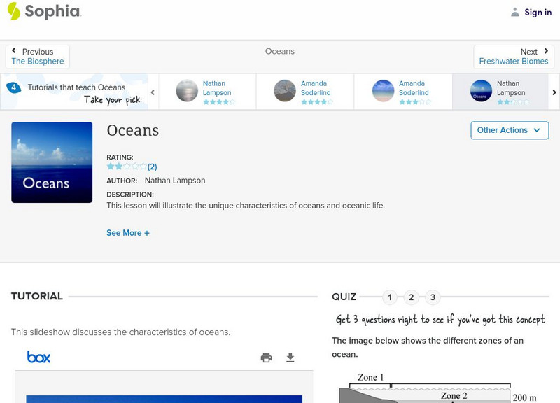
Sophia: Oceans: Lesson 1
This lesson will illustrate the unique characteristics of oceans and oceanic life. It is 1 of 4 in the series titled "Oceans."
Sophia Learning
Sophia: Oceans: Lesson 2
This lesson will illustrate the unique characteristics of oceans and oceanic life. It is 2 of 4 in the series titled "Oceans."
PBS
Pbs Learning Media: Allopatric Speciation
These images from the Smithsonian Institution depict Nancy Knowlton's work with snapping shrimp in Panama. Knowlton found that the closing of the isthmus -- dividing the Pacific Ocean from the Caribbean -- resulted in new species of shrimp.
Curated OER
Unesco: Palau: Rock Islands Southern Lagoon
Rock Islands Southern Lagoon covers 100,200 ha and includes 445 uninhabited limestone islands of volcanic origin. Many of them display unique mushroom-like shapes in turquoise lagoons surrounded by coral reefs. The aesthetic beauty of...
Curated OER
Unesco: United States of America: Redwood National and State Parks
Redwood National Park comprises a region of coastal mountains bordering the Pacific Ocean north of San Francisco. It is covered with a magnificent forest of coastal redwood trees, the tallest and most impressive trees in the world. The...
Curated OER
Unesco: Spain: Ibiza, Biodiversity and Culture
Ibiza provides an excellent example of the interaction between the marine and coastal ecosystems. The dense prairies of oceanic Posidonia (seagrass), an important endemic species found only in the Mediterranean basin, contain and support...
Curated OER
Educational Technology Clearinghouse: Clip Art Etc: Abraham Whipple
Abraham Whipple (26 September 1733 - 27 May 1819) was an American revolutionary naval commander. Whipple was born near Providence, Rhode Island and chose to be a seafarer early in his life. He embarked upon a career in the lucrative West...
Curated OER
Etc: Alaska Boundary Controversy, 1867 1903
A map of southeastern border of Alaska and Canada showing the area of boundary dispute and the boundary established by the Hay-Herbert Treaty between Britain and the United States in 1903. The map shows the coastline and fjords of the...
Curated OER
Educational Technology Clearinghouse: Maps Etc: Hay Herbert Treaty, 1903
A map of the southern border of Alaska and Canada showing the area of boundary dispute and the boundary established by the Hay-Herbert Treaty between Britain and the United States in 1903. The map shows the coastline and fjords of the...
NOAA
Noaa: Photo Library: Cordell Tornado, Photo #3
The National Oceanic and Atmospheric Administration provides a photo library of severe weather formations. This photograph is of a tornado in its "Rope" stage, captured in Cordell, Oklahoma on May 22, 1981.