Curated OER
Spring, Summer, Fall, Winter
In this seasons worksheet, students cut out the picture cards at the bottom of the page, sort the pictures and paste them with the matching season.
Curated OER
What Is A Map?
Students become familiar with a map and what it is used for and become familiar with school and home surroundings. With the familiarity of their surroundings they discover that maps can be created to help them with directions and how to...
Curated OER
Ocean Currents
Students examine ocean currents. In this investigative lesson plan, students examine ocean currents and the relationship between the ocean, our atmosphere, and the weather. They will create a model of an ocean current.
Curated OER
Selecting a State Fish
Students work in groups to select a state fish for their state. They review reference materials to make a list of state characteristics and select a fish that best exemplifies the state.
Curated OER
Factors That Affect Climate
Fifth graders use captured portions of the Internet ("mininets") to perform research into climate. They create graphs of the data recorded using latitude as the independent variable and temperature as the dependent variable.
Curated OER
Rosie's Walk
Students use maps and globes to locate and describe locations, directions and scale. Using the maps, they identify man made or natural features of different environments. They practice using geographical terms to describe a specific...
Curated OER
Australia: the Land Down Under
Students give a solid history and geographic explanation of the country of Australia and explain why it is important. They use some creativity in designing their own island, by using the physical features of this particular country.
Curated OER
Ocean Color
Students examine NASA's SeaWiFS Project Web site to explore how the SeaWiFS Project monitors environmental and climatic changes in the oceans and atmosphere. They answer questions and write a summary in support of continued funding for...
Curated OER
Landform Bingo
Students review landform terms and review fact and opinion. They make fact and opinion statements and play landform BINGO.
Curated OER
Mapping La Salle's Travels
Students use the internet to create a map showing the path of La Salle through North America and the Caribbean. They identify the main geographic features of the two areas and the main French forts. They also complete a timeline.
Curated OER
Metropolitan Areas in the USA
Fifth graders explore why people live in certain regions of the United States. They investigate information on specific metropolitan areas such as temperature, population, natural resources, precipitation and landforms. In groups, 5th...
Curated OER
Northern Neighbors
Fourth graders research a province in Canada in order to compare and contrast Canada to our country. They create a HyperStudio production to display their findings.
Curated OER
Texas Week
Students explore Texas in the past and present. They pick out cities on a map and find information and analyze an Internet site.
Curated OER
IDP Introduction
Fourth graders examine the three regions of North Carolina through class discussion of favorite places in the state and a review game based on the game of twister. The different colors on the twister sheet represent the different...
Curated OER
Name That Place: Cultural Place Names in the United States
Students examine the origin of the people that settled in the United States. In this United States History lesson, students work in small groups to complete several activities that explore early settlement, such as a worksheet, a...
Curated OER
"Tri-County" Project--Ground Water
Students explore data on some of the landforms in Nebraska to distinguish between porous and nonpremeable soils. The state's groundwater is investigated.
Curated OER
Deforestation
Pupils identify the different tropical rainforests in the world using a map. In this ecology lesson, students describe the different methods of deforestation. They create a memo and present it to class.
Curated OER
The Living Earth-Glaciers
Students investigate glaciers. In this earth science lesson, students use sandy ice cubes to observe how glaciers change the land. Students list forces that cause changes in the Earth's surface.
PBS
Pbs Learning Media: Earth's Systems Collection: Bringing the Universe to America's Classroom
Explore different landforms and bodies of water around the world, observe and map landforms and water features, and practice observation and analysis skills through a virtual landscape and animated adventure in Plum's Island Explorer....
PBS
Pbs Learning Media: Mapping Landforms and Water Bodies: Lesson Plan
Learn about different landforms and water bodies and the various characteristics that make them distinct from one another in this lesson plan from WGBH. Navigate around a virtual island to unlock information -- including videos and...
Gulf of Maine Research Institute
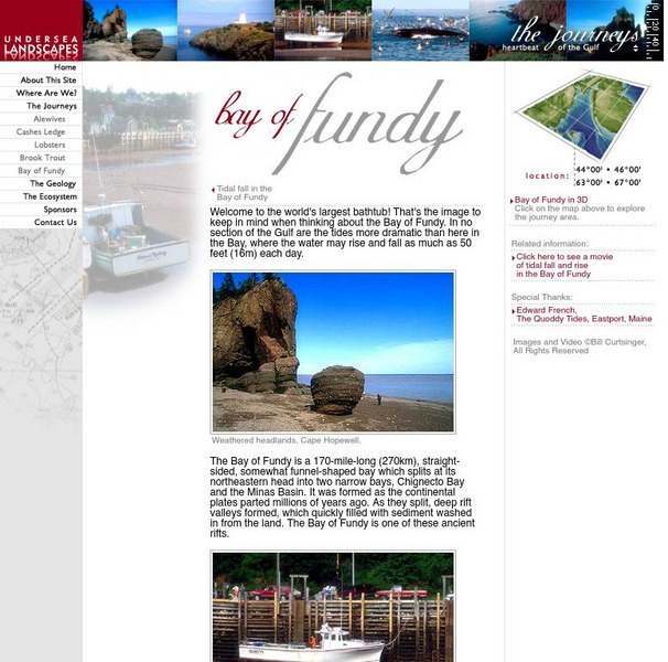
Gulf of Maine Research Institute: Undersea Landscapes: Bay of Fundy
Use this site to learn more about bays by discovering the Bay of Fundy. Read about this interesting place and view pictures of this beautiful bay.
PBS
Pbs Learning Media: Plum's Island Explorer: Land and Water
Navigate around the island to explore various landforms and water bodies in this interactive game from PLUM LANDING. Journey around the island and pick up trash to unlock information - including videos and ground-level and aerial images...
Better Lesson
Better Lesson: Making a Landform Model
In the NGSS, one of the performance expectations is for the children to develop a model to represent the shapes and kinds of land and bodies of water in an area. In the science practices, the children also must develop and use models....
Other
Bscs: Earth's Changing Surface Lesson 1: Our Land
This hands-on lesson focuses on the land and its many different types of landforms and bodies of water. Included are a minute-by-minute lesson plan, activities, and teacher discussion points and questions.


