Hi, what do you want to do?
PBS
Pbs Learning Media: Atchafalaya Bay Deltas
The Mississippi Delta is disappearing because of rising sea levels and the construction of levees, yet the deltas in the Atchafalaya Bay are growing. View this video from NASA showing images collected over 31 years showing the growth of...
Smithsonian Institution
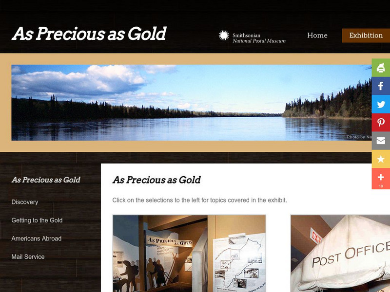
National Postal Museum: As Precious as Gold
"As Precious as Gold," is an online exhibit from the National Postal Museum which explores the rich history of the Alaskan/Klondike gold rushes. Find stories on extraordinary women, the trails, the Palm Sunday avalanche, the U.S. Postal...
Center for Innovation in Engineering and Science Education, Stevens Institute of Technology
Ciese Collaborative Projects: The Global Water Sampling Project
By testing your local water quality, you will be able to compare your results with students around the world. Register your class, and follow the project instructions. Additional teacher resources, references, and Ask-an-Expert sources...
TeachEngineering
Teach Engineering: All About Water!
Learners learn about the differences between types of water (surface and ground), as well as the differences between streams, rivers and lakes. Then, they learn about dissolved organic matter (DOM), and the role it plays in identifying...
TeachEngineering
Teach Engineering: Would You Drink That?
This activity focuses on getting students to think about bacteria, water quality and water treatment processes. Students develop and test their hypotheses about the "cleanliness" of three water samples prepared by the teacher. Then they...
The History Place
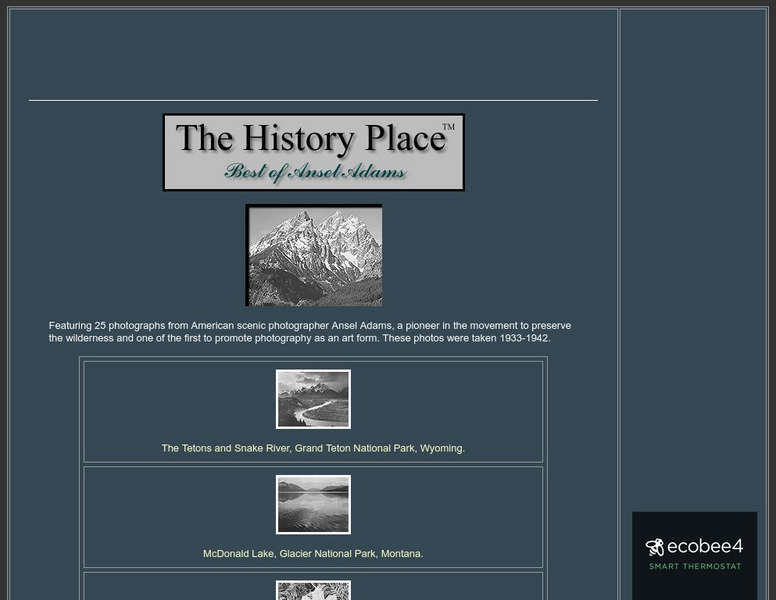
The History Place: Best of Ansel Adams
Here at "The History Place" is an online exhibit of 25 black and white photographs by Ansel Adams. A very interesting place to view his best work, and worth checking out.
BiologyWise
Biology Wise: Freshwater Biome Plants
Brief overview of types of freshwater biomes and the plants that live in them, as well as adaptations that plants have made in order to survive there.
Curated OER
Mountains, Plains, Rivers, Isothermal Lines of the United States, 1873
A map from 1873 of the United States showing the physical features of mountain systems, plateaus, basins, plains, rivers, lakes, and coastal features, with elevations given for prominent peaks given in feet above sea level. The map is...
Curated OER
Etc: Maps Etc: Native Territories and European Possessions in Africa, 1876
A map of Africa in 1876 showing native African States and European possessions of Britain, France, Spain and Portugal prior to the Berlin Conference of 1885. On this map, European possessions include Algeria, Cape Colony, Griquala Land...
NASA
Nasa: World Map Puzzle
This site from the National Aeornautics and Space Administration provides an interesting activity with a relief map and its correlation with space. "Wouldn't it be fun to make your own miniature world, complete with mountains, valleys,...
Curated OER
Etc: Maps Etc: Meanders in the Mississippi River, 1916
A map from 1916 of the vicinity of Vicksburg showing typical river meandering of the Mississippi River, including remnant river beds and oxbow lakes (Eagle Lake).
Curated OER
Etc: Maps Etc: The Lake Region of North America, 1911
A map from 1911 showing the lake region of the Laurentian Plateau and adjacent areas, primarily north of the International boundary in the region known as the Canadian Shield. Only the principal lakes are shown. As indicated in the text,...
Curated OER
Etc: Champlain and Mohawk Frontiers, 1609 1763
A map of the Lake Champlain region and Mohawk frontiers during the period between the battle of Samuel Champlain against the Iroquois in 1609 near Crown Point and Ticonderoga, and the end of the French and Indian War in 1763. The map...
Curated OER
Etc: Niagara River During the War of 1812, 1812 1814
A map of the Niagara River between Lake Erie and Lake Ontario during the War of 1812 (1812-1815), showing the forts Erie, George, and Niagara, and the towns and battle sites of Lewiston, Queenstown, Lundy's Lane, Chippewa, and Buffalo.
Curated OER
Educational Technology Clearinghouse: Maps Etc: Lake Titicaca, 1889
A map of Lake Titicaca from 1889 during the French scientific explorations, showing Charles Weiner's route in the region from 1875 to 1877. This map shows rivers draining into the lake, nearby villages, and archeological sites of the area.
Curated OER
Etc: Maps Etc: Lake Champlain and Lake George, 1919
A road map of New York in the vicinity of Lake Champlain and Lake George from the Official Automobile Blue Book (1919), showing county lines, principal cities and towns, rivers, and is keyed to show the best auto routes, other auto...
Curated OER
Educational Technology Clearinghouse: Maps Etc: Great Lakes Region, 1906
A map from 1906 of the Great Lakes Region, showing major cities and ports, canals (including the Erie Canal), rivers, and steamship routes across the lakes, including routes of the St. Lawrence and Lake Champlain.
Curated OER
Educational Technology Clearinghouse: Maps Etc: Illinois River System, 1916
A map from 1916 of the Illinois River drainage basin showing the primary and secondary tributaries from Lake Michigan to the Mississippi River.
Curated OER
Educational Technology Clearinghouse: Maps Etc: Western Part of Lake Erie, 1812
A map of western Lake Erie and Lake St. Claire showing important sites during the War of 1812, including the battleground on the River Thames, Detroit, Brownstown, Fort Malden, Frenchtown, Fort Meigs, and Fort Lower Sandusky (Fort...
Curated OER
Educational Technology Clearinghouse: Maps Etc: The Lake of Mexico, 1722
A map from the book 'Voyages de Francois Coreal aux Indes Occidentales’ (Amsterdam, 1722) showing the environs of the Lake of Mexico (Lake Texcoco or Lago Texcoco, sometimes called Tezcuco), including islands and causeways, marshlands,...
Curated OER
Educational Technology Clearinghouse: Maps Etc: The Lake Victoria Region, 1920
A map of the region around Lake Victoria, or Victoria Nyanza, in 1920, showing the northern portion of German East Africa, the eastern portion of Belgian Congo, and all of British East Africa including the Uganda Protectorate. The map...
Curated OER
Etc: Maps Etc: The Mississippi River Route of Hennepin, 1697
A facsimile of a portion of the map created in 1697 describing the exploration and discoveries of Father Louis Hennepin in New France and Along the Mississippi. The map shows the region from the Great Lakes to the Gulf of Mexico along...
Curated OER
Etc: Maps Etc: The Pyramids and the Lake of Inundations, About 2100 Bc
A detail map of the portion of the Nile River near Memphis and Heracleopolis with its numerous pyramids and the Lake of Inundations during the twelfth dynasty, about 2100 BC. The map shows important historical cities and sites of the...


