Science Education Resource Center at Carleton College
Serc: Investigate Topography Caused by Glacial Lake Agassiz & Glacial Riv Warren
In this field investigation young scholars will travel to Bonanza Educational center located on Big Stone Lake. The students will hike up the prairie where they will sit and sketch the topography of the land. The young scholars will then...
Nature Conservancy
Nature Conservancy: Planet Earth: Rivers and Lakes
A comprehensive exploration of rivers and lakes, their importance to biodiversity and to humans, how we use them, threats they face, and what is being done to conserve them.
PBS
Pbs: River Rewilding: Grand River Restoration and Revitalization Project
A unit for students to look at the economic opportunities associated with a river. Students will explore the Grand River Revitalization & Restoration Project. In this unit, they will also learn about two species impacted by the...
British Library
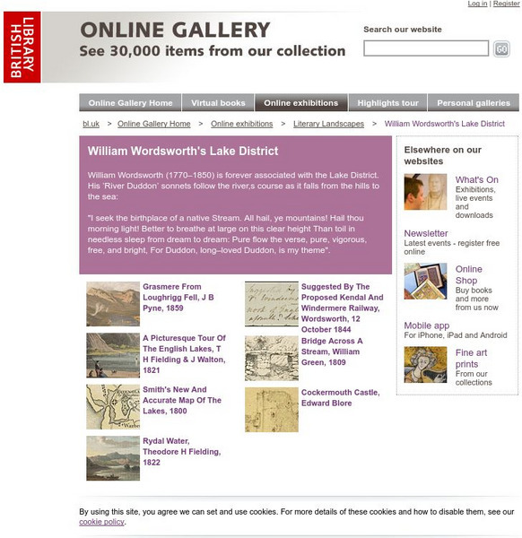
British Library: William Wordsworth's Lake District
Scroll through the images to view William Wordsworth's Lake District. Click on a sketch for further information and to explore the image.
United Nations
United Nations: Cartographic Section: Great Lakes Region (Map 1) [Pdf]
The United Nations offers this very clear map of part of the Great Lakes region in eastern Africa. The lakes, of course, are labeled, as are the rivers, major cities, and countries.
United Nations
United Nations: Cartographic Section: Great Lakes Region (Map 2) [Pdf]
This map of the Great Lakes region in Africa from the United Nations shows the large lakes, the countries the lakes touch, and rivers that flow into and out of the lakes.
Other
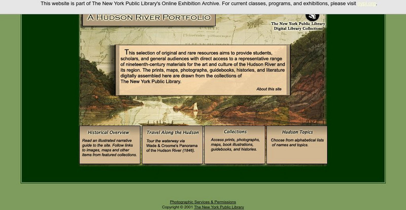
New York Public Library: A Hudson River Portfolio
Learn about the Hudson River and the role it played in the westward and northward expansion of America (to the Great Lakes regions and to Canada) in the nineteenth century. Useful for understanding the importance of rivers as means of...
Other
Catawba Riverkeeper: Threats to Our Lake and Water
The most common problem on the Catawba River and its lakes is sedimentation. Sediment carried by stormwater runoff from construction sites in North Carolina has been documented as the leading source of non-point source pollution to...
Missouri Botanical Garden
Missouri Botanical Garden: Freshwater Ecosystems
At this site from the Missouri Botanical Garden, you can learn about the wide variety of plant and animal life in or around fresh water ecosystems. Click on the links to "wetlands," "Ponds and Lakes," or "Rivers and Streams" to view...
Other
Wildlands League
Wildlands League is a registered charity in Ontario, and a chapter of the Canadian Parks and Wilderness Society (CPAWS). It aims to preserve wilderness areas and the biological diversity of lakes, forests, rivers, grasslands and...
Other
Minnesota Lakes, Rivers and Streams
This site gives information about Minnesota rivers and streams, stream flow information, and recreational information as well.
Polk Brothers Foundation Center for Urban Education at DePaul University
De Paul University: Center for Urban Education: Reversing the Chicago River [Pdf]
"Reversing the Chicago River" is a one page, nonfiction passage about how the leaders of Chicago reversed the polluted Chicago River so that it emptied into the Mississippi River instead of the lake. It is followed by questions which...
Other
International Journal of Wilderness: Don Aragon: Wind River Indian Tribes [Pdf]
A comprehensive article honing in on concerns for federal wilderness protection by learning from indigenous peoples, specifically the Eastern Shoshone and Northern Arapaho Indians in Fort Washakie, Wyoming.
Other
Alberta Riparian Habitat Management: Protecting Shorelines & Streambanks [Pdf]
Protecting Shorelines & Streambanks - Naturally explains the critical importance of healthy shorelines for preventing soil erosion and filtering out pollutants. It looks specifically at riparian areas, such as those in Alberta, which...
Other
Didactalia: Costas De Frica Rivers and Lakes of Africa
Can you name the elements of the African coast? Choose the answer from the list of the drop down menu in this interactive map. You result will be given at the end.
Other
Chebucto: Soil & Water Conservation Society of Halifax
This site provides statistical information about rivers all around the world. Stats include mean discharge, drainage area, and length.
Curated OER
University of Texas: Uganda: Relief Map
A relief map of Uganda showing the terrain of the country, but particularly showing the rivers that crisscross the country and drain into the lakes bordering the country. From the Perry Castaneda Collection.
Curated OER
University of Texas: Tanzania: Relief Map
A relief map of Tanzania showing its many lakes, rivers, and Mount Kilimanjaro. From the Perry-Castaneda Collection.
Curated OER
University of Texas: Central Africa: Relief Map
A good relief map of the countries of Central Africa showing mountains, lakes, and valleys. Clicking on the map will enlarge it. From the Perry Castaneda Collection.
Other
Pollution Probe: Mercury in the Environment [Pdf]
High levels of mercury exposure can cause birth defects, permanent brain or kidney damage, and/or death. This resource focuses on the impacts of mercury in the environment. Learn how mercury can reap havoc on lakes and other aquatic...
Virtual Museum of Canada
Virtual Museum of Canada: The Commissariat 3 D Reconstruction Project: Ottawa's Rideau Canal
Following the War of 1812, Canada realized it needed to find a water route between Montreal and the Great Lakes that was safer than using the St. Lawrence River. As a result, Ottawa's Rideau Canal and its 47 lock system were developed....
Curated OER
University of Texas: Democratic Republic of the Congo: Relief Map
An interesting map showing the relief of Democratic Republic of the Congo. See the highlands, lowlands, and rivers that cross this country. From the Perry Castaneda Collection.
Curated OER
Etc: Maps Etc: Lake District and Isle of Man, 1908
A detailed travel map of western England around the Lake District and the Isle of Man from 1908, showing portions Westmoreland and Lancashire counties. The map shows first class and secondary roads, railways, cities, towns, coastal and...
Curated OER
Etc: Maps Etc: Meanders in the Mississippi River, 1916
A map from 1916 of the vicinity of Vicksburg showing typical river meandering of the Mississippi River, including remnant river beds and oxbow lakes (Eagle Lake).
Other popular searches
- Rivers and Lakes
- About Rivers and Lakes
- Rivers and Lakes Geography
- Rivers Lakes Streams
- Rivers, Lakes, Streams
- Usa Lakes and Rivers


