Curated OER
Louisiana Purchase
Students use maps, lecture and discussion to explore the unique contributions to the U.S. resulting from the purchase of the Louisiana Territory. They complete worksheets, label maps and participate in discussion groups.
Curated OER
This Land is Your Land? This Land is My Land!
Students research the various territory acquisitions in United States history and create an annotated map that tells the history of U.S. expansion. Working in small groups, students outline the land acquisitions and purchases made by...
Curated OER
Weather
Fourth graders study a map and locate cities, read information and create a chart. In this weather lesson students place appropriate weather information on a map and write a script using their information to relay the weather to...
Curated OER
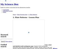
Plate Patterns
Students review the patterns they discovered from a previous activity. In this investigative lesson plan students plot data as a class and color a map.
Curated OER
Shopping for Souvenirs In the Middle East
Students participate in a role play in which they are shopping for souvenirs in the Middle East. Using maps, they locate the Middle East and identify each country within the region. They create a key map for the types of souvenirs that...
Curated OER
Virginia: The Land and its First Inhabitants
Young scholars review the five geographical regions of the state of Virginia. Using a map, they locate and label Virginia, surrounding states and the crops grown in the area. They present their map to the class and complete a worksheet...
Curated OER
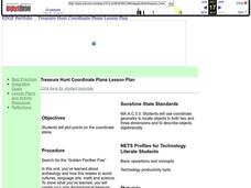
Coordinate Plane Treasure Hunt
Students create a treasure map by plotting points on a coordinate plane using a computer drawing program. Students name and identify different landmasses and structures on their map. They create instructions to find the treasure that...
Curated OER
Geographical Background on the Valley of Virginia
In this social studies worksheet, students learn the geography of the Valley of Virginia (Shenandoah Valley) by reading the information and using the word bank of place names to label a detailed map.
Curated OER
All Things Chinese-- Building a Classroom Museum
Students explore China. For this introduction to Chinese culture lesson, students bring in items or pictures from home that represent Chinese culture. Students create a "Chinese museum" by putting these labeled items on display,...
Curated OER
Where Do Hurricanes Happen?
In this hurricanes worksheet, learners label the 6 different regions that hurricanes and tropical cyclones occur around the world.
Curated OER
Where In the World Are We?
Fifth graders read postcards and find their locations on maps. They use the pictures and text on the postcards to write about imaginary vacations. They compute the mileage and compare it to TripMaker data.
Curated OER
Outlandish Landforms
Seventh graders examine landforms. In this world Geography lesson plan, 7th graders research and create a physical model of a chosen landform. They then draw a 2-d paper map of that model.
Curated OER
PLATE MOVEMENTS AND CLIMATE CHANGE
Young scholars label three geological maps with continents provided to analyze the relationships between the movement of tectonic plates and the changes in the climate. In small groups, they discuss their findings and form hypotheses...
Curated OER
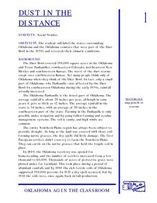
Dust In The Distance
Students are introduced to the events of the Dust Bowl. Using a map, they locate and label all of the states surrounding and including Oklahoma. After also labeling the counties in Oklahoma, they use the internet to research the...
Curated OER
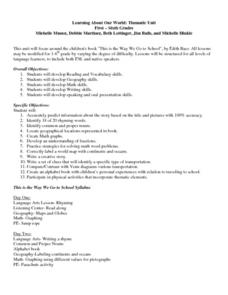
Learning About Our World
Students explore their world using the book "This is the Way We Go to School." They predict information about the story based on the title and pictures. Students label a world map with the names of continents and oceans. They write a set...
Curated OER
Natural Resources
Fifth graders begin the lesson by identifying the different types of natural resources. As a class, they discuss how environments are destructed and how the loss of one natural resource can affect the economy. Using a map, they label the...
Curated OER
The Continents and Oceans of the World
Students explore world mapping skills. In this world geography lesson, students identify and label the continents and oceans on a world map using the Visual Thesaurus. Students generate mnemonic devices to help memorize these terms.
Curated OER
Currently Warm
Seventh graders investigate how ocean currents affect climate. In this earth science lesson plan, 7th graders draw and label the current in their assigned ocean. They discuss how currents from the poles differ from the equator.
Curated OER
What's In Your Grocery Bag?
Young scholars explore the global implications of consumer decisions when purchasing groceries. They examine labels of food products and discuss the wording on the labels. They calculate food miles of how far each ingredient in foods...
Curated OER
The Edge of Home
Students explain why some species of plants and animals occur in more than one area. They watch as the teacher puts an overlapping circles on the chalkboard, students are asked to predict what kinds of things they would expect to find in...
Curated OER
Breaking Through Reading Roadblocks!
Students apply reading strategies to interpret a map, a diagram, a scientific chart, and a historical text. In small groups, they examine and analyze various documents. They present their findings to the class.
Curated OER
Coordinates
Students identify and label the coordinate planes by the four different quadrants. In this geometry lesson, students plot an ordered pair correctly. They identify and differentiate between rational and irrational numbers.
Curated OER
The American Land
Students identify the 5 major regions of the United States on a map and then research one of the regions in groups. In this regions lesson plan, students use their textbooks to research.
Curated OER
Algebra/Geometry Institute Summer 2007: Graphing Activity
Seventh graders practice identifying coordinates by examining a city map. In this graphing lesson, 7th graders create coordinate directions on an index card and practice locating these locations on a grid. Students read and...
Other popular searches
- Map Labeling
- Africa Map Labeling
- Midwest Map Labeling
- Geography Map Labeling
- Labeling a Map Continents
- Blank Labeling Maps
- Labeling Maps Pangaea
- Labeling Map Parts


