National Humanities Center
National Humanities Center: Toolbox Library: Rule, American Beginnings: 1492 1690
Three documents reflecting official views of how to rule and regulate a successful colony in New France, Jamaica, and the Spanish Indies. Includes teacher reasources for framing discussion.
Read Works
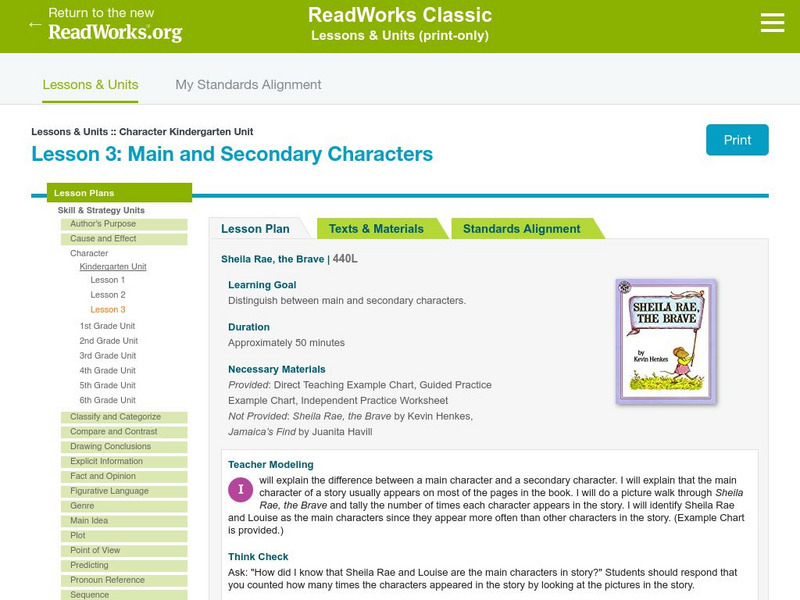
Read Works: Kindergarten: Character: Lesson 3: Main and Secondary Characters
[Free Registration/Login Required] Based on stories Sheila Rae, the Brave and Jamaica's Find, this lesson plan will take young scholars through the process of distinguishing main characters from secondary ones by relying on clues from...
Countries and Their Cultures
Countries and Their Cultures: Multicultural America: Jamaican Americans
Provides an overview of the traditional culture and lifestyle of Jamaican Americans. (Note: Content is not the most current.)
Academy of American Poets
Poets.org: Claude Mc Kay
This site from The American Academy of Poets contains biographical information on Claude McKay. Also includes several links throughout for additional information on subjects that are related to McKay. Also includes a selected...
Varsity Tutors
Varsity Tutors: Web English Teacher: Theodore Taylor
What do you know about the life and work of Theodore Taylor? Use this online resource to discover information about this famous author.
Encyclopedia Britannica
Encyclopedia Britannica: Guide to Black History: Joe Frazier
This entry from Encyclopedia Brittanica's Guide to Black History features Joe Frazier, an American world heavyweight boxing champion from February 16, 1970, when he knocked out Jimmy Ellis in five rounds in New York City, until January...
Other
Penguin: Reading Guide: The Autobiography of My Mother
This reading guide provides a critical introduction to Kincaid's novel, background information about the author, and a number of discussion questions suitable for reading groups or class discussion.
Curated OER
Jamaican Capital Kingston
This BBC site follows the history of Jamaica from 1494 when Columbus first sighted it, to the present. Links to news stories are also available.
Curated OER
Educational Technology Clearinghouse: Maps Etc: Cuba, 1919
A map from 1919 of Cuba and the Isle of Pines showing the provinces and provincial capitals, major cities and towns, railroads, submarine telegraph cable routes, rivers, terrain and coastal features, reefs, and smaller islands. The map...
Curated OER
Educational Technology Clearinghouse: Maps Etc: North America, 1910
A map from 1910 of North America showing the Dominion of Canada, Greenland, the United States, Mexico, Guatemala, British Honduras (Belize), San Salvador (El Salvador), Honduras, Nicaragua, Costa Rica, Panama, and the islands of the...
Curated OER
Educational Technology Clearinghouse: Maps Etc: North America, 1783
A map of North America, Central America, and northern South America at the end of the American Revolutionary War (1783). The map is color-coded to show the territory of the United States at the time, British possessions in Canada,...
Curated OER
Educational Technology Clearinghouse: Maps Etc: Cuba and Mexico, 1903
A map from 1903 of Cuba, Isle of Pines and Jamaica, showing the provinces at the time, province capitals, major cities, towns and ports, railroads, mountains, rivers, coastal features, and smaller neighboring islands. An inset map...
Curated OER
Educational Technology Clearinghouse: Maps Etc: Central America, 1920
A map from 1920 of Central America showing political boundaries at the time, capitals and major cities, railroads, submarine telegraph cables, mountain systems, lakes, rivers, coastal features, banks or reefs, and the islands of Jamaica...
Curated OER
Educational Technology Clearinghouse: Maps Etc: Central America, 1922
A map from 1922 of Central America showing political boundaries at the time, capitals and major cities, railroads, submarine telegraph cables, mountain systems, lakes, rivers, coastal features, banks or reefs, and the islands of Jamaica...
Curated OER
Educational Technology Clearinghouse: Maps Etc: Central America, 1909
A map from 1909 of Central America showing political boundaries at the time, capitals and major cities, railroads, submarine telegraph cables, mountain systems, lakes, rivers, coastal features, banks or reefs, and the islands of Jamaica...
Curated OER
Educational Technology Clearinghouse: Maps Etc: Central America, 1912
A black and white map from 1912 of Central America showing political boundaries at the time, capitals and major cities, railroads, submarine telegraph cables, mountain systems, lakes, rivers, coastal features, banks or reefs, and the...
Curated OER
Educational Technology Clearinghouse: Maps Etc: Central America, 1914
A map from 1914 of Central America showing political boundaries at the time, capitals and major cities, railroads, steamship routes with distances between major ports given in nautical miles, submarine telegraph cables, mountain systems...
Curated OER
Educational Technology Clearinghouse: Maps Etc: Mexico and Central America, 1910
A map from 1910 of Mexico and Central America showing political boundaries at the time, capitals and major cities, rivers, terrain and coastal features, reefs, and neighboring islands (Cuba and Jamaica). A map note shows the Panama Canal...
Curated OER
Etc: Maps Etc: Mexico, Central America and the West Indies, 1852
A map from 1852 of Mexico, Central America, and the West Indies. The map shows territorial boundaries at the time, including the Mexican States, capitals and major cities and ports, railroads, rivers, lakes, mountain systems, and terrain...
Curated OER
Slideshow
Three documents reflecting official views of how to rule and regulate a successful colony in New France, Jamaica, and the Spanish Indies.
Curated OER
Educational Technology Clearinghouse: Maps Etc: Kingston and Port Royal, 1919
A map from 1919 of the Jamaican capital city Kingston and nearby Port Royal, showing the harbor, forts Augusta, Charles, Henderson, and Passage, railway to Spanish Town, major roads, Hope River, Sandy River, and River Cobre, and coastal...
Curated OER
Perry Castaneda Map Collection: Latin America Map
This political map of Latin America and South America is in color and features major cities.
Countries and Their Cultures
Countries and Their Cultures: Germans
Provides an overview of the traditional culture and lifestyle of Germans. Gives basic facts about location, language, folklore, foods, social customs, family life, education, religion, pastimes, societal challenges, etc. (Note: Content...
Countries and Their Cultures
Countries and Their Cultures: Ghanaians
Provides an overview of the traditional culture and lifestyle of Ghanaians. Gives basic facts about location, language, folklore, foods, social customs, family life, education, religion, pastimes, societal challenges, etc. (Note: Content...
Other popular searches
- Jamaica Webcams
- Jamaican Culture
- Jamaican Music
- Jamaica Web Cams
- Geography Jamaica
- Jamaica Photos
- Caribbean Jamaica
- Jamaica Natural Resources
- Jamaica Kincaid
- Math Jamaica
- Ancient World History Jamaica
- Jamaica Time Period


