Curated OER
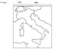
Italy Outline Map
In this outline map activity, students examine the political boundaries of the European nation of Italy. The map may be used in variety of activities that individual teachers create to accompany it.
Curated OER
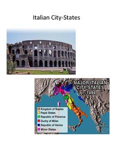
Italian City-States
Check out this packet of worksheets involving mapping activities, vocabulary logging, reading and comprehending informational texts, etc., which focuses on Italian city-states during the fourteenth and fifteenth centuries. There are also...
Curated OER
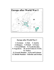
Europe after World War I
In this Europe after World War I map worksheet, learners note the 11 regions of the Europe labeled on the map.
Other popular searches
- Map of Italy
- Blank Map of Italy
- Choropleth Map of Italy
- Choropleth Map for Italy
- Physical Map of Italy
- Landforms Map of Italy
- Map of Renaissance Italy
- Worksheet Map of Italy
- Printable Map of Italy
- Choropleth Maps Italy
- Outline Map of Italy
- Renaissance Italy Maps


