Hi, what do you want to do?
American-Israeli Cooperative Enterprise
Jewish Virtual Library: Un Partition Plan, September 1947
This authentic UN map depicts the political lines to be drawn to partition Palestine as established in 1947.
Harry S. Truman Library and Museum
Harry S. Truman Library and Museum: Un Resolution 181: 1947 Partition
The map shows the partition of Israel according to UN Resolution 181 in 1947.
Other
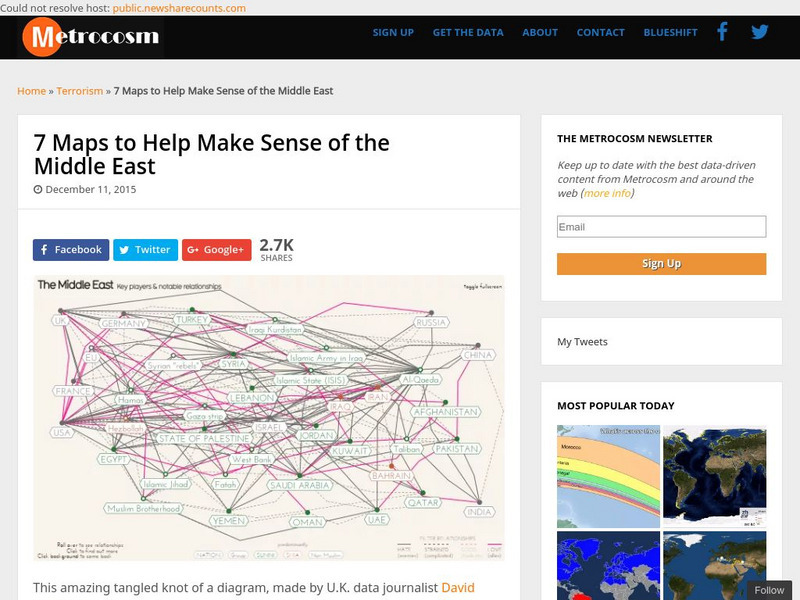
Metrocosm: 7 Maps to Help Make Sense of the Middle East
Keep up to date with the everchanging Middle East Region. The Middle East has been a tangled web of alliances since WWI. These maps attempt to make sense out of the this often confusing area. The 7 maps show the relationships among...
Curated OER
Educational Technology Clearinghouse: Maps Etc: Palestine, 1916
A map from 1916 of Palestine as it was recognized at the time.
Curated OER
Etc: Maps Etc: Palestine, With Detail of Old Jerusalem, 1915
Ancient Palestine, with an inset of Old Jerusalem, intended for use in Bible studies.
Curated OER
Unesco: Israel: White City of Tel Aviv the Modern Movement
Tel Aviv was founded in 1909 and developed as a metropolitan city under the British Mandate in Palestine. The White City was constructed from the early 1930s until the 1950s, based on the urban plan by Sir Patrick Geddes, reflecting...
Other
Le Monde Diplomatique: The First Arab Israeli War (1948 1949)
This site provides maps of the attacks and counter-attacks during the First Arab-Israeli War.
University of Texas at Austin
Map of the West Bank
A colorful political map of the West Bank of the Jordan River. Shows shrines, mines, antiquities sites, bordering countries, Israeli civilian and military areas,roads, and razed villages. Map reflects the territory in 1992.
Curated OER
Educational Technology Clearinghouse: Clip Art Etc: View of Jerusalem
Finally should be mentioned Jerusalem, capital of Palestine. It is situated fifteen miles west of the head of the Dead Sea. It is built on a high plateau of limestone about two miles square, abutting against the mountains on the...
Curated OER
Middle East Clashes
A young person's guide to the problems between Israel and the Palestinians. Various topics are explored such as how Palestine was created, why is there violence happening and much more.
Other popular searches
- Israel Palestine Conflict
- Palestine Israel
- Palestine and Israel
- Palestine Israel Peace
- Israel Palestine Map
- Bbc Israel Palestine
- Israel Palestine Geography
- Israel and Palestine History
- Israel Palestine Conflicgt
- Israel Palestine Creation
- Israel Palestine Con Flit
- Israel Palestine Conflit


