International Technology Education Association
Reinventing Time
Take a trip through time. A lesson resource provides instruction on the origin of current measurements for time. The text explains the different tools humans used throughout history to measure time as well as provides examples such as...
Curated OER
Time Zones
For this time zones worksheet, students are given a map of the Earth indicating the time zones, the prime meridian and the international date line. Students answer 5 questions about solar occurrences and determine when each would be seen...
Curated OER
Time Zones and Migration Patterns of the Leatherback Sea Turtle
Students identify the different time zones by plotting the migration patterns of the leatherback sea turtles. They discover that traveling around the worlds includes passage through different time zones.
Curated OER
Viewpoints
In this latitude and longitude worksheet, students complete 10 matching questions identifying key features or locations on a map. Students also use lines of latitude and longitude to identify the time in 4 different places.
Curated OER
Math with Maps and Globes
Students round out their math skills with these ‘round the world' ideas. In this math and geography lesson, students try out time zone sticks, a polar race, and tic-tac-globe to engage them in learning more about globes and the...
Curated OER
The Deadly Van Allen Belts?
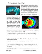
In this Van Allen Belts worksheet, students read about the deadly affects of the high energy particle clouds located around the Earth. Students answer 4 questions about the dosages of radiation astronauts receive in the zones of the Van...
Curated OER
Viewpoints
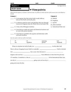
In this map worksheet, students review latitude, longitude, equator, and prime meridian. This worksheet has 5 matching and 8 fill in the blank questions.
The New York Times
Soccer Fever: Learning About the World Cup in Brazil
What an incredible collection of ideas for teaching about the 2014 World Cup in Brazil! This resource is packed with news articles and instructional activities on a wide variety of topics, from the global popularity of soccer and the...
Curated OER
Where in the Latitude Are You? A Longitude Here.
Students distinguish between latitude and longitude on the map. In this mapping lesson, students participate in mapping skills to recognize spatial relationships, and where to find natural resources on the map. Students create...
Curated OER
Can You Beat Jet Lag?
Learners examine the health condition of jet lag. Using mealworms, they test the effect of light on the development of them into adults. They answer discussion questions and examine the relationship of age and one's activity level.
Curated OER
Tracking Ocean Ecology
Students look at the data maps given to them about how chlorophyll affects the algae blooms and make predictions about the harm they will cause. In this data maps lesson plan, students manipulate data sets from the website.
Curated OER
A Brand New Day
Students locate Maine on a classroom map and discuss if Maine is where the nation's first light is found, where would the nation's last light be seen. They explore the idea of the sun rising in the east and setting in the west.
Curated OER
Creating The Blueprints
Learners engage in a lesson in order to create blueprints to design an original floorplan. They use graphing paper and drawing tools to demonstrate knowledge of the lesson objectives. Students label and use the right kind of proportions...
Wikimedia
Wikipedia: International Date Line
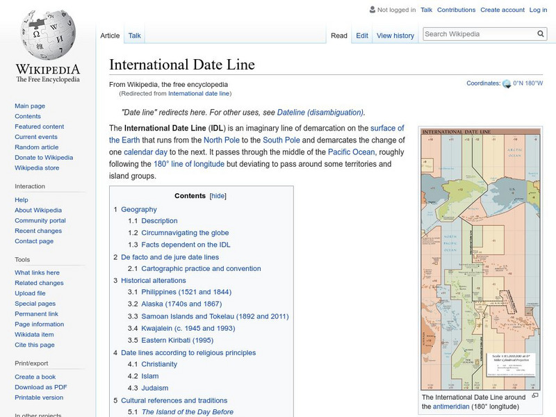
Wikipedia offers information on the International Date Line, an imaginery line that offsets the hours added as one travels east through time zones.
Wolfram Research
Wolfram Science World: International Date Line
This website provides a good general definition of the International Date Line.


