National Weather Service
National Weather Service: Precipitation Analysis
This interactive map of the US is color coded to show the quantity of rain received throughout the country. Selections can be made to focus on certain areas and certain time frames.
E-learning for Kids
E Learning for Kids: Science: South Africa: What Is the Weather Like Today?
Join Tim and Johnny on their voyage to South Africa, but before they get there they need to make sure they understand the weather conditions. This interactive module helps you describe the weather, learn about basic forecasting and how...
PBS
Pbs Learning Media: Daily and Seasonal Weather: Interactive Lesson
Students investigate the relationship between daily weather and seasonal weather. Students will read about how weather data is collected, then interpret examples of weekly and monthly weather data to find seasonal patterns. Visual...
Other
Digital Library for Earth System Education: Teaching Box: Essentials of Weather
A suite of lessons focusing on the basic elements of climate and weather. Inquiry-based exploration of extreme weather events and the factors of weather including clouds, wind, air pressure, temperature, and the water cycle.
NOAA
Noaa: Earth System Research Laboratory: Psd: Interactive Climate Map of u.s.
Investigate climate trends across the United States by clicking on individual states and then specific cities. Data is presented from 1961-1990.
Other
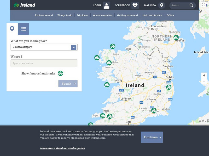
Ireland: Explore by Map
An interactive map of Ireland, with the ability to zoom-in or zoom-out, plus detailed maps of regions and cities. A link to the current weather in Ireland is also available.
PBS
Pbs Learning Media: A Look at Weather Factors: Interactive Lesson
Students learn about four factors that describe different types of weather -- temperature, wind, precipitation, and sunlight and clouds -- as they explore various weather conditions and find evidence that describes each type of weather...
Other
Canadian Tourism Commission: Maps canada.travel
This interactive map is an excellent student and teacher resource. Select Places to Go to show regions, provinces or territories and capital cities. Hover over the area to get links to more detailed information. Get up to the minute...
New York Times
New York Times: Crossword Puzzle: Weather
The New York Times Learning Network has developed interactive and printable crossword puzzles. The theme of this one is weather.
Math Science Nucleus
I. Science Ma Te: Integrating Science, Math and Technology
This site offers a wealth of online textbook-related materials that encourage the discovery of science in the world around us. Enter the site to access material on specific topics. Each section contains reading material (complete with...
American Museum of Natural History
American Museum of Natural History: Race to the End of the Earth
Multimedia-rich exhibition documents the race, in 1911, to be the first to reach the South Pole. Two teams undertook the perilous journey, one British, led by Robert Scott, and one Norwegian, led by Roald Amundsen. With digital dioramas,...
Other
Tourism Thailand: The Official Website for Tourism in Thailand
Take an online tour of Thailand, learning about the country's festivals, special events, and tourist activities. Great source for general information about Thailand, including facts about its history, religion, geography, economy, social...
Other
Earth Journalism Network: Climate Commons
A unique interactive tool that embeds news articles and information about climate change into a map of the United States. Users are able to explore what the impact of climate change at a local, regional or national level, as well as...
Cayuse Canyon
The Us50: Information About Chicago, Il
Explore the city of Chicago using this interactive map. If you know what section of the city you want to look at, you can click on the zipcode. Can also access current weather conditions.
Cayuse Canyon
The Us50: Information About st.louis, Mo
Here you can explore the city of St. Louis using the interactive map and a list of zipcodes. You can also see the current weather conditions and forecast.
Cayuse Canyon
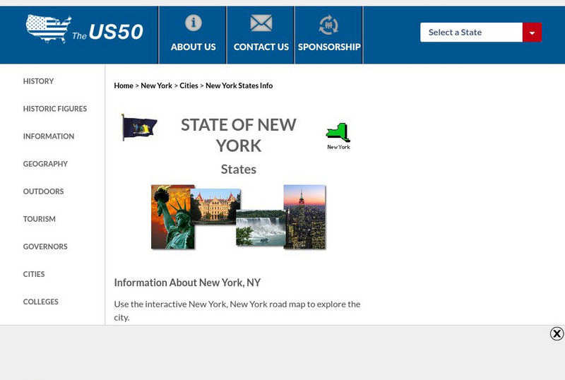
The Us50: Information About New York, Ny
This US50.com site lets you explore New York City using an interactive map, view a list of zipcodes, or check the current weather.
Cayuse Canyon
The Us50: Information About Seattle, Wa
Experience Seattle through this interactive map, list of zipcodes, and link to current weather conditions.
Oswego City School District
Regents Exam Prep Center: Earth Science
Resource for earth science review, with the following topics covered: composition of the Earth, mapping, rocks and minerals, weathering, and earthquakes. Includes a collection of online quizzes, review materials, old exams, and references.
TeachEngineering
Teach Engineering: Air Pollution
Students are introduced to the concept of air quality by investigating the composition, properties, atmospheric layers and everyday importance of air. They explore the sources and effects of visible and invisible air pollution. By...
NOAA
Noaa: Ship Okeanos Explorer: "America's Ship for Ocean Exploration"
Follow teams of scientists as they explore marine life and habitats of the deep ocean. Covers past and current expeditions in various regions of the world. Includes webcasts, videos, lesson plans and modules, and career resources. An...
Other
Totally Barbados: Barbados Island Guide
Primarily a tourist guide, by clicking on "About Barbados" you can find a great deal of interesting information on topics like fun facts, attractions, climate and weather, culture, history, geography, flag, interactive maps, news, photo...
Curated OER
Looking Out Over the Rooftops of Tecucigalpa
An overview of the capital city of Honduras, Tegucigalpa. Click on 'photos' for a great slide show, 'weather' for a monthly temperature chart, and 'map' for an interactive map.


