Hi, what do you want to do?
Curated OER
Etc: Maps Etc: Mexico and Western North America, 1845
A map of Mexico in 1845, prior to the ceding of the northern territories to the United States in 1846. The map shows the territories of Oregon, Texas, and Central America under Mexican control, and the frontiers of the Missouri and...
Library of Congress
Loc: Native American Reference Weblist
The Library of Congress provides a series of sites about Native Americans, featuring their history, literature and culture, news and current events,government and law, their libraries, museums, and archives, and, lastly, their tribes and...
New Advent
Catholic Encyclopedia: Bureau of Catholic Indian Missions
This site provides information about the Catholic Indian Missions Bureau including its history and the work done by the bureau. Please note that "The Catholic Encyclopedia" is a historic reference source and should be viewed in the...
PBS
Pbs Learning Media: Prairie Public Education Services Collection
Prairie Public Education Services award winning documentaries on Germans from Russia focus on the rich history of Germans from Russia and their migration to America. Indian Pride, the 13-part cultural magazine, showcases the unique...
Curated OER
Etc: The Territory of the Present Us During the French Indian Wars, 1755 1763
A map of North America showing the foreign possessions in the area of the present United States during the French and Indian Wars (1755-1763) between the French and English. This map is color-coded to show territorial claims at the time...
Curated OER
Etc: America at the Time of the Revolution, 1764 1789
A map of eastern North America showing "America at the time of the revolution." - Foster, 1921. This map shows the major divisions and boundaries of the revolutionary time period, including the Spanish Territory west of the Mississippi,...
Curated OER
Etc: Routes of Lewis and Clark, 1804 1805
A map of western North America showing the routes of exploration by Meriwether Lewis and William Clark (1803-1806), and Zebulon Pike (1806-1807). The map shows the newly purchased Louisiana Territory, the Indian Territory east of the...
National Humanities Center
National Humanities Center: Toolbox Library: Enslaved Peoples, American Beginnings: 1492 1690
Two Spanish accounts of enslaved Indians in the Caribbean and enslaved Africans in Mexico and statements of the difficulty of maintaining slavery and the lurking threat of a slave revolt.
National Humanities Center
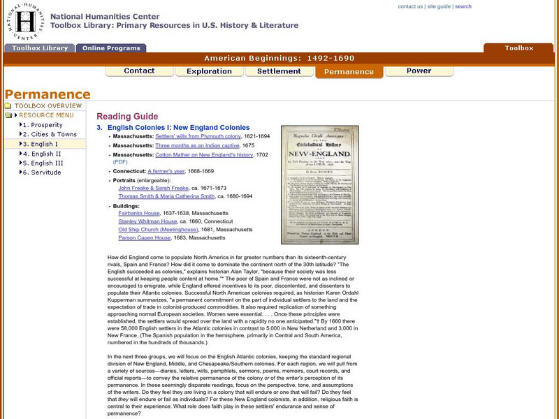
National Humanities Center: Toolbox Library: English I, American Beginnings: 1492 1690
Portraits of early New Englanders as well as four buildings from seventeenth-century New England that accompany accounts in those British colonies of struggles, Indian hostilities, and economic success.
National Humanities Center
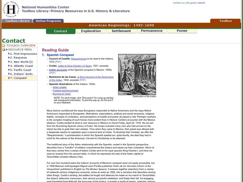
National Humanities Center: Toolbox Library: Conquest, American Beginnings: 1492 1690
A series of illustrations and accounts of Spanish conquest of Indians that reflect the fascination with and the brutality directed against native cultures.
Texas A&M University
Csfa: Circum Pacific Research by the Csfa
Center for the Study of the First Americans at Texas A & M University is researching many different sites across North America looking in to theories of "Clovis First" and "Pre-Clovis" as to who were the first people to inhabit North...
University of Groningen
American History: Outlines: Native American Cultures
The America that greeted the first Europeans was, thus, far from an empty wilderness. It is now thought that as many people lived in the Western Hemisphere as in Western Europe at that time -- about 40 million. Estimates of the number of...
Smithsonian Institution
Encyclopedia Smithsonian: Paleoamerican Origins
This detailed article from the Encyclopedia Smithsonian lays out the theories and evidence of who were the earliest inhabitants of North and South America. Beginning with the traditional theory of migration using the land bridge, and...
Other
Geo Times: The Ice Free Corridor Revisited
A very comprehensive article about the ice-free corridor which was possibly the passageway for Paleoindians to enter North America. The discussion includes geology as well as anthropolpgy.
Open Door Team
Open Door Web Site: Treaty of Paris
In this article you will find a brief description of the Treaty of Paris that ended the Seven Years' War and gave all French land in North America to England.
Curated OER
Etc: Maps Etc: French Posts and Forts in Louisiana and New France, 1754
A map of North America showing the French posts and forts at the beginning of the French and Indian War (1754) between the French and the British. The map is color-coded to show the territorial claims of the British, French, and Spanish...
Read Works
Read Works: The First Americans
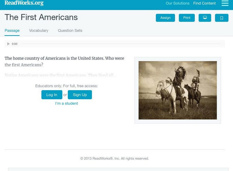
[Free Registration/Login Required] Intended to support early elementary students' reading comprehension, the importance of Native Americans is discussed in this informational text. Visual cues are provided to support the passage and...
The History Cat
The History Cat: Age of Exploration: The Columbian Exchange
A fascinating look at the exchanges that took place around the world after the Americas were discovered. This covered the gamut from diseases which wiped out 90% of the native peoples in North and South America, to farm animals, tools,...
Other
Ohio History: Virtual First Ohioans
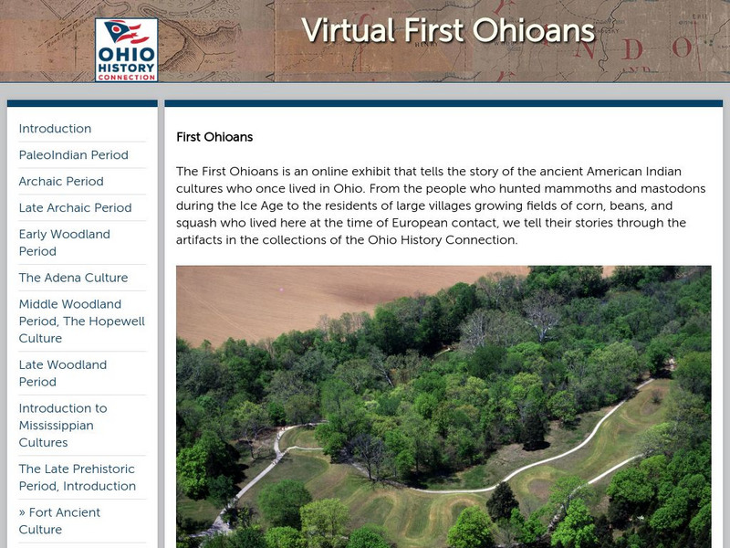
This award-winning resource from the Ohio Historical Society presents Ohio's first cultures: PaleoIndian, Archaic, Woodland, Mississippian, and Late Prehistoric Period cultures. Click on each period for additional information and great...
Curated OER
Etc: Territorial Development of the United States, 1783 1889
A map from 1889 of North America showing the expansion in the region of the United States from the original Thirteen Colonies at the end of the Revolutionary War in 1783 to the time the map was made, around 1889, before the territories...
Curated OER
Educational Technology Clearinghouse: Maps Etc: The Indian Nations, 1775
An early map of the eastern North America from the Great Lakes to the Gulf of Mexico and east of the Mississippi River around 17765, showing the Indian Nations adjoining to the Mississippi, West and East Florida, Georgia, South and North...
Curated OER
Etc: Maps Etc: The American Indian Nations, 1776
An early map of the southeastern North America around 1776, showing the American Indian Nations of the region at the time. The map shows colonial boundaries extending from the Atlantic coast to the Mississippi River, towns, forts, and...
Curated OER
Etc: Colonies During the French and Indian Wars , 1754 1763
A map of eastern North America at the time of the French and Indian War (1754-1763). The map is color-coded to show the possessions of the British, French, and Spanish at the time. The map shows the British colony boundaries, major...
Curated OER
Etc: Maps Etc: The Location of the Eastern Indian Tribes, 1600s
A map from 1911 of eastern North America showing the general areas of early contact between the Native Americans and European settlers. The map is divided by groups (Algonquians, Iroquoians, Siouans, and Muskhogeans) and the principal...


