Hi, what do you want to do?
Cornell University
Cornell University: Art, Design, and Visual Thinking: Native Americans
Picked from an all-inclusive site of art terms from Charlotte Jirousek's interactive textbook at Cornell University. The historic background of Native Americans in North America with a synopsis of the Woodlands people.
University of Florida
Florida Museum of Natural History: Homepage
This site from the Florida Museum of Natural History gives the current events, information about the museum, exhibits and public programs, research and collections, links, etc. to the Florida Museum of Natural History.
Curated OER
National Park Service: Archaeology Program: The Earliest Americans Theme Study
This exhaustive study of Paleo-Indians examines many of the sites where evidence of their occupation is found across the North American continent. This National Park Service study looks at evidence in found in projectile points,...
University of Groningen
American History: Outlines: The French and Indian War
France and Britain engaged in a succession of wars in Europe and the Caribbean at several intervals in the 18th century. Though Britain secured certain advantages from them -- primarily in the sugar-rich islands of the Caribbean -- the...
Son of the South
Son of the South: The American Indian
Discusses the way of life and geographical distribution of various Indian tribes that existed at the time that Columbus reached North America.
C3 Teachers
C3 Teachers: Inquiries: New France
A comprehensive learning module on New France that includes three supporting questions accompanied by formative tasks and source materials, followed by a summative performance task. Topics covered include where the French explored and...
Curated OER
Educational Technology Clearinghouse: Maps Etc: North America, 1763
A map of eastern North America and the Greater Antilles showing the territorial possessions adjusted by the Peace of 1763 (Treaty of Paris) at the end of the French and Indian War (and the Seven Year War in Europe). The map is...
Curated OER
Educational Technology Clearinghouse: Maps Etc: North America, 1782
A map of eastern North America at the end of the American Revolution, after numerous peace talks were held in Paris between the United States and Britain. This map shows the proposed new boundaries of the United States, English...
Curated OER
Educational Technology Clearinghouse: Maps Etc: Central North America, 1755
A map of central North America showing territorial claims at the beginning of the French and Indian War in 1755. The map shows the Oregon Country, the Spanish claims to New Spain and Florida, the French claims to Louisiana and Canada,...
Curated OER
Etc: French Expansion and British Conquests in North America , 1700 1763
A map of eastern North America showing the British and French territorial expansion in the region between 1700 and the end of the French and Indian War in 1763. The map shows the principal stages in the acquisition of Eastern North...
OpenStax
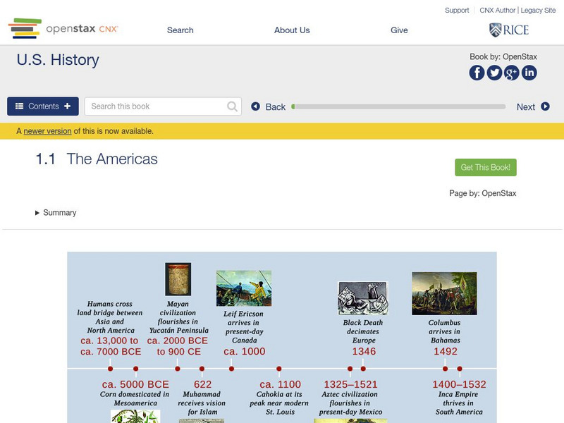
Open Stax: The Americas
After reading this section, students will be able to locate on a map the major American civilizations before the arrival of the Spanish, discuss the cultural achievements of these civilizations and also the differences and similarities...
University of Iowa
Iowa Office of the State Archaeologist: Early Paleoindian Period
Clovis and Folsom projectile points tell archaeologists a lot about the distribution of Paleoindians across North America. Read about these points, how they were made, and where these points were found in Iowa.
Other
Usc News: Pnas: Topper Site in Middle of Comet Controversy
The disagreement between those who theorize that Clovis man was the first to inhabit North America and those who beleive that there was a pre-Clovis culture continues even today. Archaeologists have found evidence of pre-Clovis points at...
Other
The Royal Proclamation of October 7, 1763
The original text of the British Royal Proclamation, 1763 - the document that dealt with the governance of the new colonies of British North America. The author of the site has published the text of the document as well as an annotation...
Curated OER
Etc: Maps Etc: British Colonies After the French and Indian War, 1764
A map of the eastern portion of North America showing the British, Spanish, and Indian territories after the French and Indian War (1754-1763), with the proclamation line as established by the Treaty of Paris (1763). "The newly acquired...
Curated OER
Etc: Maps Etc: Distribution of American Indians, 1500
A map from 1920 of North America central Canada to northern Mexico showing the distribution and territories of the Native Americans around 1500. The boundaries are based on linguistic stock and not tribal territories. The map was...
Other
Hooper Virtual Paleontological Museum
This site provides a virtual tour to the Hooper Virtual Paleontological Museum. There are many virtual exhibits to visit through a series of links, including Mass Extinctions and Human Evolution. Very descriptive and fun tour!
Curated OER
Etc: Maps Etc: British Possessions in North America, 1765
A map showing the British possessions in North America in 1765 after the French and Indian War, as defined by the Treaty of 1763, Proclamation of 1763, and the Royal Orders of 1764-1767. The map shows the British Colonies on the...
Curated OER
Etc: Maps Etc: British Possessions in North America, 1775
A map showing the British possessions in North America in 1775, before the outbreak of hostilities during the American Revolutionary War. The map shows the boundaries of the British Colonies along the Atlantic, the Proclamation Line of...
Countries and Their Cultures
Countries and Their Cultures: Black West Indians in the United States
With this resource the students will learn about the culture and origin of the Black West Indians in the United States.
Countries and Their Cultures
Countries and Their Cultures: Bearlake Indians
With this resource the students will learn about the culture and the origins of the Bearlake Indians.
Countries and Their Cultures
Countries and Their Cultures: Keres Pueblo Indians
With this resource the students will learn about the culture and origin of the Keres Pueblo Indians.
Annenberg Foundation
Annenberg Learner: Interactives: Southeast Tribes
Interactive web site where students can learn about the development of the geography of the United States over the course of history. This section of the site focuses on the original inhabitants of North America, in particular the...
New Advent
Catholic Encyclopedia: Catholic Indian Missions of Canada
This article from The New Advent deals with the history and development of Catholic missions to the native peoples of Canada. Please note that "The Catholic Encyclopedia" is a historic reference source and should be viewed in the context...


