Curated OER
A Canadian Inventory: The Way We Are!
Students use the Canadian Atlas to discover an inventory of Canada's wealth and usage of resources. Using charts and graphs, they produce a wall of selected data of importance to the country and identify one issue of sustainability. ...
Curated OER
The Landscape Through Geographer's Eyes
Pupils examine different types of landscapes through a geographer's eye. Using a city block or a suburb, they organize their thoughts and take notes to survey a site. They discuss what they have seen and write about how looking at the...
CK-12 Foundation
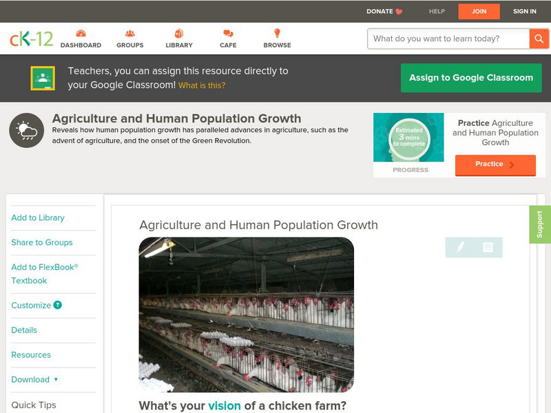
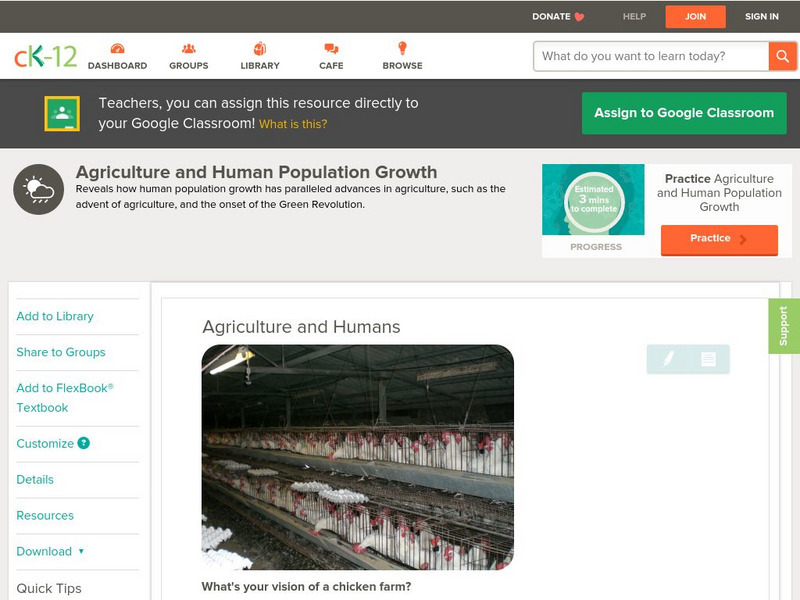
Ck 12: Earth Science: Agriculture and Human Population Growth
[Free Registration/Login may be required to access all resource tools.] Reveals how human population growth has paralleled advances in agriculture, such as the advent of agriculture, and the onset of the Green Revolution.
CK-12 Foundation
Ck 12: Earth Science: Future Human Population Growth
[Free Registration/Login may be required to access all resource tools.] Describes future population growth.
CK-12 Foundation
Ck 12: Earth Science: Agriculture and Human Population Growth Study Guide
[Free Registration/Login may be required to access all resource tools.] Summarizes the key points about the evolution of agriculture and how it has impacted human population growth. Includes a few questions to check for understanding.
CK-12 Foundation
Ck 12: Life Science: Human Population
[Free Registration/Login may be required to access all resource tools.] How quickly is the human population growing? If we look at worldwide human population growth from 10,000 BCE through to today, our growth looks like exponential...
CK-12 Foundation
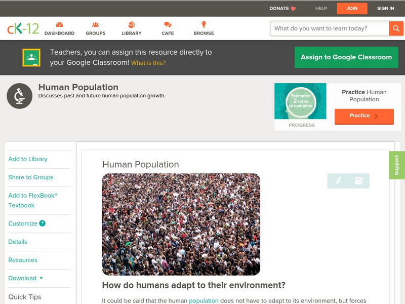
Ck 12: Biology: Human Population
[Free Registration/Login may be required to access all resource tools.] Overview of early human population growth.
CK-12 Foundation
Ck 12: Earth Science: Revolutions in Human Population Growth
[Free Registration/Login may be required to access all resource tools.] Describes causes of increased population growth.
CK-12 Foundation
Ck 12: Earth Science: Agriculture and Human Population Growth
[Free Registration/Login may be required to access all resource tools.] How advances in agriculture have been able to sustain larger human populations.
CK-12 Foundation
Ck 12: Life Science: 12.6 Human Population
Understand stages of human population growth.
CK-12 Foundation
Ck 12: Biology: Recent and Future Population Growth
[Free Registration/Login may be required to access all resource tools.] Discusses recent human population growth and predictions of future population growth.
Other
Rockefeller University: Human Population Dynamics
Mathematically attempts to model human population growth in order to discuss whether the population will skyrocket or level off long before it doubles.
Alabama Learning Exchange
Alex: Human Population Growth Web Quest
This is a technology-based lesson plan that integrates science and math to investigate the dynamics of population growth.
CK-12 Foundation
Ck 12: Biology: Human Population Study Guide
This comprehensive study guide covers the main terms and concepts needed for a unit on the growth of the human population.
CK-12 Foundation
Ck 12: Earth Science: Growth of Human Populations
[Free Registration/Login may be required to access all resource tools.] Describes how the human population is rapidly expanding.
CK-12 Foundation
Ck 12: Earth Science: Growth of Human Populations
[Free Registration/Login may be required to access all resource tools.] Describes how the human population is rapidly expanding.
National Humanities Center
National Humanities Center: Teacher Serve: Choosing Future Population
Essay on population growth past, present and future and the impact on society. Includes guiding questions for students and links to related resources.
Geographypods
Geographypods: Theme 1: Population and Settlement
A rich collection of highly engaging learning modules on topics related to population and settlement. Covers six main areas - population growth, population change, population migration, land use, settlement characteristics and patterns,...
Khan Academy
Khan Academy: Activity: Population Growth
In this activity, you will study and analyze the nature and patterns of human population growth over the last 10,000 years. This will help you understand the differences between population growth before and after the Modern Revolution.
Center for Innovation in Engineering and Science Education, Stevens Institute of Technology
Ciese: Population Growth Project
In this collection of nine lessons, learners use data from the U.S. Census to create population growth models and to examine the impact of changes in population factors such as age, demographic, etc.
Population Connection
Population Connection
Population Connection, a grassroots organization concerned about overpopulation and its affect on the quality of life, provides a wealth of materials about human population. Resources include world population fact sheets, factoids,...
CK-12 Foundation
Ck 12: Life Science: Population Growth Patterns
[Free Registration/Login may be required to access all resource tools.] What does population growth mean? You can probably guess that it means the number of individuals in a population is increasing. The population growth rate tells you...
TeachEngineering
Teach Engineering: Cellular Respiration and Population Growth
Two lessons and their associated activities explore cellular respiration and population growth in yeasts. Yeast cells are readily obtained and behave predictably, so they are very appropriate to use in middle school classrooms. In the...
CK-12 Foundation
Ck 12: Earth Science: Growth of Human Populations Study Guide
Understand growth of human populations using this study guide.
