Annenberg Foundation
Annenberg Learner: Bridging World History: Maps, Time, and World History
Learn how map projections and chronological constructs are used in the study of world history and help us to understand and interpret the past. Part of a larger site on world history, this unit on maps offers complete reading,...
Pamela Seed
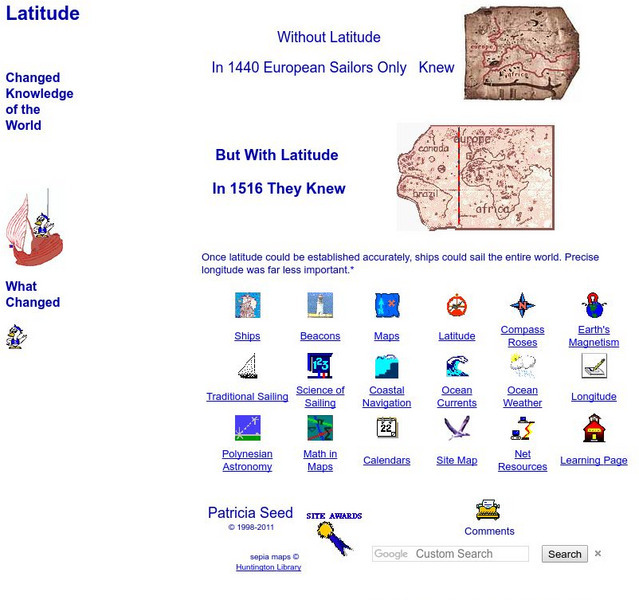
Rice: Latitude: The Art and Science of 15th Century Navigation
This is a great site to read about how navigation began in Europe and what tools were used. Make sure to read the segments on coastal navigation, maps, and ocean currents.
University of Oregon
University of Oregon: Interactive Nolli Map of Rome: 1748 Map of Rome
Interactive Nolli Map introduces students to Rome and the structure of its urban form based on the work of eighteenth-century Italian architect Giambattista Nolli. Using the map engine, navigate through the city at a variety of scales,...
Khan Academy
Khan Academy: What Maps Tell Us
Maps are subjective, and like any form of art and design they have stories to tell and reveal a lot about the times in which they were produced. Maps involve selections of information, human editing, and a visual language legible to the...
Other
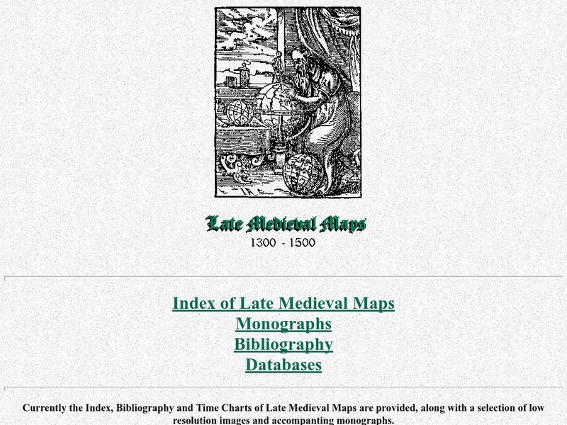
Cartographic Images: Late Medieval Maps 1300 1500
Find some incredible maps of early cartographers. What did they know of the world then? Did they know it was round? Take a look at this site.
EL Education
El Education: Flower City Atlas
3rd grade students in Rochester, New York, created this historical/environmental guide to the City of Rochester as part of a learning expedition on local history. The guiding questions were: How did Rochester become the Flower City? How...
Internet History Sourcebooks Project
Fordham University: History Sourcebook: France 1360 the Peace of Bretigny
This Fordham University map shows France's boundaries in 1360, which lands were ceded to Edward, and the path of his march to Calais.
Internet History Sourcebooks Project
Fordham University: History Sourcebook: France in the Late 15th Century
France 1461 is divided into various duchies, provinces, and these are marked with the names of their rulers (i.e., the Duc d'Alencon).
Curated OER
Image: The Mariner's Compass
A look at mapmaking during the time of the explorers. The site profiles various mapmaking tools and the history of mapmaking from the 16th to the 18th century.
Curated OER
Photograph: A 17th Century Astrolabe Found Near Cobden, Ontario
A look at mapmaking during the time of the explorers. The site profiles various mapmaking tools and the history of mapmaking from the 16th to the 18th century.
Curated OER
Latitude: The Art and Science of 15th Century Navigation
This is a great site to read about how navigation began in Europe and what tools were used. Make sure to read the segments on coastal navigation, maps, and ocean currents.
Curated OER
How Accurately Did They Know the World in 1516?
This is a great site to read about how navigation began in Europe and what tools were used. Make sure to read the segments on coastal navigation, maps, and ocean currents.


