Hi, what do you want to do?
Library of Congress
World Digital Library: United States History: Map
A collection of primary source materials linked to a map that explore a wide scope of events in the history of the United States from 1492 on. Click on any numbered circle and a popup appears showing one or more thumbnails and where the...
Library of Congress
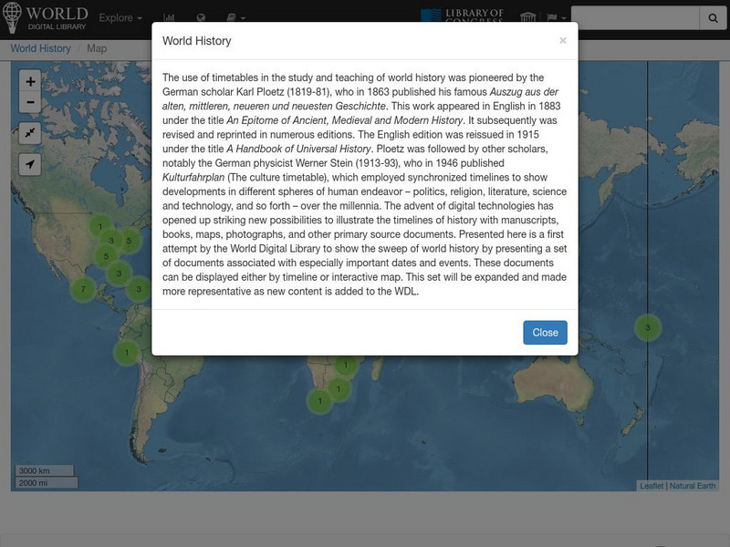
World Digital Library: World History: Map
A collection of primary source materials linked to a map that explore a wide scope of events in the history of the world. Click on any numbered circle and a popup appears showing one or more thumbnails and where the material is located....
National Geographic
National Geographic: John Smith Map of 1612
Presents the map published in 1612 that was developed from Captain John Smith's explorations of the Chesapeake Bay region, and used as the main reference for close to seventy years.
Library of Congress
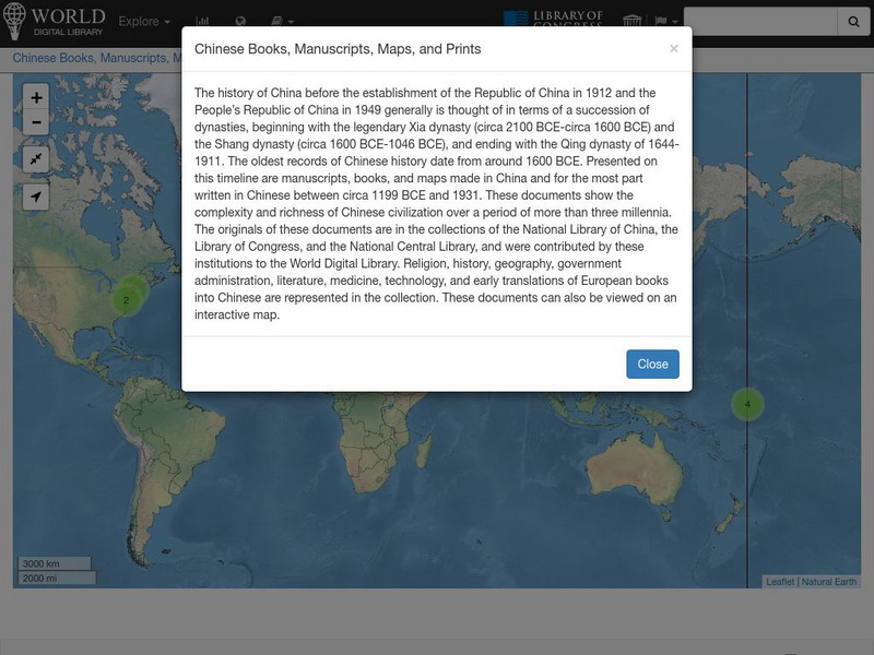
World Digital Library: Chinese Books, Manuscripts, Maps, and Prints: Map
A collection of primary source materials linked to a map that explore the history of China from 1200 B.C. to 1931. This is a world map with links on other continents as well, so zoom into China and click on a numbered circle. A popup...
Library of Congress
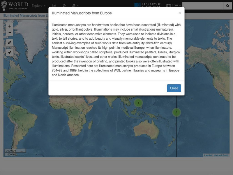
World Digital Library: Illuminated Manuscripts From Europe: Map
A collection of primary source materials linked to a map that showcase illuminated manuscripts from 764 to 1889 that are in European museums and libraries. Click on a numbered circle and a popup appears showing one or more thumbnails and...
Library of Congress
World Digital Library: Imperial Russia: Map
A collection of primary source materials linked to a map that showcase the state of the Russian Empire in the 1800s. Click on any numbered circle and a popup appears showing one or more thumbnails of cards that highlight the unique...
Library of Congress
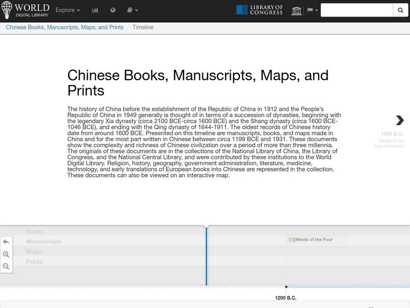
World Digital Library: Chinese Books, Manuscripts, Maps, and Prints: Timeline
A collection of primary source materials presented on a timeline that explore the history of China from 1200 B.C. to 1931. Click on an image to go to a page with descriptive information about each item. Each description has an audio...
University of Georgia
University of Georgia: Hargrett Library Rare Map Collection: The Historical War Map, 1862
A large map of the U.S. in 1862 showing the roads and railways primarily in the Confederacy.
University of Georgia
University of Georgia: Hargrett Library Rare Map Collection: Topical War Map of the Southern States
A large detailed map of the central and southern U.S. from 1863. Difficult to read.
University of Florida
Baldwin Library: Key to Pelton's New and Improved Series of Outline Maps
A scanned copy of the 1850 publication of Key to Pelton's New and Improved Series of Outline Maps by Cale Pelton, a nonfiction geography book for children.
Massachusetts Historical Society
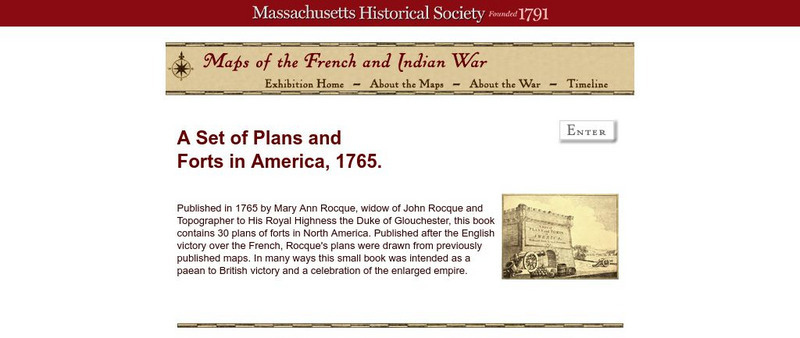
Massachusetts Historical Society: A Set of Plans and Forts in America, 1765
A digitized version of a book published in 1765 by Mary Ann Rocque, widow of John Rocque, topographer to the Duke of Glouchester. Contains images of the thirty plans of forts in North America. Published after the English victory over the...
Library of Congress
Loc: African American Mosaic: Conflict of Abolition and Slavery
Historical documents trace how the abolitionists virulently decried slavery and denounced those who supported it.
Library of Congress
World Digital Library: United States History: Timeline
A collection of primary source materials presented on a timeline that showcase events in the history of the United States from 1625 on. Click on an image to go to a page with descriptive information about each item. Each description has...
Library of Congress
World Digital Library: World History: Timeline
A collection of primary source materials presented on a timeline that showcase events in the history of the world beginning with Moses and the Ten Commandments in 1240 B.C. Click on an image to go to a page with descriptive information...
Alabama Department of Archives and History
A Map Can Tell a Story
An interesting lesson plan for students to attempt to locate the Alabama counties and identify voting patterns in the state.
Harvard University
Open Collections Program: Expeditions and Discoveries: Modern Age
An inclusive collection of maps, field notes, photos and letters of Harvard sponsored explorations and discoveries during the 19th and 20th centuries.
PBS
Pbs Learning Media: Library of Congress: Media Gallery | Women's Suffrage
This collection of primary source documents from the Library of Congress supports teaching about women's suffrage in the United States. These primary sources include images, song sheets, articles, statistical documents, maps, political...
Calisphere: University of California Libraries
University of California: Calisphere: Californio Society, 1830s 1880s
Collection of photos and drawings depicting early California elite and maps of land use from which students can learn about the transformation of the California economy and its political and cultural development in the 1800s.
Other
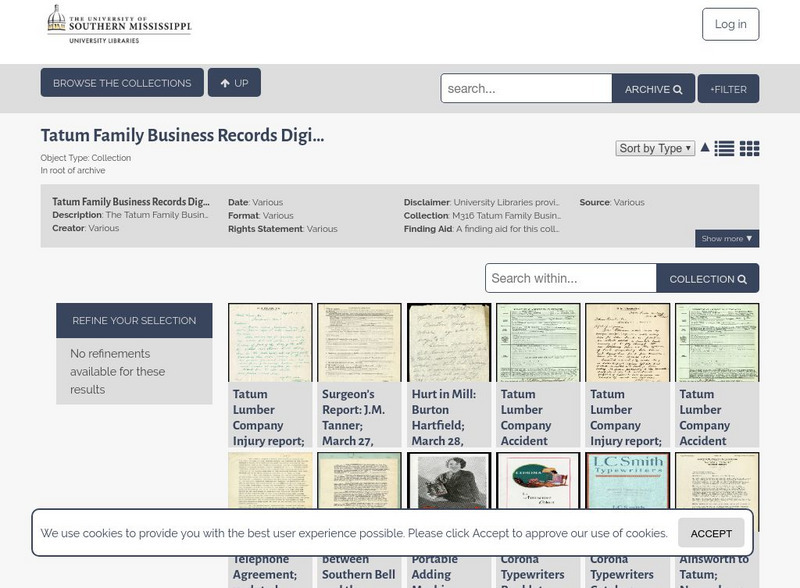
The University of Southern Mississippi: Tatum Family Business Records Digital
This collection contains a selection of materials from the Tatum Family Business Records. The Tatum family were prominent owners of businesses and land around Hattiesburg, Mississippi beginning in 1893 with the establishment of their...
University of Florida
Baldwin Library: Royal Geographical Readers by Thomas Nelson and Sons
This is an online photocopy of the original of the children's book Royal Geographical Readers by Thomas Nelson and Sons (1884), a collection of maps and information for the countries in the British Empire.
University of Florida
Baldwin Library: Lovell's Intermediate Geography by John E. Lovell
This is an online photocopy of the original text of the children's book Lovell's Intermediate Geography by John E. Lovell (1888). This book contains maps and illustrations and acts as an introduction to Lovell's advanced geography from...
University of Florida
Baldwin Library: The Career of Columbus by Charles I. Elton
This is an online photocopy of the original text of the children's book The Career of Columbus by Charles I. Elton (1892), a nonfiction book of the travels of Columbus which includes a map.
University of Florida
Baldwin Library: The Eclectic Elementary Geography by American Book Company
This is an online photocopy of the original text of the children's book The Eclectic Elementary Geography by American Book Company (1883), an elementary geography textbook including maps, information about areas and people of the United...
Other
Uk Parliamentary Archives: And What a Plan! D Day and Parliament in Wartime
A display of historically significant documents that tell the story of British Parliament during World War II and the D-Day plans.
Other popular searches
- Historical Maps Explorers
- Historical Maps Wwi
- Historical Maps Trade Routes
- Historical Maps Rome
- Historical Maps Mesopotamia
- Historical Maps Pirate
- Comparing Historical Maps
- Carthage Historical Maps
- Historical Maps Imperialism
- Historical Maps Inauguration
- Historical Maps Ussr
- Historical Maps" Ptolemy


