Curated OER
Etc: Maps Etc: The States and Their Land Claims at Close of Revolution, 1783
A map of the United States at the close of the American Revolutionary War showing the newly formed States, and their claims to the lands west of the Allegheny Mountains to the Mississippi River. The map shows the territories jointly...
Curated OER
The u.s. At the Close of the Revolution, Showing Land Claims of States, 1911
A map of the United States at the close of the American Revolution showing the western land claims extending to the Mississippi River by the individual states after the Treaty of 1783 with Britain. The map shows the frontiers with the...
Curated OER
Etc: Maps Etc: Old Claims in the Present Territory of the United States, 1763
A map of the present day territory of the United States, showing the European claims to the land before 1763 and the end of the French and Indian Wars. The map shows the claims of the British, French, and Spanish, and shows the...
Curated OER
Etc: Claims of Various European Countries to the Us, 1643 1655
A map of the eastern coast of North America showing territorial claims of Europeans and the development of the United Colonies of New England (New England Confederation) in 1643, and the territorial changes between the Dutch and British...
Curated OER
The Present Territory of the United States as Claimed by European Powers, 1749
A map of the present territory of the United States as claimed by the French, English, and Spanish in 1749.
Curated OER
Wikipedia: National Historic Landmarks in Massachusetts: Old Ship Meetinghouse
This Puritan meetinghouse was constructed in 1681 and is claimed to be the oldest church in the nation still used for religious services.
Curated OER
Wikipedia: National Historic Landmarks in Nebraska: Pike Pawnee Village Site
Claimed for the U.S. by Captain Zebulon Pike during the Pike expedition in 1806.
Curated OER
Wikipedia: Natl Historic Landmarks in Alaska: George C. Thomas Memorial Library
The public library for Fairbanks from its construction in 1909 until the opening of the Noel Wien Public Library in 1977. Site of 1915 meeting between U.S. officials and native Alaskans to settle land claims.
Curated OER
Wikipedia: National Historic Landmarks in Massachusetts: Peabody Museum of Salem
Now embedded within the Peabody Essex Museum, the East India Marine Hall was built in the 1820s. The museum traces its lineage to the 1799 East India Marine Society, claiming to be the nation's oldest continuously operating museum.
Curated OER
Wikipedia: Natl Historic Landmarks in Ne: Homestead Natl Monument of America
The first claim made under the Homestead Act of 1862.
Curated OER
Wikipedia: National Historic Landmarks in Wyoming: South Pass
This was the easiest crossing point of the Continental Divide during the 19th century, serving American pioneers, fur traders, and miners. The access it offered to the Pacific Northwest greatly strengthened the U.S. claim to that region.
Utah Education Network
Uen: Argumentative Writing/wwi & Wwii Unit
In this unit, students will gain background information on historic wars. Student will compare different media forms about these events, attend to different perspectives, research the unit's essential question, and then write an...
Louisiana Department of Education
Louisiana Doe: Louisiana Believes: Social Studies: Grade 5: Peace Treaty of Massasoit
Fifth graders develop and express claims through discussions and writing which examine the causes and consequences of historical events as they explore the relationships between early colonists and Native Americans.
Library of Congress
Loc: A Russian Settlement in Alaska
In the early 19th century, most of the land that is now Alaska was claimed by the Russian empire, and its most significant community was Novo-Arkhangelsk, which today is called Sitka. From 1808 until the sale of Alaska to the United...
Other
Manitoba Metis Federation: Manitoba Metis Federation
Welcome to the official home site of the Manitoba Metis Federation,Inc.! The historical past as well as current issues and concerns of the Metis are found on this site.
Immigration and Ethnic History Society
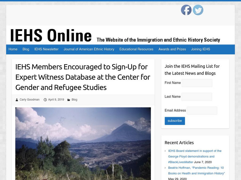
Iehs: Expert Witness Database at the Center for Gender and Refugee Studies
This article focuses on the need for expert witnesses which is growing as immigration judges are requiring more and more evidence to back claims made by asylum seekers. The Center for Gender & Refugee Studies (CGRS) at the University...
Other
History Today: Native Americans and the Federal Government
Andrew Boxer traces the origins of a historical issue still as controversial and relevant today as in past centuries. At the start of the twentieth century there were approximately 250,000 Native Americans in the USA - just 0.3 per cent...
A&E Television
History.com: The Inuit Woman Who Survived Alone on an Arctic Island After a Disastrous Expedition
In the early 1920s, 25-year-old Ada Blackjack survived two years on the frigid Wrangel Island after a failed expedition to claim the island for Canada. Wrangel Island sits north of the Siberian coast in the harsh Arctic waters of the...
Khan Academy
Khan Academy: Approaches to Knowledge
An article addressing how knowledge is acquired from different media formats. The article also discusses how scholars from the past asked questions about knowledge and launched their own investigations.
Curated OER
Etc: Atlantic Coast Development, 1650 1695
A series of maps showing the development and colonial claims of the northern Atlantic Coast between 1650 and 1695. The maps are color-coded to show charter colonies, proprietary colonies, and the royal colonies. The map from 1650 shows...
Curated OER
Educational Technology Clearinghouse: Maps Etc: The Early United States, 1790
A map of the United States in 1790 showing the territorial claims of the states at the time, and the British and Spanish possessions and territory disputes. The map shows the frontier lines or extent of settlement from the coast of Maine...
Curated OER
Etc: The Alaskan Boundary Dispute, 1825 1903
A map of the northern Pacific coastland of North America showing the territorial dispute of the Alaska boundary from the Anglo-Russian Treaty of St. Petersburg in 1825 that established the British claims, the purchase of the area by the...
Curated OER
Etc: Maps Etc: European Possessions of Africa, 1906
A map of Africa after the Berlin Conference of 1885, which established the European colonial territory claims on the continent. This map shows the Belgian, British, French, German, Italian, Portuguese, and Spanish claims, and the Turkish...
Curated OER
Etc: Alaska Boundary Controversy, 1867 1903
A map of southeastern border of Alaska and Canada showing the area of boundary dispute and the boundary established by the Hay-Herbert Treaty between Britain and the United States in 1903. The map shows the coastline and fjords of the...


