Other
Himalayas: Travel Guide
Detailed and thorough information about the Himalaya Mountains. Learn all about this mighty mountain chain and its diverse environment.
Other
Mountain Institute: Learning About Mountains, Explore Mountains
The Mountain Institute provides information on three areas: Andes, Appalachians, and the Himalayas. Find resources on conservation, the mountain ecosystems, and the culture of the areas.
Curated OER
Himalaya Mountains
Detailed and thorough information about the Himalaya Mountains. Learn all about this mighty mountain chain and its diverse environment.
PBS
Pbs Lesson Plan: Bhutan: The Last Shangri La: How the Himalayas Were Formed
Science website from PBS that teaches the basics of mountain formations in relation to the Himalayas and Bhutan. Includes graphics & suggested use of a peanut butter & jelly sandwich!!!
Curated OER
Himalaya Mountain
Detailed and thorough information about the Himalaya Mountains. Learn all about this mighty mountain chain and its diverse environment.
Khan Academy
Khan Academy: Introduction to the Himalayas
The Himalayas are the highest mountain ranges in the world, and from them flow the major rivers of Asia. The kingdoms of Nepal and Bhutan are located along the Himalayan ranges, and the Tibetan plateau lies to their north. Although the...
PBS
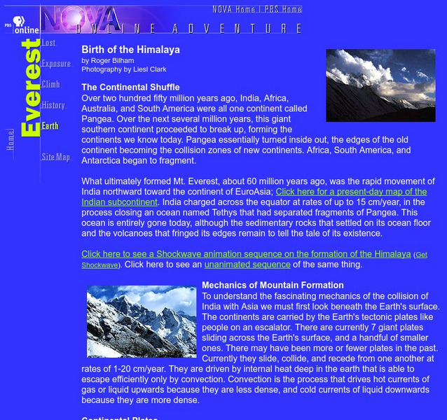
Nova Online: Everest Birth of the Himalaya
Use this site to learn more about the tallest mountain in the world. This page is part of an entire site dedicated to Mount Everest.
Curated OER
Himalayas
This site from Mountains Magnificent for learning about the culture, trails, and atmosphere of the Himalaya Mountains.
Curated OER
Pilgrimage in Himalayas, Himalaya Travel, Himalaya Tour, Tourism in Himalayas
Detailed and thorough information about the Himalaya Mountains. Learn all about this mighty mountain chain and its diverse environment.
Curated OER
Himalayas Adventure Activities, Travel to Himalayas, Himalayas Tours
Detailed and thorough information about the Himalaya Mountains. Learn all about this mighty mountain chain and its diverse environment.
Curated OER
Holiday in Himalayas
Detailed and thorough information about the Himalaya Mountains. Learn all about this mighty mountain chain and its diverse environment.
Curated OER
Educational Technology Clearinghouse: Maps Etc: Mountain Ranges of Asia, 1885
An orographic map of Asia from 1885 showing the major mountain systems, plateaus, and plains, rivers, lakes, and coastal features of the region. This map is color-coded to show general elevations, with green representing lowlands and...
Curated OER
University of Texas: Shaded Relief Map of India
On this relief map of India from the Perry Castaneda Collection, you can easily see the major physical features of India along with the major cities and the states.
Curated OER
The Himalayas
Devoted to the hundreds of mountain temples. Discusses many of the shrines in the context of ancient Indian culture.
Curated OER
Himalayan Range
Detailed and thorough information about the Himalaya Mountains. Learn all about this mighty mountain chain and its diverse environment.
Khan Academy
Khan Academy: Introduction to China
Much of China, a country slightly larger than the continental United States, is hilly or mountainous. To its east lies the Pacific Ocean; to its south thick jungles. Mountains in the southwest connect in the west with the Himalayas,...
Khan Academy
Khan Academy: What Is Asia?
"Asia" is a term invented by the Greeks and Romans, and developed by Western geographers to indicate the land mass east of the Ural Mountains and Ural River, together with offshore islands such as Japan and Java. Culturally, no "Asia"...
Other
The Cryptid Zoo: Yeti
There seems to be some confusion around the various legends of the Yeti. Usually the "sightings" refer to a large ape-man that wanders in the snowy heights of the Himalaya Mountains. Fact or fiction? This site offers some thoughts.
BBC
Bbc Newsround: All Climbing on Mount Everest Stops
Brief article reports on the suspension of climbing on Mount Everest following a tragic avalanche.
Curated OER
Educational Technology Clearinghouse: Maps Etc: Land Elevations of Asia, 1906
A map from 1906 showing the general land elevations of Asia. This map is color-coded to show lands below sea level in purple, lowlands in green, areas above 1,000 feet above sea level in yellow-buff, and above 4,000 feet in red-buff. The...
Curated OER
Educational Technology Clearinghouse: Maps Etc: Orographic Chart of Asia, 1891
A base map from 1891 showing the mountain systems of Asia. The map shows highlands in white, lowlands as shaded, and shows major mountain ranges with heavy black lines. Major rivers are shown. The map is keyed to show the Himalaya...
Curated OER
Etc: Maps Etc: Elevations of the Asian Continent, 1912
An orographic map of Asia from 1912 showing average elevations and land features of the region. The map uses color-contouring to show land elevations from depressions below sea level to above 12,000 feet. Offshore fathom contour lines...
Curated OER
Educational Technology Clearinghouse: Maps Etc: British India, 1744 1774
A map of British India during the reign of King George II (1727-1760) and British Major-General Robert Clive's campaigns in India (1744-1774). The map shows Calcutta as the capital at the time, and shows the territory of Bengal extending...


