Curated OER
Mapping Districts
Young scholars use maps to learn about the U.S. Census. In this 2010 Census lesson plan, students visualize census data on maps, use map keys to read population maps, and explore the concept of population density.
Curated OER
Outline Map of Guam
In this outline map of Guam worksheet, student see a black line map of the country with the capitol city of Agana labeled on it. There are no questions to accompany the map.
Curated OER
Past Meets Present
Third graders examine coins to become familiar with architectural structures. In this past meets present activity, 3rd graders research and complete worksheets on Guam. Students combine their group research into pieces of the...
Curated OER
Magellan
Students identify the route of Magellan's voyage. In this map skills instructional activity, students use a globe to identify various coordinates where Magellan traveled.
Curated OER
Geography of the United States
Students examine the population growth of the United States. In this Geography lesson, students construct a map of the fifty states. Students create a graph of the population of the USA.
Curated OER
What Was South Carolina's Role in the Spanish American War?
Seventh graders investigate the role of South Carolina in the Spanish American War. In this imperialism lesson, 7th graders analyze primary documents and photographs, in collaborative groups, to determine how the state was involved in...
Curated OER
Transport, Past and present
Learners view the reverse side of coins and discuss vehicles shown. in this past and present transportation lesson, students complete worksheets matching current and past transportation.
Curated OER
Imperialism and Expansion: Part 1
Young scholars explore the era of imperialism and expansion of the United States. In this American history lesson, students play a game regarding the U.S. attempts to expand the nation in the late 1800s and early 1900s.
Curated OER
Lincoln Home National Historic Site: A Place of Growth and Memory
Eighth graders study the history of Lincoln's home. In this American History lesson, 8th graders examine artifacts from his home to learn about his beliefs. Students participate in a webquest on Lincoln's home.
University of Texas at Austin
Perry Castaneda Library Map Collection: u.s. Maps
At this site find any type of map on the U.S. and any of its states here. Great site for teachers to print out maps to use in the classroom.
Nations Online Project
Nations Online: Guam
Offers a virtual destination guide and profile of the Micronesian island of Guam, background details, and numerous links to comprehensive information on the island's culture, history, geography, economy, environment, population, news,...
Encyclopedia of Earth
Encyclopedia of Earth: Guam (United States)
The Encyclopedia of Earth provides an overview of Guam (United States), including its geography, natural resources, history, government, economy, and much more. Maps and images are also included, along with sources used to create the entry.
Other
Asia Society: Policy
A comprehensive storehouse of all types of information on Asia, both current and past: maps and statistics, Asian food, travel guides, photographs, articles, timelines, and more. Asia Source is the work of the Asia Society, a national...
Library of Congress
Loc: Philippines and the War
At this site from the Library of Congress, you can take a look at this page for links to Philippine maps, a chronology for the Philippines and Guam during the war, and a collection of photos.
Other
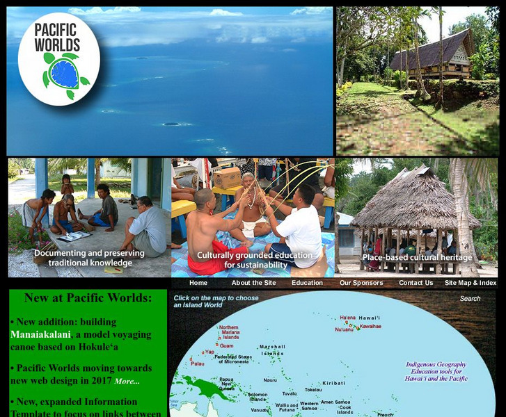
Pacific Worlds
Choose a location on the map and take a journey to a Pacific Island to gain a better understanding of its culture, geography, and environment. Some islands to explore include Hawaii, Guam, Yap, and Palau.


