Illustrative Mathematics
Global Positioning System II
Intricate details of a modern technology that many of us take for granted in our phones, computers (and some cars) are laid bare in a short but deeply investigative activity. The math behind a seemingly simple GPS device...
Curated OER
GPS Art
Students design their own logo or picture and use a handheld GPS receiver to map it out. They write out a word or graphic on a field or playground, walk the path, and log GPS data. The results display their "art" on their GPS receiver...
Curated OER
GPS Scavenger Hunt
Students go on a GPS scavenger hunt. They use GPS receivers to find designated waypoints and report back on what they found. They compute distances between waypoints based on the latitude and longitude, and compare with the distance the...
Curated OER
Space Science:Wherever You Go, There You Are
Students explore navigation principles by observing, measuring, and interpreting data to determine locations. Using a compass, compass rose, and a transit, they plot courses and discover the workings of the Global Positioning System...
Curated OER
GPS Receiver Basics
Students practice using a GPS receiver. They walk in different directions and monitor their progress on maps. They enter specific locations and use information given to them to get them back to their original locations.
Curated OER
Where in the World?
Students explore how GPS works, the mathematics behind the technology, and how GPS is used. They find positions in one and two dimensions, and participate in a WebQuest that explores how math is used to find a location on Earth using GPS.
Curated OER
TE Lesson: Navigating at the Speed of Satellites
Students study the basic concepts of the Global Positioning System and how it increases the accuracy of navigation. They examine trilateration and how the speed of light is used to calculate distances.
Curated OER
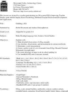
Gridding a Site
Students make observations of effigy mounds and record them in a notebook. In groups, they must determine the scale of measurement and create their own grid to scale part of the Effigy Mounds National Monument. They also practice using...
Curated OER
Trouble in the Troposphere
Students Use data sets from MY NASA DATA to produce graphs comparing monthly and yearly ozone averages of several U.S. cities. They analyze and evaluate the data and predict trends based on the data. In addition, they discuss and...


