Hi, what do you want to do?
Curated OER
Eye From the Sky
Young scholars are introduced to the concept of aerial perspective and scale. Students will use satellite technology to view their neighborhoods and sketch the area surrounding their schools. They will take part in a neighborhood walk to...
Curated OER
Migration and Refugees
Students explore issues relating to refugees. Using the internet, they gather facts about refugees. Students discuss the range of situations which turn citizens of one country into refugees of another.
Curated OER
Visit My Class Wikis
Students visit the links on the blog site to learn about class wikis. In this technology integration lesson, students visit the links to view class wikis.
Curated OER
Sustainable Development
Twelfth graders explore the difference between natural and man-made environments. In this renewable resources instructional activity students evaluate the economic importance of resources.
Curated OER
Virtual Field Trip of Japan
Students explore Japan and Japanese culture via GoogleEarth and United Streaming Video. This lesson plan is intended for a middle-level social studies class and includes a wonderful lesson plan extension idea and a video explaining...
Curated OER
Hand And Foot Print Reindeer
Students create reindeer out of paper cut-outs of their own hands and feet in this fun and quick Art activity for the early-elementary classroom. The lesson may be accomplished as an individual or small group (partner) project.
Curated OER
Stand Up Bunny
Students create "stand-up bunnies" for classroom display in this early-elementary Art instructional activity ideal for the spring months. A bunny template and design ideas are included to aid in the teaching process of this fun and...
Curated OER
Tie Dye Eggs
Students create "tie-dye" easter eggs in this easy elementary school lesson plan. Materials needed include paper towels, food coloring, eggs, and rubber gloves. This Easter lesson plan can be accomplished in 30 minutes with extra time...
Curated OER
Looking Upwards: Greenroofing & Rooftop Gardening
Learners explore the role of green roofing and rooftop gardening in contemporary architectural design. They then conduct collaborative research to learn about the history, process, science, and environmental impact of green roofing....
Climate Literacy
Clean: Investigating Weather and Climate With Google Earth
In this activity, students will investigate the change in global temperature by analyzing data on Google Earth for 13 different cities. Students will then interpret the climate patterns for those cities to make conclusion about the...
Climate Literacy
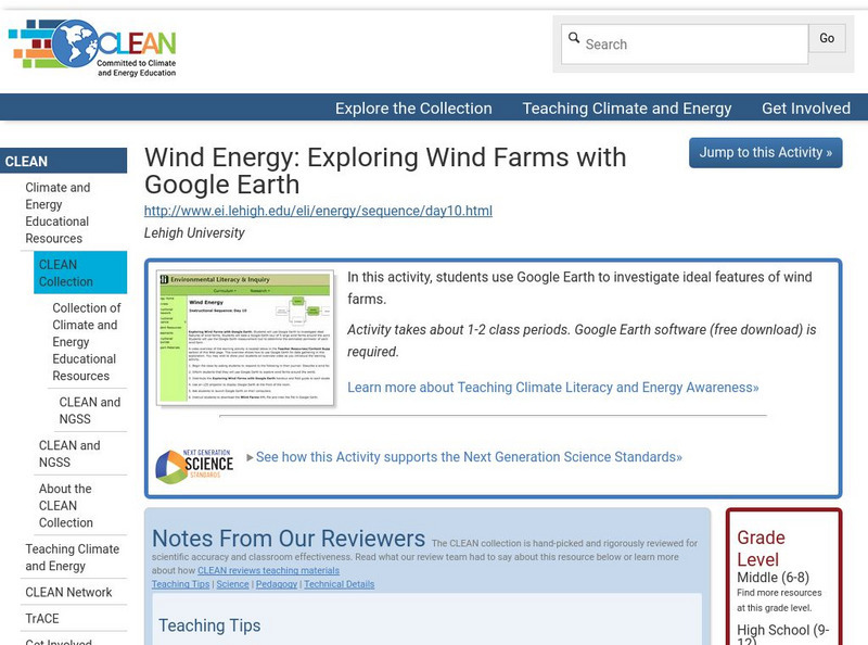
Clean: Wind Energy Using Google Earth
In this activity students will use Google Earth to investigate ideal features of wind farms and they will use the Google Earth measurement tool to determine the estimated perimeter of each wind farm.
Alabama Learning Exchange
Alex: Jet, Set, Go! Travel Google Earth in Ben's Dream
This lesson uses the picture book by Chris Van Allsburg Ben's Dream with Google Earth to highlight ten major landmarks of the world. After reading and discussing Ben's Dream, students "travel" to each location using the free software...
Climate Literacy
Clean: State Electricity on Google Earth: How Many Solar Panels Would It Take?
This activity addresses the Energy Awareness Principle by having students calculate electricity use by state, and also determine how much land would be required to replace all sources of electricity with solar panels considering costs...
Alabama Learning Exchange
Alex: Run Around the World
Lesson where students utilize Google Maps and Google Earth to create a three mile running course from their houses, addressing any safety concerns that arise (large intersections, availability of sidewalks, etc.). Detailed instructions...
Google
Cs Education at Google: Cs First: Create Your Own Google Logo
A set of three activities where students learn how to use the programming language Scratch to create Google logos, including ones for Valentine's Day and one for Earth Day.
TeachEngineering
Teach Engineering: Projections and Coordinates: Turning a 3 D Earth Into Flatlands
Projections and coordinates are key advancements in the geographic sciences that allow us to better understand the nature of the Earth and how to describe location. These innovations in describing the Earth are the basis for everything...
Alabama Learning Exchange
Alex: Tech Tours Using Google Earth
Grab your passport and head around the world as K-2 learners become reporters using Google Earth and podcasting to learn and share about maps, globes, people and places around the community, state and world. Tools featured include:...
Google
Google for Education: Applying Discrete and Continuous Data in a Map
Using various tools, student will be able to analyze and calculate the amount of urban open space available in their city.
Curated OER
Google for Education: Children and Technology: Google Sketch Up
Using Google SketchUp build a house or upgrade your school building to be the tallest and the most colorful in the world! Then place your buildings on Google Earth and fly over them with Google Earth to see what they look like.
Science Education Resource Center at Carleton College
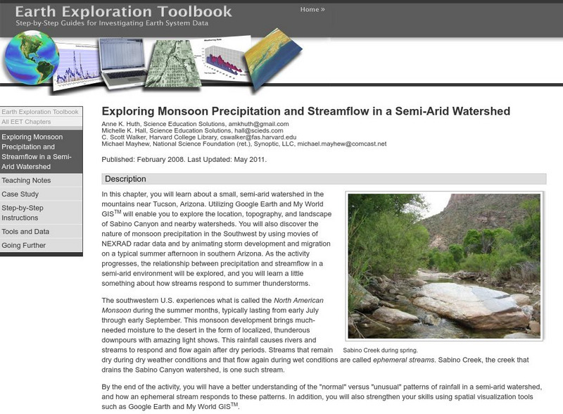
Serc: Exploring Monsoon Precipitation and Streamflow in a Semi Arid Watershed
Young scholars use both My World GISTM and Google Earth maps to investigate streamflow and precipitation relationships in the vicinity of Tucson, AZ.
Science Education Resource Center at Carleton College
Serc: Exploring Air Quality in Aura No2 Data
This activity illustrates how data can be imported into Google Earth for visualization and interpretation. Students are introduced to air quality as it relates to population density and topography.
Science Education Resource Center at Carleton College
Serc: Lab 2: What's a Watershed?
Students build a physical model to simulate watershed features, then use Google Earth software to tie the model to a real place. By exploring several layers of map-based images and data, students learn the complexity of a watershed and...
Science Education Resource Center at Carleton College
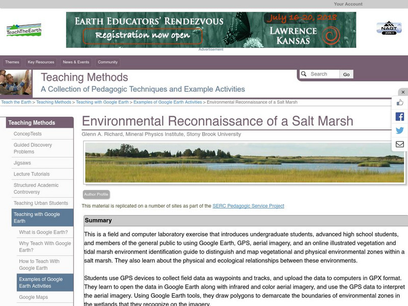
Serc: Environmental Reconnaissance of a Salt Marsh
A field and computer laboratory exercise that introduces learners to using Google Earth, GPS, aerial imagery, and an online illustrated vegetation and tidal marsh environment identification guide. Students are challenged to distinguish...
Nature Conservancy
The Nature Conservancy: Introduction to Sustainable Forestry
In this lesson students use an interactive with Google Earth to identify forests that have been logged selectively with those that have not. For an outdoor activity students create acomprehensive list of all the tree species in their...
Other popular searches
- Google Earth Landforms
- Google Earth Scavenger Hunt
- Google Earth North Pole
- Google Earth Game
- Social Studies Google Earth
- Geography Google Earth
- Google Earth Lesson Plans
- Google Earth and Regions
- Google Earth Geology
- Google Earth Journalism
- Google Earth Glaciation
- Google Earth Ratings=3


