Hi, what do you want to do?
Curated OER
Leif Erikson Day
Leif Erikson Day lessons breathe life into social studies classroom explorations.
Curated OER
Civil War Prison Camps
Fourth graders work with a partner to create a puppet show that demonstrates the condition of the prisoners in Andersonville, Georgia during the Civil War.
Space Awareness
How Light Pollution Affects the Stars: Magnitude Readers
Did you know light can decrease visibility? Light pollution absolutely makes it more difficult to see stars. Scholars build a simple magnitude reader to determine the magnitude of stars. They use these data to estimate the impact of...
Curated OER
Ticky Plans His Trip to Antarctica to See Tacky
First graders participate in creative problem solving activity to get from Utah to the Atlantic Ocean.
Curated OER
The Plains Indians
Students have a better understanding of another culture other than their own. This help them to see that there were other people living in this region before us.
Curated OER
Community Centered Neighborhood Development
Ninth graders explore the culture of the neighborhood. In this Social Studies lesson, 9th graders examine the different development sites in their community. Students research the zoning regulations.
Curated OER
Environmental Justice
Students explore the concept of environmental stewardship. In this Gulf Oil Spill lesson, students discuss how environmental pollution affects those how live in poverty at a higher rate than those with more affluence. Students read...
Curated OER
Cartogram of the Great Compromise
Students create cartograms of populations during 1790.
Curated OER
Roman Archy
Third graders use Google Earth to examine Roman architecture. In this ancient Rome lesson, 3rd graders visit the noted URLs to look at examples of Roman architecture. Students work in teams to examine data about the structures.
Curated OER
Learning the 50 States
Students become familiar with all 50 states over the course of ten days.
Curated OER
All Things Chinese
Fourth graders bring in items or pictures related to Chinese culture. The items are displayed in the room as a museum exhibit.
Curated OER
Climate in Our Back Yard
Students construct a "A Year in Pennsylvania" poster on which they creatively describe at least three examples of how the climate they live in shapes their lives during every season of the year.
Curated OER
A Model of Earth's Tectonic Plates
Students build a model of the Earth showing tectonic plate boundaries. The pattern for the model is provided in the lesson. This is a very useful hands-on component for a lesson about geology or earthquakes.
Curated OER
"my Dear Little Boys..." Using Wwii Primary Documents: a Letter Home From the War
Students read letters written by soldiers during World War II in order to analyze the soldier's feelings about the war. They explain how these primary sources teach appreciation for the World War II soldier's experiences.
Other
Reach the World: Geogames Build Planet Earth
Practice your mapping skills with Build Planet Earth! This animated 3D globe challenges players to locate the Poles, continents, countries, and cities. Colorful graphics and sound effects as well as a teacher's lesson plan are included.
City University of New York
Virtual Geology: Maps Home Page: Topic and Quiz Menus
This collection of resources cover map topics and includes quizzes for improving map and globe usage skills.
SMART Technologies
Smart: Final Project Map Skills
This lessons explores the different ways we can view our world along with the different parts of a map or globe.
Other
Jayzeebear.com: The World Online Map Game
Want a fun way to practice map skills and to learn geography? This colorful interactive online game is great for students.
National Geographic
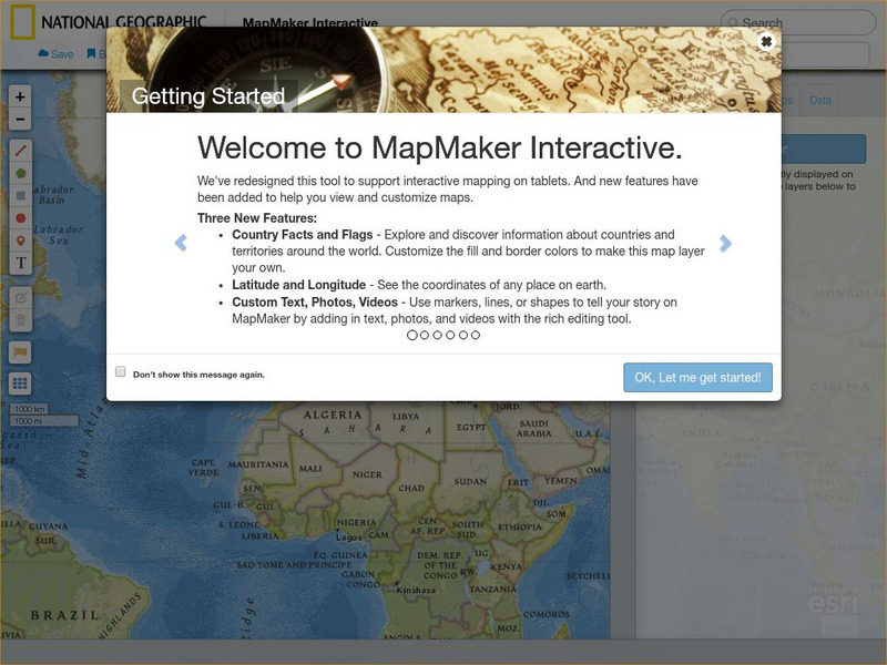
National Geographic: Mapmaker Interactive
Interactive map maker in which students can manipulate world maps adding layers and data with multiple sources of information.
Social Studies for Kids
Social Studies for Kids: Latitude and Longitude
A collection of latitude and longitude mapping activities ranging from pin-pointing exact locations on the globe to researching the history behind this basic geography concept.
Read Works
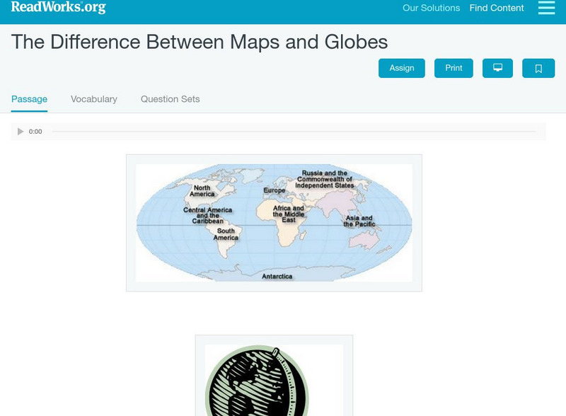
Read Works: The Difference Between Maps and Globes
[Free Registration/Login Required] This informational text passage shares the difference between maps and globes. This passage is a stand-alone curricular piece that reinforces essential reading skills and strategies and establishes...
Geographyiq
Geography Iq
Detailed geographical information on any country is available at this site. Within the World Map section, you can get facts and figures about each country's geography, demographics, government, political system, flags, historical and...
Institute for Dynamic Educational Advancement
Web Exhibits: Sir Sanford Fleming (1827 1915)
Here you will find the story of how and why time zones came about and the Canadian who developed the system that has become so important around the world. Be sure to read the "Incidents and Anecdotes" section to find interesting facts...
ClassFlow
Class Flow: Maps Globe Skills
[Free Registration/Login Required] This flipchart discusses landforms, mapping and the Compass Rose. Students can practice using Cardinal Directions and use Activotes.


