Hi, what do you want to do?
National Geographic
National Geographic: Gis in Action
Use maps to solve problems and help animals. Click on an animal to learn important facts, then click on the map to see layers of different kinds of information.
Other
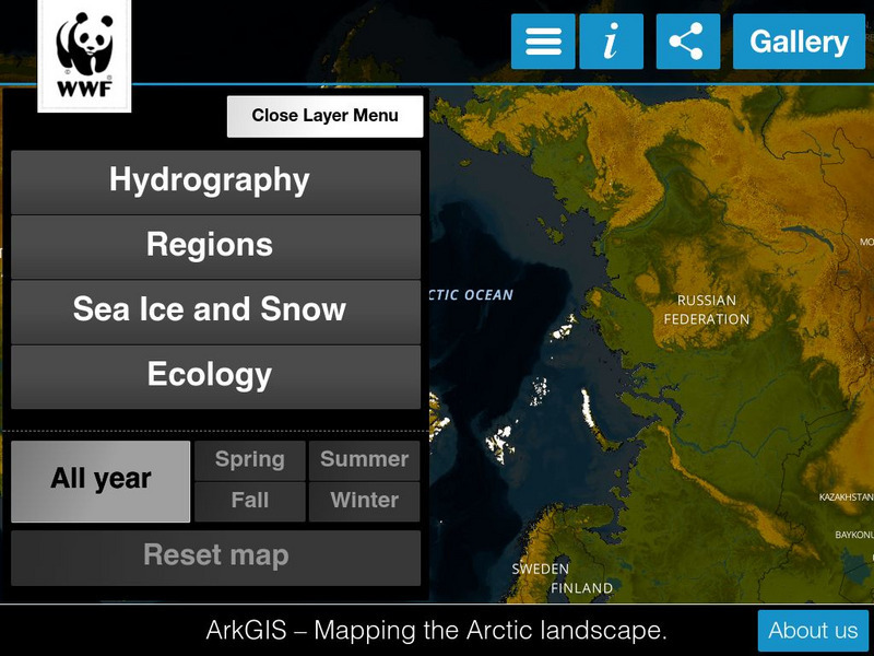
Ark Gis: Exploring the Arctic
Interactive mapping platform that combines and integrates existing data about the environment and human activity in the Arctic.
Other
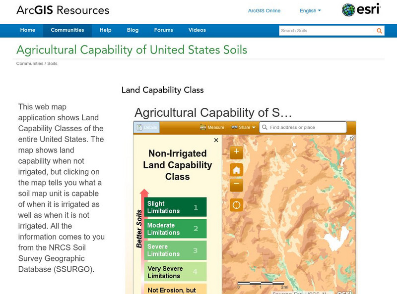
Esri: Arc Gis: Agricultural Capability of United States Soils
A sophisticated map tool that shows the capability of soils for agriculture, with or without irrigation, for the whole of the United States. Enter a location and a color coded map is shown, along with a key for interpreting it. The...
Other
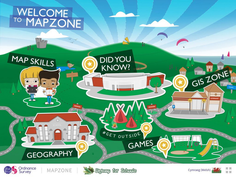
Ordnance Survey: Map Zone
All kinds of fun and interesting ways to learn about maps and acquire mapping skills.
52 Stairs Studio
Scribble Maps
Easily draw on maps and then share them with others. Simple enough to be used by students but powerful enough to be used by GIS professionals.


