US Geological Survey
Geographic Information Systems
This is an extensive resource explaining what Geographic Information Systems (GIS) are, how they work, applications of GIS, and GIS through history.
TeachEngineering
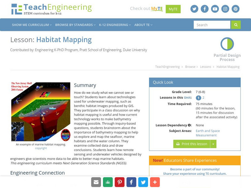
Teach Engineering: Habitat Mapping
The marine environment is unique and requires technologies that can use sound to gather information since there is little light underwater. In this lesson, the middle schoolers will be shown benthic habitat images produced by GIS. These...
Science Buddies
Science Buddies: Science Careers: Mapping Technician
Mapping technicians, also called surveying technicians, as their name suggests, use many different tools to make maps of many kinds. This Science Buddies site lays out the requirements needed to become a mapping technician, as well as...


