Curated OER
Welcome to the Rain Forest
Fourth graders become aware of the worlds rain forest and study the plants of the rain forest and the adaptations they have made to survive in the environment.
Curated OER
A Picture Is Worth A Thousand Words
Students complete a population pyramid for a city they are studying. They may complete a population pyramid for their city and another one for the country in which the city is located. They compare and contrast the results of the two...
Curated OER
Social Studies: Canadian City Comparison
Students research Canadian population distribution while comparing and contrasting the quality of life in two cities. They discuss issues and problems that cities and rural towns face. Students apply various methods, such as graphs and...
Curated OER
Introduction to the Barnegat Bay Estuary
Students research estuaries. In this estuaries lesson, students discuss the differences in a bay and an ocean. Students watch a PowerPoint of the properties of the estuaries and geography of Barnegat Bay. Students complete a worksheet...
Curated OER
Affects of Geography on Colonial Cultures
Sixth graders examine the effects of geography on the development of culture. They discuss how geography can affect the lifestyles and development of a society's culture. Students examine the geography and climate of New England and the...
Science Education Resource Center at Carleton College
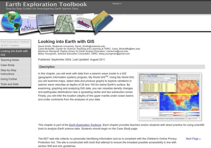
Serc: Looking Into Earth With Gis
Multi-activity activity where students will work with data from a seismic wave model in a GIS (geographic information system) program. They will examine maps, select data, and produce graphs to explore variations in seismic wave...
Science Education Resource Center at Carleton College
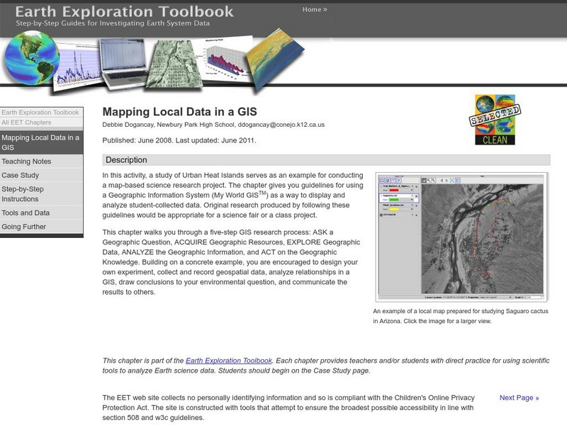
Serc: Mapping Local Data in a Gis
In this activity, students will learn how to conduct a map-based science research project using a Geographic Information System (GIS). They will design an experiment, collect and record geospatial data, analyze geospatial relationships...
National Geographic
National Geographic: The Politics of Place Naming
Students use an online geographic information system (GIS) to uncover the geographic and social context of streets named after Martin Luther King, Jr. They map street locations to identify regional patterns in honoring King, consider...
Science Education Resource Center at Carleton College
Serc: Using Gis to Map Emergency Response to Municipal Flooding
In this lesson learners will work with municipal data and computer mapping to determine the priorities of emergency response to flooding in a local town. This can be used as a lab activity or as a group or individual project, and can be...
Science Education Resource Center at Carleton College
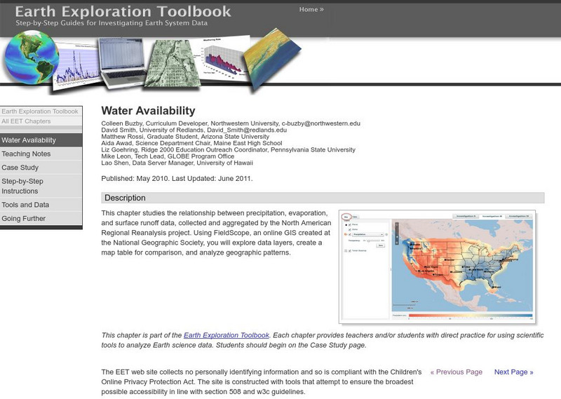
Serc: Water Availability
This instructional activity helps students discover the relationship between precipitation, evaporation, and surface runoff data. Using FieldScope, an online GIS created at the National Geographic Society, students will explore data...


