Other
Esri What Is Gis?
This site is provided by ESRI, a leading GIS software developer. It explains how GIS works and ways in which it is used.
American Geosciences Institute
American Geosciences Institute: Earth Science Week: Exploring 'Wild' Places With Gis
This lesson plans uses Geographic information systems (GIS) technology to explore the local geography.
American Geosciences Institute
American Geosciences Institute: Earth Science Week: Analyzing Hurricanes Using Web and Desktop Gis
In this activity, students research hurricane data to discover their behavior and patterns. They map them across decades to see whether their frequency is increasing. They study Hurricane Andrew and investigate the relationship between...
TeachEngineering
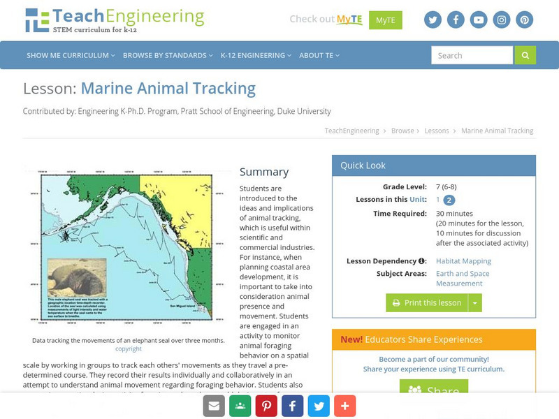
Teach Engineering: Marine Animal Tracking
This lesson plan engages students in an activity to monitor animal foraging behavior on a spatial scale. The students will break into groups and track each other's movements as they move through a pre-determined course. The results will...
Ibis Communications
Eyewitness to History: Tokyo Rose
Students investigate ?Tokyo Rose? the name given by American GIs to nearly a dozen women of American descent who broadcasted propaganda for the Japanese during World War II. The resource consists of an audio clip of Tokyo Rose broadcasts...
Other
Lichenland: The Fungus Meets an Alga
This effective site explains how a lichen is formed and then delves into the sensitivity and usefulness of lichens.
Other popular searches
- Gis Data
- Gis Map
- Gis Software
- Gis Environment
- Gis and Gps Technology
- Gis Gps
- Gis and Remote Sensing
- Gis Data Map
- Geography, Gis
- Gis Lesson Plans
- Gps/gis
- Gis Water


