Hi, what do you want to do?
Curated OER
Voices at Whisper Bend
High schoolers examine life in Pennsylvania during and after World War II. Using primary source documents, they compare the unity of the United States during World War II and the Iraq War. They also discover how citizens adapt to the war...
Curated OER
It's A Jungle Out There!
Students report on an animal according to its appearance, habitat, and characteristics.
Curated OER
Visit My Class Wikis
Students visit the links on the blog site to learn about class wikis. In this technology integration lesson, students visit the links to view class wikis.
Curated OER
Sparta and Athens
Sixth graders study Ancient Greece. In this Ancient Greece instructional activity, 6th graders complete 16 lessons to learn about Ancient Greece. Students complete a quiz for assessment.
Curated OER
Great Explorers
Young scholars research an explorer and present a multimedia presentation on the explorer. In this United States explorers lesson, students watch a video about Lewis and Clark. Young scholars use Google Earth to study their journey and...
Curated OER
Introduction to the United States Map
Students identify the United States of America and it's states on a map. In this mapping lesson, students examine a globe and find the United States as well as a few land marks (Florida and the Great Lakes). Students then look at a...
Quia
Quia: Geography World: Landform Concentration
Play this fun game of Geography Concentration to practice your geography vocabulary and increase learning. After each game the cards change and new words and definitions are introduced. Users must enable JavaScript.
Charles I. Kelly and Lawrence E. Kelly
Many Interesting Things: Basic Esl Vocabulary Word Lists
Collection of word lists in a variety of categories such as baseball, geography, cooking, and transportation. Learning activities include word finds, hangman, and even typing practice.
Vocabulary University
My vocabulary.com: Geography
This page offers a variety of vocabulary puzzles and activities using 52 vocabulary words pertaining to Geography. It also provides an extensive vocabulary word list for Geography and lesson plan ideas.
Quia
Quia: Geography World: Earth's Physical Features Games
This site contains matching, concentration, flash cards, and word search games from landform vocabulary. Excellent games which contain more than one version of each game to reinforce all vocabulary taught.
ClassFlow
Class Flow: Greek Vocabulary
[Free Registration/Login Required] This flipchart lesson contains several activities. History - students understand the chronology of Greek history and can organize events and people into major categories to explain historical...
Quia
Quia: Geography World: Earth's Surface Matching Game
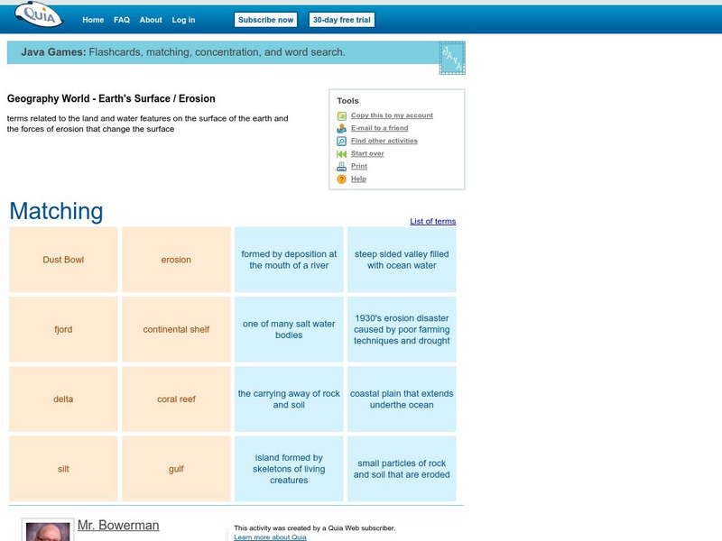
Match the vocabulary term with the definition to reinforce and practice your vocabulary terms. View the list of terms before beginning to become familiar with the words and improve your score. Users must enable JavaScript.
TES Global
Tes: Geography Key Words
[Free Registration/Login Required] This resource provides a collection of 31 terms related to vocabulary about geography.
Knowledge Share
Super Kids: Hangman
Use this interactive site to enhance students' spelling and vocabulary while refreshing their memories in history, geography, language, science, and entertainment. It is available to use on line or you can purchase leveled apps for the...
Other
Boggle's World Esl: Word Searches
A collection of more than 40 printable word search activities designed for ESL students. Searches are organized by level of difficulty (easy, intermediate to difficult) and cover a wide variety of themes, e.g., colors, verbs, the five...
ClassFlow
Class Flow: How to Babysit an Orangutan
[Free Registration/Login Required] This flipchart is based on the story, How to Baby-sit and Orangutan. Focus on the spelling words, vocabulary, some geography of the location of orangutans. This is a fun flipchart that your students are...


