Hi, what do you want to do?
Other
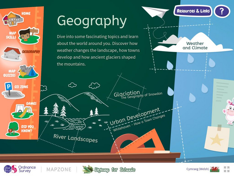
Ordnance Survey: Mapzone: Geography
Take a look outside, at the landscape. Explore the world, the features of the earth, the impact of weather on the earth through this resource. Discover weather, climate, glaciation, rivers, and urban development.
Annenberg Foundation
Annenberg Learner: Teaching Geography: North America
Media-rich site that explores North America. The first part of this workshop focuses on the general human behavior in urban settings looking for and interpreting those patterns. The second portion draws attention to urban issues such as...
Sophia Learning
Sophia: Urban Models in the Real World
By using Google Earth and city road maps, learners will compare the layout of their city to one of the three North American urban models and see which one is the best fit.
Read Works
Read Works: How City Residents Use Urban Farms
[Free Registration/Login Required] An informational text about people living in urban areas who are finding room to grow gardens on empty lots. A question sheet is available to help students build skills in reading comprehension.
Annenberg Foundation
Annenberg Learner: Teaching Geography: European Union
Explore the European region and consider what makes a successful city and how effective is supranationalism? A video features Berlin and Amsterdam for urban development and then looks into the concept of supranationalism in the European...
Burke Museum
Burke Museum: Waterlines: Discover & Explore Seattle's Past Landscapes
Seattle is one of the most dramatically engineered cities in the USA. This rich interactive website enables people to see how Seattle's various landscapes have changed over time. The site starts out with an interactive map of the Puget...
University of Texas at Austin
University of Texas: Human Environmental Interactions [Pdf]
Inspired by Hemispheres' 2004 Teachers' Summer Institute, People and Place: Human-Geographic Relations, this curriculum unit was designed to address human adaptation to and modification of the environment. How have humans adjusted to...
Curated OER
Information About Ireland: An Outline Geography of Ireland
A general description of Ireland, including the physical landscape, rivers, climate, vegetation, urban settlement, manufacturing, agriculture, and others.
Columbia University
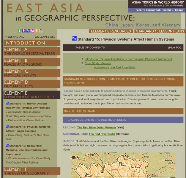
Columbia University: East Asia in Geographic Perspective
Humans have a great capacity to accommodate to changes in physical environments. Flood, drought, and even global warming lead pragmatic peasants and farmers to assess current ways of operating and seek ways to maximize production....
Other
Map: Imperialism and the Balance of Power
World maps of the Colonial Empires of 1914 as well as their revenues during that time period. There are also maps depicting urban growth, type of government, wars and atrocities, and living conditions of the world in 1900.
University of Illinois
University of Illinois Extension: Animals Past and Present
In English and Spanish this site deals with animal life in Illinois past and present. With sections on dinosaurs, animals in Illinois 65 million years ago, animals in Illinois 10 million years ago, and animals in Illinois today, this is...
Curated OER
Map: Imperialism and the Balance of Power
World maps of the Colonial Empires of 1914 as well as their revenues during that time period. There are also maps depicting urban growth, type of government, wars and atrocities, and living conditions of the world in 1900.
Curated OER
Map: Imperialism and the Balance of Power
World maps of the Colonial Empires of 1914 as well as their revenues during that time period. There are also maps depicting urban growth, type of government, wars and atrocities, and living conditions of the world in 1900.


![University of Texas: Human Environmental Interactions [Pdf] Lesson Plan University of Texas: Human Environmental Interactions [Pdf] Lesson Plan](https://static.lp.lexp.cloud/images/attachment_defaults/resource/large/FPO-knovation.png)


