Curated OER
Find Yourself with Global Positioning
Students examine different types of new mapping technologies. They use the internet to gather information about mapping and navigation. They create their own global positioning tool and defend it to the class.
Curated OER
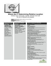
Where Am I? Determining Relative Location
Students use position words to describe where their teacher is sitting and read a story that makes use of position words. In this spatial lesson, students make a stick puppet and play Simon Says focusing on using position words in the...
Curated OER
Canada
Learners examine a variety of issues that affect the geography of Canada. In small groups they read a magazine article about a specific issue related to Canadian geography, answer discussion questions, and present a summary of their...
Curated OER
Listen to Grandfather - Say and Write Korean Words
Students create a calligraphy piece using Korean words. They use han'gul script and write with a brush after learning the words. They pay attention to line and space as they create their work of art.
Curated OER
Where Am I - Navigation and Satellites
Students explore geography by completing a navigation activity in class. In this satellite positioning lesson, students define terms such as orbit, satellite, GPS and triangulation. Students view diagrams of the Earth's orbit and...
Curated OER
GPS Treasure Hunt
Learners explore geography by participating in a treasure hunt activity. In this Global Positioning System lesson, students define the terms latitude and longitude while utilizing an electronic GPS device. Learners view a PowerPoint...
Curated OER
Should New Orleans be Rebuilt?
Students, after researching two websites dealing with New Orleans, complete a chart as they read the arguments for and against rebuilding New Orleans. They locate the evidence offered for support, analyze the geography domains and...
Curated OER
Globe Lesson 13 - When the Day Changes
Young scholars explore the patterns of day and night. In this geography skills lesson, students read brief selections and examine diagrams that note the transition of day and night around the world. Young scholars respond to the...
Curated OER
RACED Comprehension Sheet
In this race worksheet, students respond to 10 short answer questions regarding geography concepts that feature the letters of the word "raced" as mnemonic hooks.
Curated OER
Globe Lesson 12: Global Time
Students explore the concept of global time. In this geography skills lesson, students use standard meridians and the hour scale on globes to determine global time as they respond to questions in this self-directed lesson.
Curated OER
What's So Bad or Good About Conflict?
Learners of all ages discuss how conflict can be negative and positive. First, they create a class bulletin board about conflict, and provide their thoughts and connotations surrounding the word. In a class discussion, they ask questions...
Curated OER
Extreme Elevations
Seventh graders use highest and lowest points of land elevation around the world to find the differences. Sea level is zero, so students be operating with positive and negative numbers. After students find the information on the...
Curated OER
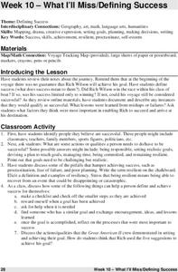
Defining Success
The class defines what it means to be successful by examining the achievements of Rich Wilson. They create headlines for a mock paper, discuss achieving personal goals, and create a scrapbook of his journey. Tip: Use this resource when...
Curated OER
Scientists Discover Giant Frog Fossil
Students examine a world map and read a news article about the discovery of a giant frog fossil. In this earth science and current event lesson plan, the teacher introduces an article with a discussion about continental drift and a...
Curated OER
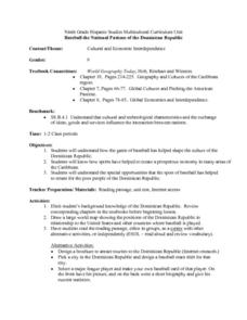
Baseball the National Pastime of the Dominican Republic
Ninth graders examine how the game of baseball has played a significant role in shaping the culture of the Dominican Republic. They analyze a world map, and read and discuss an informational handout. Students can then create a sports...
Curated OER
A Readers' Theatre for Bringing the Rain to Kapiti Plain
Second graders read and perform a reader's theater version of the story, "Bringing the Rain to Kapiti Plain." They complete a graphic organizer of cause and effect of their part in the story, look up vocabulary words on a dictionary...
Curated OER
Relative Location
First graders use landmarks to describe relative locations of a place. In this geography and mapping lesson plan, 1st graders draw picture maps of their bedrooms to show an object's location in relation to other objects. As an...
Curated OER
Country Capitals
Students locate country capitals on a world map. For this map skills lesson, students review the definition of the word country and discuss what a capital is. Students locate and label capital cities on a world map using a map marker.
Curated OER
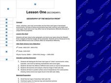
Geography of the Wasatch Front
Students identify the three main types of urban environments by learning characteristic land-cover types. They examine and analyze a thermal image of Salt Lake City. Then they predict surface and air temperatures from aerial photos.
Curated OER
Focused Learning Lesson: World Geography
Students examine the impact that humans have had on the environment and the difficulties the environment can cause. They also examine major physical changes as a result of human action or natural causes.
Curated OER
Because We Can, Should We?
Students identify a position on an issue of geographic importance and support it They read the story "By the Waters of Babylon," and write a paragraph explaining what they think the relationship between Babylon and the Biblical referene...
Curated OER
Wycinanki and Polish Folktales
Students, with the use of the Internet among various other resources, research/locate Polish folktales and re-tell the Polish folktales in their own words. In addition, they examine the art of Wycinanki, Polish paper cutting.
Curated OER
When Am I Ever Going to Use this?
Young scholars solve problems using equations and properties of integers. In this algebra lesson, students solve problems using ratio and proportion and graph their answers on a coordinate plane. They solve word problems using geometry.
Curated OER
United States Map- State Capitals
Students explore the state capitals. In this geography lesson, students use a political map to identify the state capitals and place post-it notes on various capitals.


