PBS
Amazon: South America
Map of South America in which students can use the interactive site to explore political, physical, climate and populaton features.
eTravel Photos
Travel Photos From Chile, South America
A beautiful journal of travel photos from Chile, South America taken in 2003.
eTravel Photos
Travel Photos From Columbia, South America
A beautiful photo journal taken in Columbia, South America in 2003.
eTravel Photos
Travel Photos From Brazil, South America
A beautiful photo journal of a trip to Brazil taken by Tony Costa.
eTravel Photos
Travel Photos From Venezuela, South America
A beautiful photo journal from Venezuela taken in 2003.
Lonely Planet
Lonely Planet: Map of Argentina
A basic color map of Argentina is offered at this site, with major cities identified.
Other
Languages in South America
Concise chart representing the Langages in South American. Learn about the languages for each country and the approximate number of speakers.
eTravel Photos
Travel Photos From Ecuador, South America
A beautiful photo journal taken in Ecuador in 1998.
Central Intelligence Agency
Cia: World Factbook: Regional and World Maps
Maps of major areas of the world can be downloaded here. The maps have excellent detail and are in color.
eTravel Photos
Travel Photos From Peru, South America
A beautiful photo journal of Peru taken in 2006.
University of Texas at Austin
University of Texas: Perry Castaneda Library: Brazil Maps
Presents a great collection of maps all having to do with Brazil. There are country maps, city maps, and thematic maps that cover topics such as politics, geography, economy, land use, population, climate, and more.
Other
Ecuador Pictures
A pictorial photo gallery of Ecuador that demonstrates the beauty of this small South American country. View animals, landscapes, towns, monuments, parks, the Rainforest, waterfalls, and so much more.
Curated OER
Perry Castaneda Map Collection: Latin America Map
This political map of Latin America and South America is in color and features major cities.
Other
David Rumsey Historical Map Collection
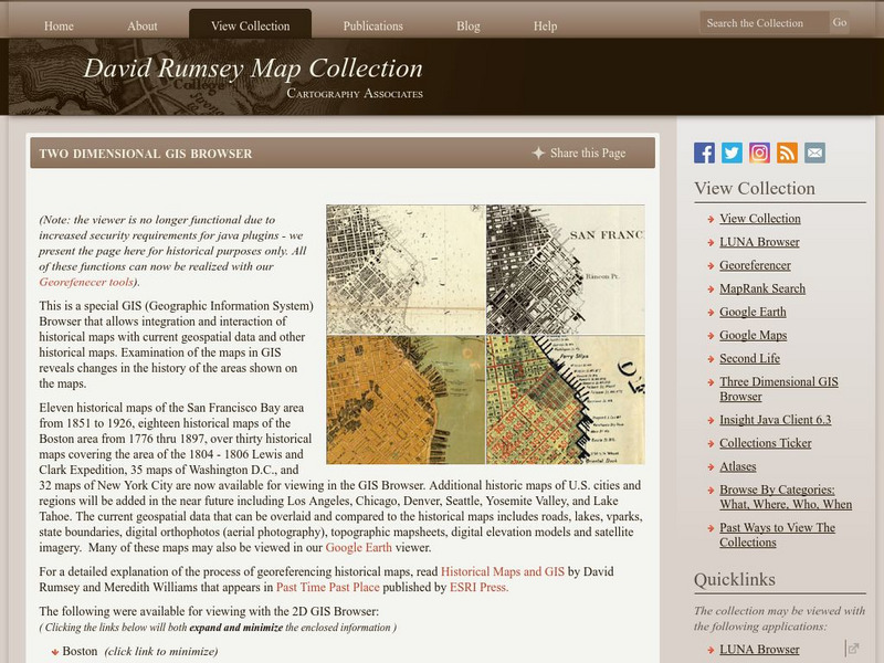
The collection of more than 150,000 maps focuses on rare 18th and 19th-century maps of North and South America, although it also has maps of the World, Asia, Africa, Europe, and Oceania. The collection includes atlases, wall maps,...
University of Texas at Austin
Perry Castaneda Library Map Collection: Venezuela Maps
This site provides several country and city maps as they relate to Venezuela.
Curated OER
Carver, Jonathan 1781, New Map of North America
"The David Rumsey Historical Map Collection focuses on rare 18th and 19th century North and South America cartographic history materials. Historic maps of the World, Europe, Asia and Africa are also represented. The collection categories...
Other
The Guyana Photo Gallery on the World Wide Web
Offers a good assortment of photographs of Guyana. Choose a picture to view from the extensive list on the left that covers a variety of subject matter.
Other
Fatbirder Birding Webring: Birds in Suriname
This fun site has a huge amount of information about every type of bird in Suriname. You can read about their habitats, veiw photos, and listen to sounds.
Curated OER
Map of Ecuador
The BBC gives information about the Latin American country of Ecuador with details on geography, culture, its leaders, and its news media. Updated in April, 2005. Check out the link to the timeline.
Curated OER
Mapa Politico argentina.jpg (112303 Bytes)
Take an exciting tour of the Patagonia region in South America in this engaging site. Students discover the history, economy, geography, climate, and people of this region. It includes maps, journal excerpts,photographs, and classroom...
Curated OER
Mapa Patagonia ing.gif (95635 Bytes)
Take an exciting tour of the Patagonia region in South America in this engaging site. Students discover the history, economy, geography, climate, and people of this region. It includes maps, journal excerpts,photographs, and classroom...


