Ducksters
Ducksters: Geography for Kids: Suriname
Kids study the geography and history of Suriname. Included on this site is the history, capital, flag, climate, terrain, people, economy, and population of Suriname.
Siteseen
Siteseen: Land of the Brave: Southern Colonies
Information and facts about the Southern Colonies of Colonial America including geography, natural resources, religion, climate, trade, and history timeline.
Adventure Learning Foundation
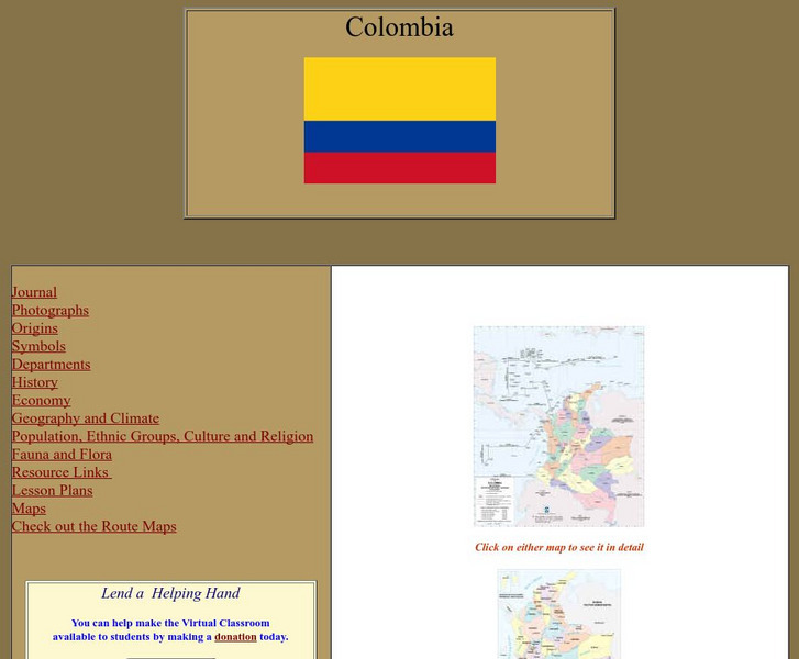
Adventure Learning Foundation: Colombia
Comprehensive reference tool with an abundance of country specific information about the South American country of Colombia. Content covered includes photos, symbols, history, economy, geography, climate, population, culture, maps, and...
Adventure Learning Foundation
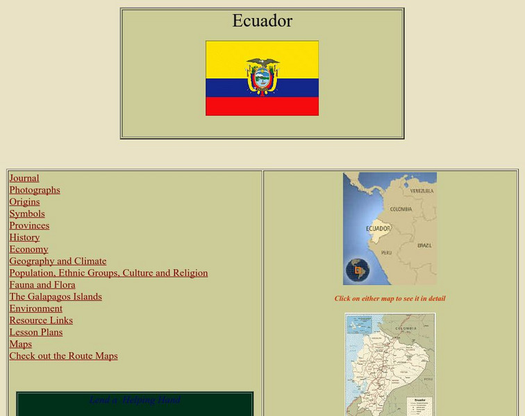
Adventure Learning Foundation: Ecuador
Comprehensive reference tool with an abundance of country specific information about the South American country of Ecuador. Content covered includes photos, symbols, provinces, history, economy, geography, climate, population, culture,...
Smithsonian Institution
Smithsonian Education: My Wonderful World
Interactive map of the world in which students select a continent and begin exploring using online resources from the Smithsonian Institute.
National Geographic Kids
National Geographic Kids: Peru
Welcome to Peru! Follow this interactive overview of the country's history, geography, people, government, nature, and more. A map and video are included.
Nations Online Project
Nations Online: Bolivia Country Profile
Features a country profile of Bolivia, background details, and numerous links to comprehensive information on the nation's culture, history, geography, economy, environment, population, news, government, maps, and much more tourism...
Nations Online Project
Nations Online: French Guiana
Provides a virtual travel guide to French Guiana: background details, and numerous links to comprehensive information on the nation's culture, history, geography, economy, environment, population, news, government, maps, and much more...
Nations Online Project
Nations Online: Paraguay
Features a country profile of Paraguay, background details, and numerous links to comprehensive information on the nation's culture, history, geography, economy, environment, population, news, government, maps, and much more tourism...
Nations Online Project
Nations Online: Suriname
Useful guide to a country profile of Suriname featuring background details and numerous links to comprehensive information on the nation's culture, history, geography, economy, environment, population, news, government, maps, and much...
Adventure Learning Foundation
Adventure Learning Foundation: Venezuela
Comprehensive reference tool with an abundance of country specific information about the South American country of Venezuela. Content covered includes photos, symbols, history, economy, geography, climate, population, culture, maps, and...
Other
Organization of American States Children's Page: Venezuela
Full of useful information relating to the country of Venezuela. Topics covered include: population, language, geography, government, photos, national symbols, national heroes, and folklore.
Eduweb
Eduweb: Amazon Interactive
Games and activities help students explore the Ecuadorian Amazon. Learn about the rainforest and the Quichua people who call it home, and experiment with running a community-based ecotourism project along the Rio Napo.
University of Texas at Austin
Perry Castaneda Library Map Collection: Venezuela Maps
This site provides several country and city maps as they relate to Venezuela.
SMART Technologies
Smart: World Map
This lesson features a world map with labeled countries, a global map, and an interactive map of the seven continents.
Geographyiq
Geography Iq: Uruguay Historical Highlights
Offers an overview of the history of the South American country of Uruguay beginning with its discovery by the Spanish in 1516 through the 2004 national elections.
Geographyiq
Geography Iq: Uruguay Economy
Presents an overview of the economy in Uruguay with additional statistical information concerning GDP, poverty rate, labor force, household income, debt, currency, and more.
Geographyiq
Geography Iq: Venezuela Historical Highlights
Examines highlights of the political conditions and history of Venezuela from the first colony established in 1522 to the election of 2004.
Curated OER
Perry Castaneda Map Collection: Latin America Map
This political map of Latin America and South America is in color and features major cities.
National Earth Science Teachers Association
Windows to the Universe: The Andes Mountains
Satellite photography and brief outline information describe the Andes mountains and provide links to specific features within the landscape - Atacama desert, or evidence of volcanic activity for example.
Adventure Learning Foundation
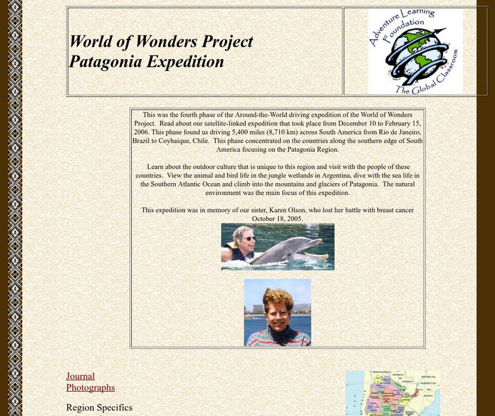
Adventure Learning Foundation: Patagonia Expedition
Take an exciting tour of the Patagonia region in South America in this engaging site. Students discover the history, economy, geography, climate, and people of this region. It includes maps, journal excerpts, photographs, and classroom...
Other
Brazil
Great resource for studying Brazil. Site contains general information about the country, interesting facts, information about the five regions, and resources for teachers.
Curated OER
Carver, Jonathan 1781, New Map of North America
"The David Rumsey Historical Map Collection focuses on rare 18th and 19th century North and South America cartographic history materials. Historic maps of the World, Europe, Asia and Africa are also represented. The collection categories...
Other
Geo Hive: Guyana
Good statistical resource that provides a list of the administrative divisions of Guyana, the capitals of these divisions, their area, and population. It also lists the 2 main cities in Guyana with their population.


