Hi, what do you want to do?
University of Waterloo (Canada)
University of Waterloo: Archaeology in Arctic North America
A resource regarding the Arctic region and a look at some of the recent archaeological projects there. The introduction offers a short look at the geography and history of the area.
University of Texas at Austin
University of Texas: Restoring Women to World Studies [Pdf]
In much of the social studies-especially courses focused on world history, geography, and culture-there has been a long-standing awareness that the experience of women has been left out of the narrative. Recent changes in state,...
Enchanted Learning
Enchanted Learning: Geography
At this site from Enchanted Learning, you can take a quiz, printout a map of the United States of America, and see where the Middle East is located in the world. Links are also provided for additional information.
Library of Congress
Loc: Maps of Cities and Towns
Looking for old maps of somewhere in the United States? Check out this huge collection of maps! Search by the name of a city or town, another keyword, subject, title, or geographic location.
Kidport
Kidport: United States of America Geography
This site contains a fun way to learn about the states within the United States. Click on the state that you want to learn more about and it provides facts, geographic landmarks, points of interest, major industries, a quiz and more.
Encyclopedia of Earth
Encyclopedia of Earth: Canada
The Encyclopedia of Earth provides an overview of Canada, including its geography, natural resources, history, government, economy, and much more. Maps and images are also included, along with sources used to create the entry.
Encyclopedia of Earth
Encyclopedia of Earth: Navassa Island (United States)
The Encyclopedia of Earth provides an overview of Navassa Island (United States), including its geography, natural resources, history, government, economy, and much more. Maps and images are also included, along with sources used to...
Curated OER
Merriam Webster: Visual Dictionary Online: North America
Labeled map of the major geographical features of North America.
Other
Museum of Western Colorado
This site contains information/links to artifacts, photographs, Native Americans, the Old West, facts about the 20th century, and dinosaur-rich geography.
Geographic
Map of Canada
Basic map of Canada. Includes major cities, coastlines, major lakes and rivers, and bays.
Houghton Mifflin Harcourt
Harcourt: School Publishers: Towns in the Northeast
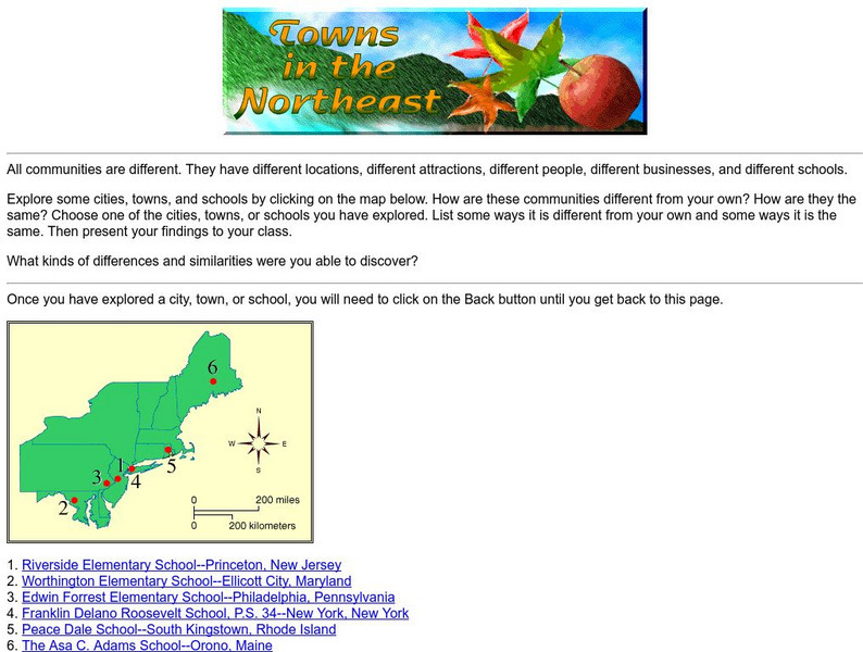
"All communities are different. They have different locations, different attractions, different people, different businesses, and different schools." This site is about some of the cities in the Northeast section of the United States....
Houghton Mifflin Harcourt
Harcourt: School Publishers: Postcards From the Southwest
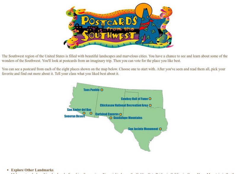
The Southwest region of the United States is filled with beautiful landscapes and marvelous cities. Use this site to see and learn about some of the wonders of the Southwest. You'll look at postcards from an imaginary trip. Then you can...
Curated OER
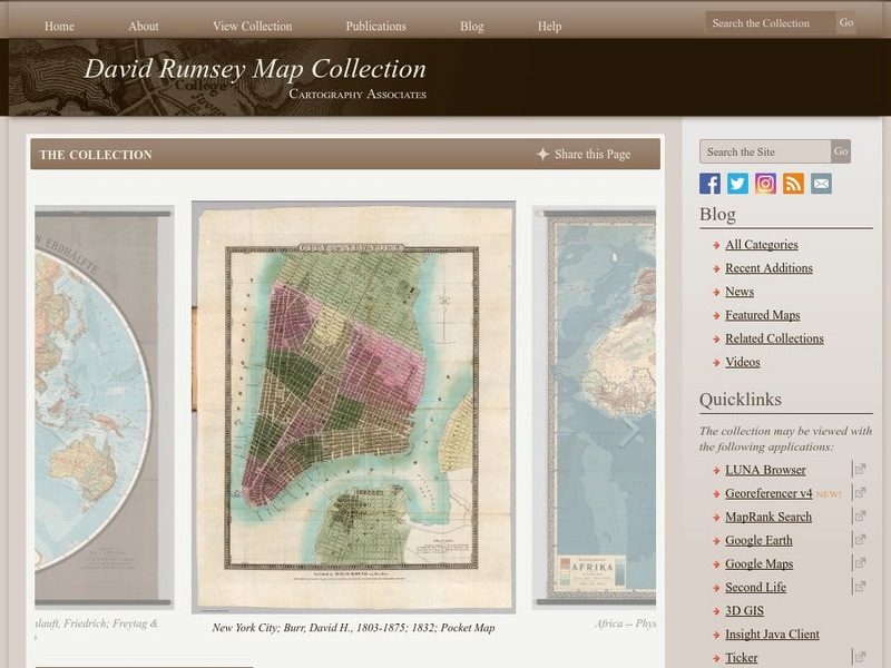
Carver, Jonathan 1781, New Map of North America
"The David Rumsey Historical Map Collection focuses on rare 18th and 19th century North and South America cartographic history materials. Historic maps of the World, Europe, Asia and Africa are also represented. The collection categories...
World Geography Games
World Geography Games: Capitals of America
Match the country in the Americas with its capital city.
Siteseen
Siteseen: Land of the Brave: Southern Colonies
Information and facts about the Southern Colonies of Colonial America including geography, natural resources, religion, climate, trade, and history timeline.
Maps of Mexico
Virtual Picture Travel Map of Massachusetts
Click on Massachusetts on the US map in order to Travel there and take a virtual tour of Boston. Visit places of interest such as Harvard University, MIT, John F. Kennedy Library and Museum, the Freedom Trail, Copley Square, Trinity...
Maps of Mexico
Virtual Picture Travel Map of Massachusetts
Click on Massachusetts on the US map in order to Travel there and take a virtual tour of Boston. Visit places of interest such as Harvard University, MIT, John F. Kennedy Library and Museum, the Freedom Trail, Copley Square, Trinity...
SMART Technologies
Smart: World Map
This lesson features a world map with labeled countries, a global map, and an interactive map of the seven continents.
National Wildlife Federation
National Wildlife Federation: The Red Desert
One of the last remaining high-desert ecosystems in North America, this resource presents an overview of the Red Desert in southern Wyoming offering its geographic features, local wildlife, and the threats to the lands.
BBC
Bbc: News: Country Profile: Canada
The BBC provides many great facts about the second largest country in the world, Canada. You can listen to the national anthem, learn about its leader, view a timeline of key events, and link to national media agencies.
Other
The David Rumsey Historical Map Collection
"The David Rumsey Historical Map Collection focuses on rare 18th and 19th century North and South America cartographic history materials. Historic maps of the World, Europe, Asia, and Africa are also represented. The collection...
A&E Television
History.com: The States
Learn unique facts about each American state. You can also read a more in-depth history of each state, watch videos and play a game about all the states.
Annenberg Foundation
Annenberg Learner: Interactives: Southeast Tribes
Interactive web site where students can learn about the development of the geography of the United States over the course of history. This section of the site focuses on the original inhabitants of North America, in particular the...
Other
David Rumsey Historical Map Collection
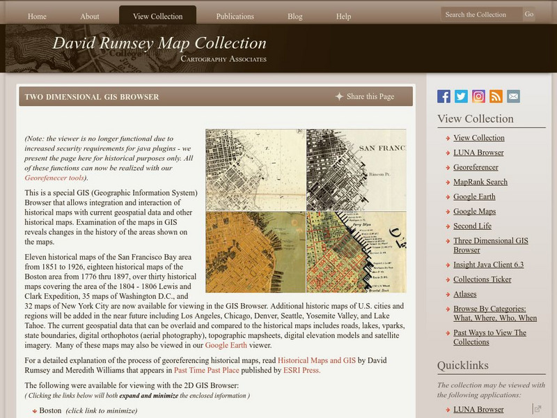
The collection of more than 150,000 maps focuses on rare 18th and 19th-century maps of North and South America, although it also has maps of the World, Asia, Africa, Europe, and Oceania. The collection includes atlases, wall maps,...


![University of Texas: Restoring Women to World Studies [Pdf] Lesson Plan University of Texas: Restoring Women to World Studies [Pdf] Lesson Plan](https://static.lp.lexp.cloud/images/attachment_defaults/resource/large/FPO-knovation.png)


