Curated OER
Exploring Canadian Heritage
Middle schoolers use the online Atlas as a research tool to find information on national parks and world heritage sites.
Curated OER
Where In the World is the Dominican Republic?
Students begin the lesson by discussing how where they live affects how they live. As a class, they add examples to each category such as home types, clothing, jobs and food. Using those categories, they write about their life in the...
Curated OER
Math Hunt: Extreme Weather
Students investigate integrals. In this math lesson, students relate real world situation to investing. They may visit a local business to do this assignment.
Curated OER
Mapping the Halifax Explosion
Students research the Halifax Explosion using historical maps.
Curated OER
Introduction to Population Statistics
High schoolers examine population statistics. For this population lesson, students navigate the Internet to locate Canadian statistics regarding population.
Curated OER
Arctic cleanup
Ninth graders examine pollution problems and how it affects the community. In this arctic cleanup lesson plan students study ocean currents and how they affect pollution.
Curated OER
Video Boxes
Students create a video box about a Central American country. In this world history lesson, student research Central America and pick a country they want to investigate. They work in groups to create a video box that shows images about...
Curated OER
We've got the whole world in our hands
Students explore spatial sense in regards to maps about the globe. In this maps lesson plan, students label oceans, locate the continents and poles, follow directions, and explain the symbols on a map.
Curated OER
Neighborhood statistics
Students examine statistics relating to neighborhoods. They use the data to explain how a population affects their environment. They discuss how businesses use statistics to find out information about their clientele.
Curated OER
Getting to Know My World
Students participate in hands-on activities using maps and globes to identify geographical features. Students use map legends to identify direction. Students locate oceans, continents, countries, states and cities. Handouts and...
Curated OER
Canadian Olympic Fashion
Students, in groups, research a Canadian Olympic sport and design a uniform for a Canadian Olympic team.
Curated OER
USA Immigration by Country Quiz
In this online interactive geography quiz learning exercise, learners respond to 30 identification questions about countries U.S. citizens have immigrated from. Students have 5 minutes to complete the quiz.
Curated OER
Jelly Critters
Students compare and contrast three different organisms that are considered gelatinous zooplankton. They describe how they fit into marine food webs.
Curated OER
Arsenic Contamination: Water Filtration
Students work in groups to design a filtration process that will separate clean water from polluted water. They organize data in tables or graphs and present their findings to the class. Students identify further safety protocols that...
Other
Parks Canada: Glacier National Park of Canada
Glacier National Park of Canada is located in the Interior of British Columbia. This site has a wealth of information about the park, its history, management, geography, etc.
Lizard Point Quizzes
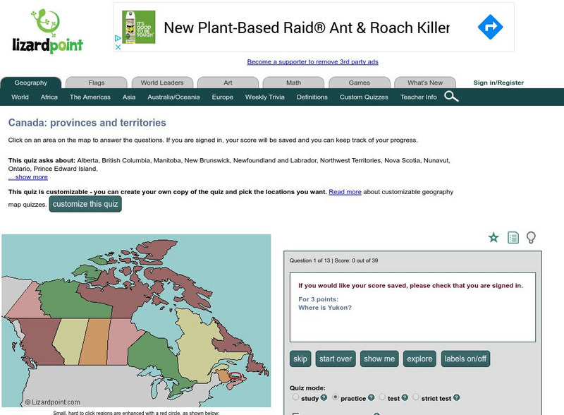
Lizard Point: Test Your Geography Knowledge Canada
Use this site to test your students, and your knowledge regarding the location of the provinces and territories of Canada.
Enchanted Learning
Enchanted Learning: Zoom School: Canada
This site provides teachers with resources relating to the study of Canada including blackline masters, graphic organizers, and other student activity sheets. In addition, there are links to related resources that are located elsewhere...
Other
Discover Canada Through National Maps and Facts: Relief
Links to all of Canada's provinces and territories relief maps. Maps can be viewed as a picture or as a .pdf file. Be sure to check out the links to lesson plans as well as the many other types of maps.
Geographic
Map of Canada
Basic map of Canada. Includes major cities, coastlines, major lakes and rivers, and bays.
Other
Canadian Centre for Energy Information: Canada Fueled by Resources [Pdf]
In this teaching unit for Grades 4 and 5, students learn about Canada's petroleum resources, the impact on the environment from our use of them, and how the geography Of Canada affects things like population distribution and regional...
Countries and Their Cultures
Countries and Their Cultures: Canada
Provides an overview of the culture of Canada. Gives basic information on topics such as geography, ethnic makeup, languages, symbolism, economy, food, customs, social stratification, family life, education, religion, politics, etc....
Other
Knight's Canadian Info Collection: Geographic Regions of Canada
Canada is divided into distinct regions, each with a very different landscape and climate. Geographic and ecozone maps as well as text information is included.
Other
Province of Manitoba Canada
By following the links on the Government of Manitoba's homepage, students can learn about the government, history and heritage, climate, and geography of Manitoba, as well as current initiatives and issues facing Manitobians.
Other popular searches
- Physical Geography of Canada
- Cultural Geography of Canada
- Human Geography of Canada
- Basic Geography of Canada


