Texas State Historical Association
Texas State Historical Association: Texas Rivers Map [Pdf]
A blank outline map showing the major rivers of Texas. A full color, labeled map of these rivers is available in the Texas Almanac, which is free to download from the main website.
Texas State Historical Association
Texas State Historical Association: Texas Counties Map [Pdf]
A blank outline map showing the many counties of Texas. A full color, labeled map of the counties is available in the Texas Almanac, which is free to download from the main website.
Digital Dialects
Digital Dialects: Geography Games: Oceans and Seas
Study a labeled world map showing the oceans and seas, and then try to match their names to their locations on a blank map.
Other
University of Wisconsin Marathon County: Koppen's Classification Map
Keeping vegetation in mind, Koppen's Climate Classification Map is the most widely used system of measuring the combination of precipitation and temperature. This map identifies areas and labels them variations of tropical, dry,...
Digital Dialects
Digital Dialects: Geography Games
A collection of geography games where you study a labeled map, and then try to match place names to their locations on a map that is now blank.
ClassFlow
Class Flow: Labeling United States
[Free Registration/Login Required] This flipchart allows the students to use a 50 states map to move the states into their correct position on the map and identify states by their abbreviations. The flipchart is designed to help students...
Annenberg Foundation
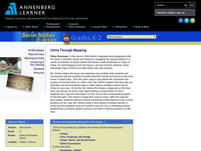
Annenberg Learner: China Through Mapping
For this lesson, Mimi Norton integrates world geography with the study of Chinese culture and history by engaging her young students in a variety of activities to locate natural and human-made landmarks on maps of China. To build...
Enchanted Learning
Enchanted Learning: The Continents
Brightly colored printouts, maps, and graphics on the greatest land masses on earth. See how continental drift works, look up extremes, label maps, learn about latitude, longitude and other geography terms. Teachers will find a Landforms...
Loyola University Chicago
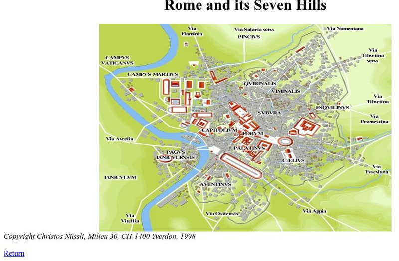
De Imperatoribus Romanis: Rome and Its Seven Hills
This online map shows Rome, the seven hills, the roads that lead into Rome, and major buildings. Labeled in Latin, but easy to figure out.
PBS
Pbs Learning Media: Montana: The Borders of Montana
Students will study a map of Montana's terrain, learn about natural and manmade boundaries, label the major features of the state, and pick which area of Montana would be best for settlement and explain why.
ClassFlow
Class Flow: North American Regions
[Free Registration/Login Required] This flipchart contains a labeling activity and Activote questions pertaining to the North American regions.
Curated OER
Merriam Webster: Visual Dictionary Online: North America
Labeled map of the major geographical features of North America.
![Texas State Historical Association: Texas Rivers Map [Pdf] Graphic Texas State Historical Association: Texas Rivers Map [Pdf] Graphic](https://d15y2dacu3jp90.cloudfront.net/images/attachment_defaults/resource/large/FPO-knovation.png)


