Hi, what do you want to do?
Country Studies US
Country Studies: Afghanistan: Geography
A description of the rough terrain of Afghanistan along with its latitude, longitude, area, and neighbors. Small map included and links to related articles. From the Country Studies of the Library of Congress.
PBS
Pbs Nova Online: Lost at Sea the Search for Longitude
"The quest for a reliable method to find your way at sea was one of the thorniest problems of the 1700s." Find out about the search for longitude at this NOVA site. Includes interactive Shockwave game, learning activities and more.
Texas Instruments
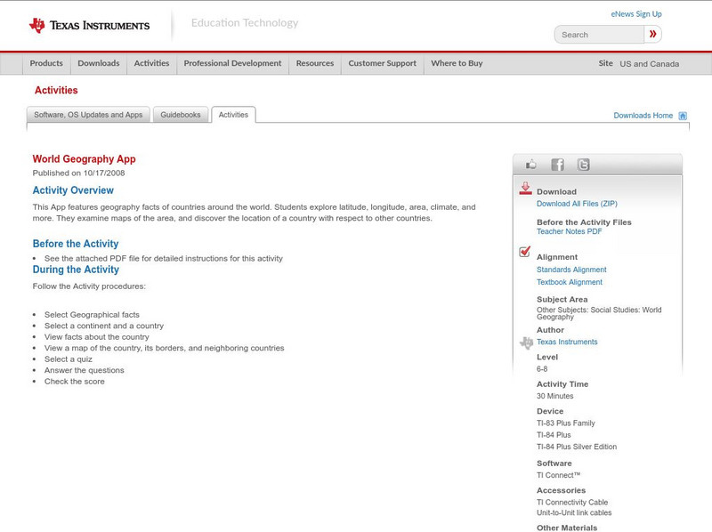
Texas Instruments: World Geography App
This classroom activity features geography facts of countries around the world. Students explore latitude, longitude, area, climate, and more. They examine maps of the area, and discover the location of a country with respect to other...
Social Studies for Kids
Social Studies for Kids: Latitude and Longitude
A collection of latitude and longitude mapping activities ranging from pin-pointing exact locations on the globe to researching the history behind this basic geography concept.
Other
Physical Geography: Glossary of Terms
Teachers who are looking for a complete course study in physical geography need this site. It is very well organized and colorfully designed. It contains an online glossary, study guides, links, clip art, maps etc.
ibiblio
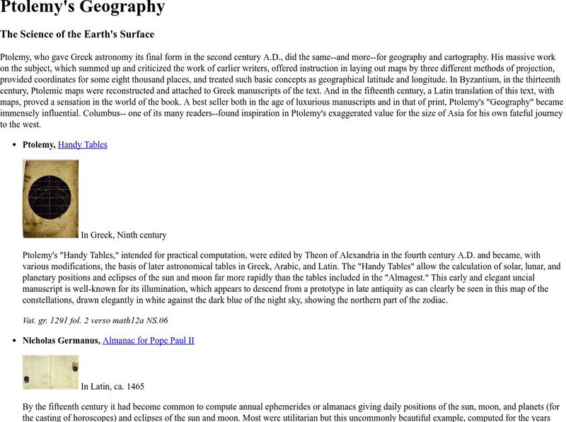
Ibiblio: Ptolemy's Geography
Brief discussion about Ptolemy's geography. Includes pictures of publications from ancient Greece based on Ptolemy's beliefs.
Latimer Clarke Corporation
Altapedia Online: World Map Resources
Features downloadable World Political and Physical Maps that include country names, country borders, ocean features, island names, and lat/long graticules. Clicking on any part of the map enlarges it.
Ohio Test Prep
Ohio Test Prep: Module 4: Geography Skills
Test preparation material for the Ohio tests in Social Studies provides video tutorials, practice interactives and assessment on geographic tools, latitude and longtitude, and regions.
NSTATE
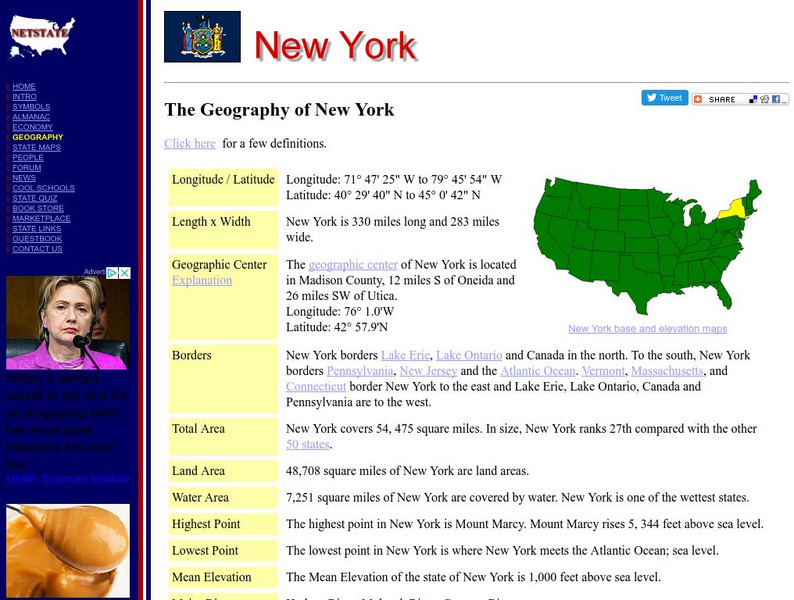
Net State: The Geography of New York
Learn about the geography of New York. Includes latitude and longitude information, as well as information about the highest and lowest areas of land.
NSTATE
The Geography of Texas
Here you will find a variety of facts about the geography of the state of Texas. Find out the geographic center, total area, climate and much more.
NSTATE
Net State: The Geography of North Carolina
Here at NetState you will find a variety of facts about the geography of the state of North Carolina. Find out the geographic center, total area, elevations and much more.
NSTATE
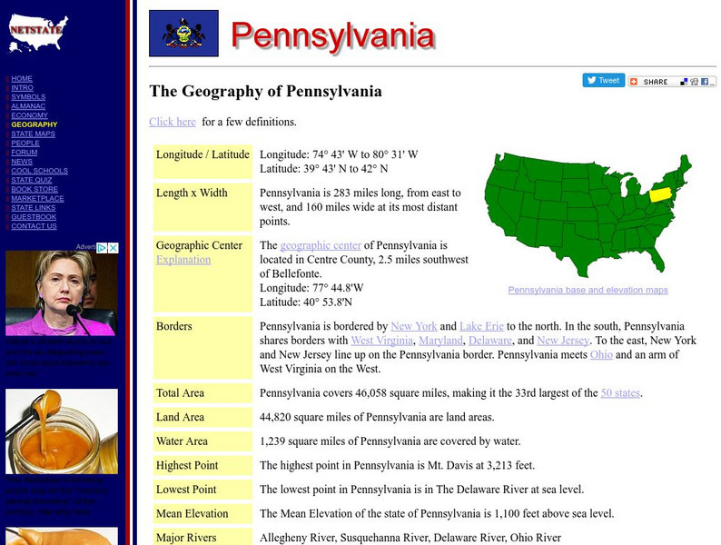
The Geography of Pennsylvania
Here you will find a variety of cool facts about the geography of the state of Pennsylvania. Find out the geographic center, total area, elevations and much more.
NSTATE
The Geography of Mississippi
Here you will find a variety of facts about the geography of the state of Mississippi. Find out the geographic center, total area, elevations and much more.
NSTATE
Net State: The Geography of Rhode Island
Here at NetState you will find a variety of facts about the geography of the state of Rhode Island. Find out the geographic center, total area, elevations and much more.
History Teacher
Historyteacher.net: Global Studies: General Geography Concepts Quiz
Quiz yourself on basic geography concepts.
Johns Hopkins University
Johns Hopkins University: Arkansas State Maps
Learn more about the Arkansas' geography through the maps at this website from the Johns Hopkins University Applied Physics Laboratory. These maps give in depth information on the landforms found in Arkansas.
Johns Hopkins University
Johns Hopkins University: Arkansas State Maps
Learn more about the Arkansas' geography through the maps at this website from the Johns Hopkins University Applied Physics Laboratory. These maps give in depth information on the landforms found in Arkansas.
ClassFlow
Class Flow: Global Knowledge Where in the World Am I?
[Free Registration/Login Required] This flipchart explains the division of the hemispheres, northern and southern, and eastern and western. The Equator and Prime Meridian are defined, as well as latitude and longitude. Students are given...
Johns Hopkins University
Johns Hopkins University: Alabama State Maps
Check out this site from the Johns Hopkins University Applied Physics Laboratory for several different types of maps for the state of Alabama. You can find everything from a county map to a shaded relief map. If you are looking for map...
TeachEngineering
Teach Engineering: Who Can Make the Best Coordinate System?
Students learn about coordinate systems in general by considering questions concerning what it is that the systems are expected do, and who decided how they look. They attempt to make their own coordinate systems using a common area...
TeachEngineering
Teach Engineering: What's Wrong With the Coordinates at the North Pole?
Students complete a self-guided exercise in worksheet format combined with Google Earth that helps them explore practical and observable differences between different projection and coordinate systems. The activity improves their skills...
ClassFlow
Class Flow: Geographical Skills
[Free Registration/Login Required] In this lesson students understand how physical processes (weathering, erosion, climates, soils, and landforms) shape earth's surface patterns and systems.
Curated OER
Degree Confluence Project
This project makes it interesting to learn about degree confluence, latitude, longitude, and the geography of the world in general. Volunteers can visit the nearest confluence; or you might want to take a mysterious trip to find one that...
Curated OER
Degree Confluence Project
This project makes it interesting to learn about degree confluence, latitude, longitude, and the geography of the world in general. Volunteers can visit the nearest confluence; or you might want to take a mysterious trip to find one that...


