ResourcesWeb & Docs
MediaVideo & Audio
CollectionsLessons & Topics
AI Teacher ToolsInstruction & Ideas
newFilter
5 results:
geography google earthClear All
Radford University
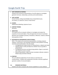
Google Earth Trip
Travel the world instantly—and learn about math along the way. Using pictures of famous places taken from Google Earth, scholars look for parallel and perpendicular lines based on slope and angle measurements. They also calculate...
Teach Engineering
Where Are the Plastics Near Me? (Mapping the Data)
The last activity in a nine-part series has teams create a Google Earth map using the data they collected during a field trip. Using the map, groups analyze the results and make adjustments to the map to reflect their analysis. A short...
Teach Engineering
What's Wrong with the Coordinates at the North Pole?
Here is an activity that merges technology with life skills as individuals use Google Earth to explore the differences between coordinate systems and map projections. The self-guided worksheet is the fourth segment in a nine-part unit....
Curated OER
Publisher Brochures
Students create brochures on subjects they are studying in Publisher. In this nonfiction writing lesson, students use Publisher to create a brochure telling all the main ideas of a topic they are studying. Students use text boxes, fonts...
Curated OER
Boom Town/Gold Rush
Students discover the history of California by researching the Gold Rush. In this economics history lesson, students participate in a class discussion about the book Boom Town, and the value of gold in California. Students...


