Hi, what do you want to do?
Other
Esri Gis Education Community
Educators can incorporate ESRI GIS into their classroom to enrich geography lessons and use this community to trade ideas with other educators.
Other
21st Century Skills: Geography
This "roadmap" can show how Information and Communication Technology tools can be used to develop and enrich geography content instruction. Examples are given for 4th, 8th and 12th grades.
TeachEngineering
Teach Engineering: What's Wrong With the Coordinates at the North Pole?
Students complete a self-guided exercise in worksheet format combined with Google Earth that helps them explore practical and observable differences between different projection and coordinate systems. The activity improves their skills...
US Geological Survey
U.s. Geological Survey
The U.S. Geological Survey reports on the latest news affecting the earth today, as well as providing a wealth of data, reports, and information.
Other
Natural Resource Information Center: Maps of Montana
Resource contains 14 different maps of Montana in four different formats. Maps range anywhere from the county maps to the Indian reservation maps.
Other
Natural Resource Information Center: Maps of Montana
Resource contains 14 different maps of Montana in four different formats. Maps range anywhere from the county maps to the Indian reservation maps.
Travel Document Systems
Tds: Liberia: Geography
A graphic showing geographical information about Liberia. You can find out about its size, climate, land use, and terrain. Information is from the CIA World Fact Book.
Travel Document Systems
Tds: Sweden: Geography
Geographical and environmental information about Sweden. Information is from the CIA World Fact Book.
Travel Document Systems
Tds: Egypt: Geography
Overview of the geography of Egypt with information from the CIA World Fact Book. Learn about the terrain, climate, natural resources, environment, and importance of its geographic location.
Travel Document Systems
Tds: Gibraltar: Geography
This listing of geographic facts about Gibraltar gives information on the size, natural resources, climate, terrain, and strategic importance. From CIA World Fact Book.
Other
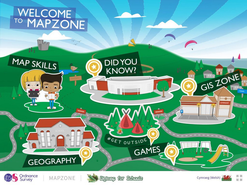
Ordnance Survey: Map Zone
All kinds of fun and interesting ways to learn about maps and acquire mapping skills.
Other
Swiss World
This site from the Swiss government contains extensive geographical, cultural, historical, economic, social and political information about this mountainous, multilingual country. It contains extensive links to authoritative outside...


