Hi, what do you want to do?
Siteseen
Siteseen: Land of the Brave: Royal Proclamation of 1763
Read the complete text of the Royal Proclamation of 1763 issued by King George III following the British victory over France in the French and Indian Wars.
Independence Hall Association
U.s. History: New France
This site has a good description of the differences between the French settlements in New France and the British colonies in America. Read about the rights of the French colonists as opposed to those of the English colonists.
Travel Document Systems
Tds: Grenada: History
Find out about the history of Grenada, a small island in the Caribbean. Read about its discovery by Columbus, its passing from French control to British, and its modern history. Information is from the U.S. State Dept. Background Notes.
University of Groningen
American History: Documents: Treaty of Paris 1763
Visitors will find a transcript of the text of the Treaty of Paris. The beginning has a long description of the people and countries involved in the Seven Years' War. It goes on to state the terms of the peace treaty for France after...
Independence Hall Association
U.s. History: Royal Proclamation of 1763
An explanation of the cause and effects of the Proclamation of 1763 along with the original text itself.
Curated OER
Educational Technology Clearinghouse: Maps Etc: North American Colonies, 1643
A map of the North American Colonies in 1643 at the establishment of the New England Confederation. The map is color-coded to show the territorial claims of the British, French, Dutch, and Swedish at the time, and shows the British...
Curated OER
Etc: Maps Etc: British Possessions in North America, 1775
A map showing the British possessions in North America in 1775, before the outbreak of hostilities during the American Revolutionary War. The map shows the boundaries of the British Colonies along the Atlantic, the Proclamation Line of...
Curated OER
Etc: Maps Etc: British Possessions in North America, 1765
A map showing the British possessions in North America in 1765 after the French and Indian War, as defined by the Treaty of 1763, Proclamation of 1763, and the Royal Orders of 1764-1767. The map shows the British Colonies on the...
Other
Bloorstreet.com: Royal Proclamation of October 7, 1763
Explore the British proclamation that was induced by Pontiac's Rebellion. Read the text of the Proclamation and a discussion of its effects.
Curated OER
Etc: Maps Etc: French Posts and Forts in Louisiana and New France, 1754
A map of North America showing the French posts and forts at the beginning of the French and Indian War (1754) between the French and the British. The map is color-coded to show the territorial claims of the British, French, and Spanish...
Curated OER
Educational Technology Clearinghouse: Maps Etc: Brazil and Guiana, 1911
A map from 1911 showing the British, Dutch, and French Guiana colonies, and eastern Brazil from approximately 60 degrees west of Greenwich to the Atlantic Coast, and from Guiana in the north to Sao Paulo in the south, and the Amazon...
Curated OER
Educational Technology Clearinghouse: Maps Etc: Venezuela and the Guianas, 1915
Map of Venezuela, and the former colonies of British Guiana (Guyana), Dutch Guiana (Suriname), and the current departements d'outre-mer French Guiana showing boundaries current to 1915, major cities, the Orinoco River, and Lake Maracaibo.
Other
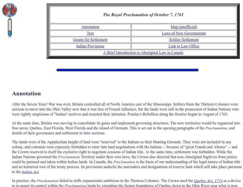
The Royal Proclamation of October 7, 1763
The original text of the British Royal Proclamation, 1763 - the document that dealt with the governance of the new colonies of British North America. The author of the site has published the text of the document as well as an annotation...
National Humanities Center
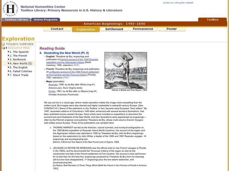
National Humanities Center: Toolbox Library: New World: Part Ii, American Beginnings: 1492 1690
Two European maps of Florida and Roanoke, and a British and a French account-with associated engravings of these settlements-that promote a European interpretation of and claim over these areas.
Curated OER
Educational Technology Clearinghouse: Maps Etc: Africa, 1920
A map of Africa in 1920 showing colonial possessions of the British, French, Italian, Portuguese, Spanish, and Belgians, including the former German colonies, lost after WWI, to French and British control per the Treaty of Versailles.
PBS
Pbs: Commanding Heights: Nigeria, an Overview
Brief timeline of Nigerian history in the twentieth century, from the PBS series "Commanding Heights: The Battle for the World Economy." Includes timeline entries related to independence, which was achieved in 1960.
Curated OER
Educational Technology Clearinghouse: Maps Etc: Colonial Africa, 1904
A map of Africa shortly after the Berlin Conference of 1885, which established the European colonial territory claims on the continent. These European and independent boundaries include Algeria and the Saharan Sphere of French Influence,...
Curated OER
Etc: Native American Delimitations, 1763 1770
A map of the American colonies and territories west to the Mississippi River between the end of the French and Indian War of 1763 and the beginnings of westward expansion of the trans-Appalachian colony proposed in the Vandalia Project...
Curated OER
Etc: Claims of Various European Countries to the Us, 1643 1655
A map of the eastern coast of North America showing territorial claims of Europeans and the development of the United Colonies of New England (New England Confederation) in 1643, and the territorial changes between the Dutch and British...
Curated OER
Educational Technology Clearinghouse: Maps Etc: Post Wwi Africa, 1918
This map is of Africa after World War I. The scramble by Italy, Belgium, and Germany to create colonies in order to keep up with the British, French, and Spanish Empires was played out in Africa, the last remaining continent yet to be...
Curated OER
Educational Technology Clearinghouse: Maps Etc: Bay Verte, 1775
A map of New Brunswick and Nova Scotia near Bay Verte (Green Bay) and the eastern shore of Chignecto showing the campaign of Colonel Monckton in 1775 against the French. "About the last of May, Colonel Monckton sailed from Boston, with...
Curated OER
Educational Technology Clearinghouse: Maps Etc: Fort Pentagoet, Maine, 1626
A sketch map of the eastern shoreline of Penobscot Bay, Maine, showing the location of the early French settlement and fort Pentagoet (Fort Pentagouet), or Castine at around the time the British from the Plymouth Colonies rousted the...
Curated OER
Educational Technology Clearinghouse: Clip Art Etc: Charles Gravier Vergennes
Charles Gravier, comte de Vergennes (December 20, 1717-February 13, 1787) was a French statesman and diplomat. His rivalry with the British, and his desire to avenge the disasters of the Seven Years' War, led to his support of the...
Curated OER
Etc: Maps Etc: Sketch Map of Mid Century Africa, Circa 1850
A map of Africa around the middle of the nineteenth century showing European interests on the continent prior to the Berlin Conference of 1885, which established their territorial claims. The majority of the continent was unexplored at...


