Hi, what do you want to do?
Curated OER
Revolution, Revolution
In this revolutions activity, students use a set of song lyrics, follow along with the song "Revolution, Revolution," then use a word bank to answer a set of 5 questions and fill in correct answers to 7 additional questions. No song link...
Curated OER
A Revolutionary War Sea Battle
Students study the battle for the Serapis. In this measuring distance lesson, students find the North Sea on a globe and find various locations.
Curated OER
Reading Comprehension/history: George Washington
In this George Washington activity worksheet, students read a one page information sheet about George Washington. Students put 10 events from his life in correct order. Then students answer 4 critical thinking questions.
Curated OER
The Road to Revolution: 1754-1775 (5)
In this online interactive history worksheet, students respond to 19 matching questions regarding the events that led to the American Revolution. Students may check their answers immediately.
Curated OER
Hobart Audio Clip
In this ESL worksheet, students listen to an audio clip about Hobart, the capital city of Tasmania. Students answer 14 questions about the audio clip.
Curated OER
The Acadian Odyssey
The dispersion of the Acadians is outlined in this informative PowerPoint. Colorful maps help show where different Acadians settled throughout the United States. Tip: After viewing this slideshow, have students create a timeline of the...
Curated OER
History-5 Word Search
In this literacy worksheet, learners find the words that are in the word search puzzle that focus upon the vocabulary that is from the theme of the sheet.
Curated OER
Surrender at Yorktown
Eighth graders examine the start of the American Revolution. In this American History lesson plan, 8th graders analyze primary sources. Students prepare a narration of events leading up to the revolution.
Curated OER
What Made George Washington a Great Leader?
Students examine the leadership attributes of George Washington. For this George Washington lesson, students listen to their instructor present a lecture regarding the leadership of first president. Students respond to...
OpenStax
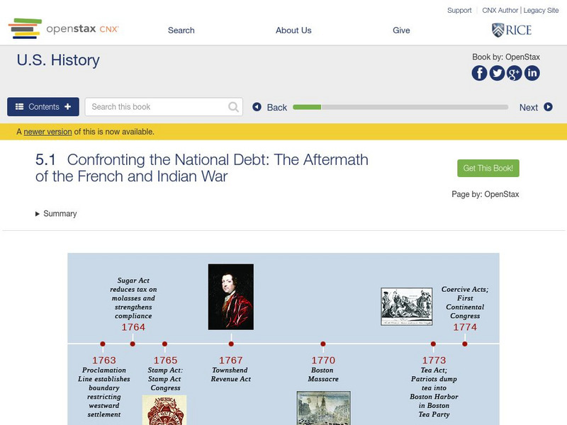
Open Stax: Confronting the National Debt: Aftermath of the French and Indian War
This section of a chapter on "Imperial Reforms and Colonial Protests" discusses the status of Great Britain's North American colonies in the years directly following the French and Indian War, describes the size and scope of the British...
Wikimedia
Wikipedia: New France
An overview of New France, from the time the French first began to explore the area until they ceded Canada to the British (Treaty of Paris, signed in 1763). Includes a discussion of the founding of Quebec City and early maps of the...
Colonial Williamsburg Foundation
Colonial Williamsburg: Numismatics: Coins and Currency in Colonial America
Valuable lessons in the history of Europeans' early exploration and settlement of America can be gained by following the money used in trade. Coins and Currency exhibition lets you examine evidence of Spanish, British, Dutch, French, and...
C3 Teachers
C3 Teachers: Inquiries: American Revolution
A learning module on the American Revolution that includes three supporting questions accompanied by formative tasks and source materials, followed by a summative performance task. Students investigate the question of whether the...
Countries and Their Cultures
Countries and Their Cultures: Wolof
The Wolof constitute a large ethnic group inhabiting the West African country of Senegal, a former French colony, and Gambia, a former British colony. "Wolof" is the name by which the people refer to themselves, and it is also the name...
Curated OER
Etc: Maps Etc: British Colonies After the French and Indian War, 1764
A map of the eastern portion of North America showing the British, Spanish, and Indian territories after the French and Indian War (1754-1763), with the proclamation line as established by the Treaty of Paris (1763). "The newly acquired...
Curated OER
Etc: Colonies During the French and Indian Wars , 1754 1763
A map of eastern North America at the time of the French and Indian War (1754-1763). The map is color-coded to show the possessions of the British, French, and Spanish at the time. The map shows the British colony boundaries, major...
Other
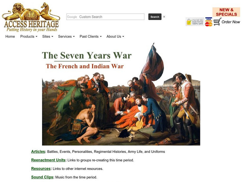
Military Heritage: The Seven Years War
This is a collection dedicated exclusively to the Seven Years War. The site offers links to articles about the war and both the French and British regiments, uniforms of the armies, and about individual battles themselves. Also provides...
University of North Carolina
University of North Carolina: Causes of the American Revolution [Pdf]
Goes through the various events that led up to the American Revolution and the actions and responses of the British and the Colonies.
University of Groningen
American History: Outlines: The British Move South
With the French now involved, the British stepped up their efforts in the southern colonies since they felt that most Southerners were Loyalists. A campaign began in late 1778, with the capture of Savannah, Georgia. Shortly thereafter,...
Other
Fortress of Louisbourg National Historic Park
The fortress of Louisbourg was one of the pivotal centre's of control and defense in the colony of New France. Ultimately, whomever controlled Louisbourg controlled access to the St. Lawrence Seaways and access to the New France...
Other
Philadelphia Print Shop: The French & Indian War
Read a brief history of the war with information on the British and the French. The page also includes a link to "Maps of the French & Indian War," which could be used in an elementary classroom setting. Note that this is an...
Other
The Road to Revolution
This is a site for a 14-day United States History unit on the events leading up to the American Revolution. The point of this unit is to help students form an understanding of events by using multiple primary accounts (teaching...
Curated OER
Etc: Maps Etc: Post Wwi Central and Southern Africa, 1920
A map of central and southern Africa in 1920 showing colonial possessions of the British, French, Italian, Portuguese, Spanish, and Belgians, including the former German colonies, lost after WWI, to French and British control per the...


