Hi, what do you want to do?
Alabama Learning Exchange
Alex: Transportation to the Western Frontier
There were several modes of transportation for early settlers to use when they moved to the west. Students will research and document four modes of transportation using the Internet and print resources in the library.
Independence Hall Association
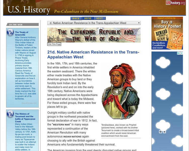
U.s. History: Native Resistance in the Trans Appalachian West
This site gives a brief look at the Indian alliance built by Tecumseh to confront the U.S. military which wanted to protect the settlers moving west into Indian territory.
Curated OER
Etc: Territorial Growth of the Continental Us, 1783 1853
A map from 1913 of the United States showing its acquisition of territory from the original states and Northwest Territory after the American Revolutionary War in 1783 to the Gadsden Purchase in 1853. The dates for each acquisition are...
Curated OER
Possessions of the United States Not on the American Continent, 1921
The " possessions of the United States not on the American continent.
Curated OER
Etc: Development of the Northwest Territory in Us, 1790 1810
A map of the American Northwest Territory showing the boundary developments in 1790, 1800, and 1810. The upper left map shows the territory acquired by the United States from Britain after the Revolutionary War as established by the...
Curated OER
Etc: Maps Etc: Territories of the United States, 1900
A map from 1909 showing territories added to the United States: Alaska (1867), Hawaii by annexation (1898), and Puerto Rico and the Philippines after the Spanish-American War (1898).
Independence Hall Association
U.s. History: Seeking Empire
A brief overview of the idea of expansion of the United States overseas in the last part of the 19th century and the early 20th century.
ClassFlow
Class Flow: Native Americans and the Last Battles
[Free Registration/Login Required] This flipchart covers the history of the conflict between the US government and Native Americans on the Great Plains in the late 1800's.
Curated OER
Etc: Maps Etc: The Expansion Resulting From the Louisiana Purchase, 1803
A base map showing the expansion of the United States resulting from the Louisiana Purchase in 1803.
Independence Hall Association
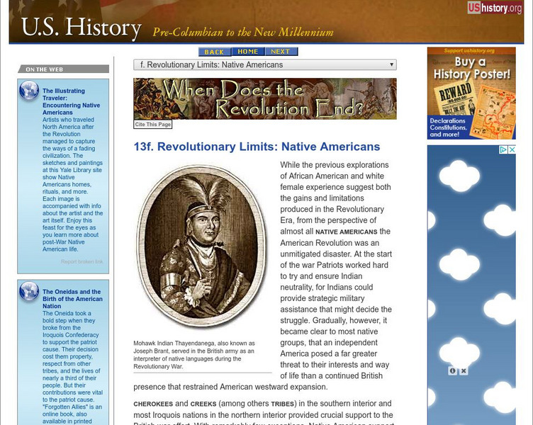
U.s. History: Revolutionary Limits: Native Americans
A good description of the actions and fate of the Native Americans who allied with the British to fight against the Americans. Find out that while the Native Americans had treaties with the British, they were not represented at the talks...
Independence Hall Association
U.s. History: War Breaks Out
A brief look at the expansionist moves of Japan in China, including a description of the Rape of Nanking. Also read about the military expansionism in Europe and Africa by both Germany and Italy, finally resulting in a declaration of war...
Curated OER
Educational Technology Clearinghouse: Maps Etc: The United States, 1821
A map of the United States and territories showing the westward expansion after the Missouri Compromise (1820) and the admission of Missouri into the Union in 1821.
Curated OER
Etc: United States Showing Acquisition of Territory, 1783 1900
A map from 1911 of the United States and its territories between 1783 and 1900 showing the nation's expansion and date of acquisition of each state or territory. The map also shows major cities, waterways, and mountain ranges. Includes...
Curated OER
Etc: United States Showing Acquisition of Territory, 1783 1900
A map from 1912 of the United States and its territories between 1783 and 1900 showing the nation's expansion and date of acquisition of each state or territory. The map also shows major cities, waterways, and mountain ranges. Includes...
Curated OER
Educational Technology Clearinghouse: Maps Etc: The United States, 1840
A map of the United States in 1840, showing the frontier line, indicate by the thick black line.
Curated OER
Etc: The Expanding United States, 1865 1898
A sketch map from 1899 of the western United States showing the present state boundaries (dashed lines) and states proposed between 1865 and 1898 (solid lines), including the states Yellowstone, Wallowa, West Dakota, South Colorado, and...
Curated OER
Educational Technology Clearinghouse: Maps Etc: The United States, 1859
A map from 1859 of the United States showing State and territory boundaries at the time, capitals and major cities, mountain systems, plains, lakes, rivers, and coastal features of the area.
Curated OER
Educational Technology Clearinghouse: Maps Etc: The Oregon Country, 1846
A map of the Oregon Territory showing the boundary on the 49th Parallel established by treaty between Great Britain and the United States in 1846, dividing what was once jointly held territory. The map also shows the boundary with Upper...
Curated OER
Educational Technology Clearinghouse: Maps Etc: The Oregon Country, 1819 1846
A map of the Oregon Country showing the adjustments to the boundaries between 1819-1846, including the southern boundary established by treaty with Spain in 1819, and the boundary dividing the territory between the United States and...
Curated OER
Educational Technology Clearinghouse: Maps Etc: The Perdido River, 1790 1842
A map of the Perdido River area, including Mobile Bay, Pensacola, and the Mississippi Delta. The Perdido River was the disputed boundary of West Florida between the United States and Spain, resolved in 1819 when Spain ceded Florida under...
Curated OER
Educational Technology Clearinghouse: Maps Etc: The United States, 1861
A map of the United States in 1861 after the secession of the Southern States. The map is color-coded to show the Free Union States, Union Slaveholding States, Confederate States, and the territories of Washington, Dakota, Nevada, Utah,...
Curated OER
Educational Technology Clearinghouse: Maps Etc: The United States, 1850
A map of the United States in 1850, showing the frontier line, indicate by the thick black line. The map shows the States added to the Union between 1840 and 1850, including Florida (1845), Texas (1845), Iowa (1846), Wisconsin (1848),...
Curated OER
Educational Technology Clearinghouse: Maps Etc: The Oregon Country, 1818 1846
A map of the Oregon Country showing the adjustments to the boundaries between 1818-1846, including the boundary established in 1818 to the east of the jointly controlled territory (Great Britain and the United States), the southern...
Curated OER
Educational Technology Clearinghouse: Maps Etc: The Louisiana Purchase, 1803
A map of the Louisiana territory purchased from France in 1803, and the boundary established with the western Spanish territory by the purchase. The map overlays the current State boundaries to show the extent of the territory.


