Museum of Fine Arts, Boston
Museum of Fine Arts, Boston: European Paintings Collection Highlights
Explore a selection of the MFA's holdings of over 1,400 paintings from across Europe, featuring masterworks from the middle ages to the mid-twentieth century. Click on 'View All Works' to access the collection.
Smithsonian Institution
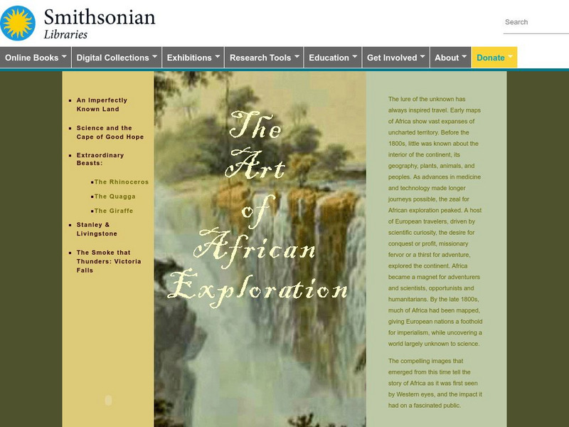
Smithsonian Libraries: The Art of African Exploration
The Art of African Exploration is a catalog of primary sources that documents the impressions of Europeans who traveled to Africa in the late eighteenth and nineteenth century to explore and conquer. View the work of expedition artists...
Curated OER
Etc: Early Discoveries and Explorations, 1497 1621
A map of the eastern coast of North America showing early European exploration from the voyages of Cabot (1497 and 1498) to the founding of New Netherlands in 1621. The map shows voyage routes, coastal features, rivers, and settlements...
Curated OER
Giacomo Gastaldi, La Nuova Francia
Thirty two primary sources-historical documents, literary texts, and visual images-that explore the expectations and the realities of European exploration of the New World.
Google Cultural Institute
Google Cultural Institute: The Solidarity and the Fall of the Iron Curtain
Photographic essay explores the New European Order and the fall of the Iron Curtain.
Library of Congress
Loc: Map Collections 1500 2002
This collection provides maps dating back to 1500 up to the present. The collection includes: cities, towns, discovery and exploration, conservation and environment, military battles, cultural landscapes, transportation, communication,...
Curated OER
Harriot, a Briefe and True Report, 1590
Two European maps of Florida and Roanoke, and a British and a French account-with associated engravings of these settlements-that promote a European interpretation of and claim over these areas.
Curated OER
Fort Caroline, 1564
Three European accounts of the disappointments, challenges, and outright failures to establish early successful colonial outposts in North America.
Curated OER
Lemoyve Athore
Thirty one primary sources-historical documents, literary texts, and visual images-that explore European reactions to the land and the people of the New World and the Natives' responses to European contact and conquest.
Curated OER
Coat of Arms, Lord Baltimore
Three maps of European settlement in Virginia, the Pacific Northwest, and the Spanish New World, and the accompanying official instructions from lenders and monarchs about the obligations, opportunities, and hopes that those...
Curated OER
Illus., Alexander Barclay, the Ship of Fools, 1509, Poem
Five literary responses to exploration and discovery-poems, fictional accounts, a play, and journal entries-that reflect European desire, frustration, and enchantment with the New World.
Curated OER
Slideshow
Thirty primary sources-historical documents, literary texts, and visual images-that explore motivations, visions, patterns, goals, challenges, and relationships with indigenous peoples offered by Europeans in their settlement of the New...
Curated OER
Slideshow
Fifty seven primary sources-historical documents, literary texts, and visual images-and one secondary historical account that explore imperial conflict, European economic rivalry, and the impact of colonial rule on native peoples.
Curated OER
Depicting the New World
A variety of paintings and drawings that display European images of their first encounters with the land, plants, animals, and native peoples of the western hemisphere.
Curated OER
Facial Reconstruction of Skull Excavated in Jamestown
Three English, a French, and a Spanish primary account of the staggering losses, misery, and deprivation that characterized early European settlement as well as the resilience needed to overcome those challenges.
Curated OER
The New and Unknown World, 1671
An online exhibition of images of European settlement to accompany two English, a French, and a Dutch set of promotional accounts that offer advice, encouragement, and occasional warning to prospective immigrants to newly settled areas...
Curated OER
An Aleut in His Baidarka, Ca. 1744
Two excerpts from the explorations of the Pacific coast by Sir Francis Drake and Vitus Bering as well as maps drawn to reflect those journeys.
Curated OER
American Journeys: Eyewitness Accounts...
A collaborative project of the Wisconsin Historical Society and National History Day, this site contains over 18,000 pages of primary source, eyewitness accounts of North American exploration starting with the Vikings.
Curated OER
I biblio.org: Expanding Horizons
IBiblio.org offers insight to the science, beliefs, and technologies of 15th and 16th century Europeans. Provides excellent images and examples.
Curated OER
I biblio.org: Expanding Horizons
IBiblio.org offers insight to the science, beliefs, and technologies of 15th and 16th century Europeans. Provides excellent images and examples.
Curated OER
I biblio.org: Expanding Horizons
IBiblio.org offers insight to the science, beliefs, and technologies of 15th and 16th century Europeans. Provides excellent images and examples.
Curated OER
Etc: Dev of Colonies and Early Western Explorations, 1700 1775
A map of eastern North America showing the early development of the European colonies and westward exploration to the Mississippi River. The map shows the routes of several early explorers with dates of exploration, including La Salle,...
Other
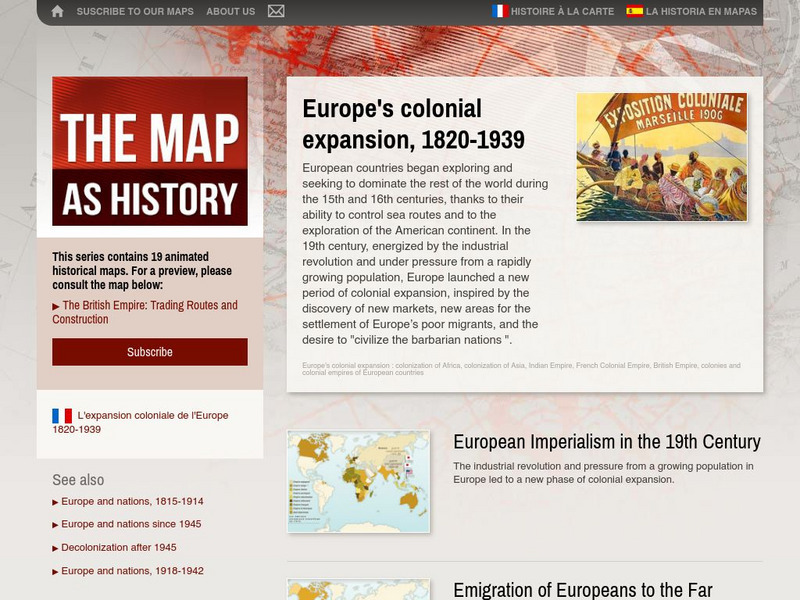
The Map as History: Europe's Colonial Expanision 1820 1939
European countries began exploring and seeking to dominate the rest of the world during the 15th and 16th centuries, thanks to their ability to control sea routes and to the discovery of the American continent. In the 19th century,...
Arizona State University
Archaeological Research Institute: A Walking Tour of Plimouth Plantation
A visual exploration, supported by interpretive text, of Plymouth Plantation as it existed in the 1600s. Includes photographs of buildings, a wigwam, European and Native American clothing, and tools used.
Other popular searches
- European Exploration Chart
- European Exploration Routes
- European Exploration Reasons
- European Exploration America
- Early European Explorations
- Age of European Exploration
- European Exploration in Texas
- European Exploration of Texas


